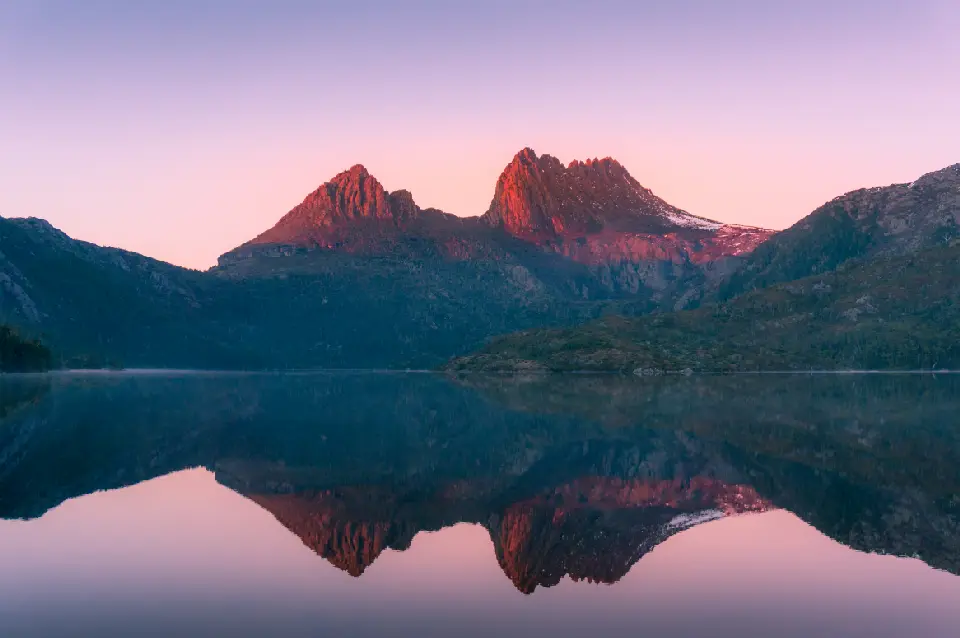
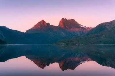
Cradle Mountain reflected in Dove Lake at sunset, Tasmania.
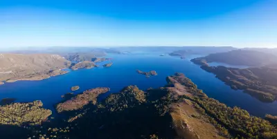
Tasmania is an island wilderness system south of mainland Australia defined by rugged mountain ranges, glacial lakes, temperate rainforest, wild rivers, and an extensive coastline. The island includes the alpine landscapes of Cradle Mountain and the Central Highlands, the remote western and southwestern wilderness, and the granite coastlines of the east. The terrain transitions between glaciated mountains, forested valleys, open button-grass plains, river systems, and exposed coastal landscapes. Granite and dolerite formations create distinctive mountain and coastal scenery across much of the island. Seasonal variation and rapidly changing Southern Ocean weather influence vegetation, water levels, snow cover, cloud, and atmospheric light throughout the year.
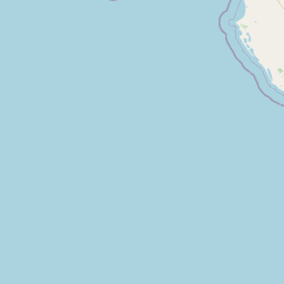
Structured Map of Tasmania
A connected view of the landscape, organised by regions, areas, and key locations.








Central Plateau
landmark
Lake St Clair
water feature
Walls of Jerusalem National Park
landmark
Cradle Mountain & Central Highlands
area district
Dove Lake
landmark
Cradle Mountain
landmark
Nelson Falls
water feature
Franklin-Gordon Wild Rivers National Park
area district
Donaghys Hill
landmark
Frenchmans Cap
landmark
Gordon River
water feature
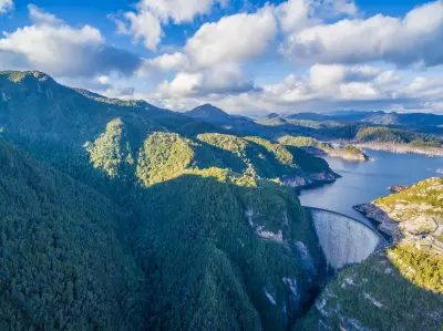
Gordon Dam & Lake Gordon
water feature
Southwest Wilderness
area district
Lake Pedder
water feature
Tarn Shelf
landmark
Lake Dobson
landmark
Mount Field National Park
area district
Horseshoe Falls
landmark
Russell Falls
water feature
Cape Raoul
landmark
Remarkable Cave
landmark
Tasman National Park
area district
Cape Hauy
landmark
Tasman Arch
landmark
Tessellated Pavement
landmark
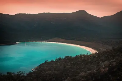
Wineglass Bay
beach
The Hazards
landmark
Honeymoon Bay
landmark
Freycinet National Park
area district
Sleepy Bay
beach
Cape Tourville
landmark
Friendly Beaches
beach
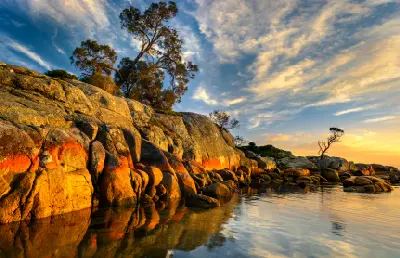
Binalong Bay
landmark
The Gardens
landmark
Bay of Fires & Northeast Coast
area district
Eddystone Point
landmark
Areas in Tasmania
Gallery
Overview
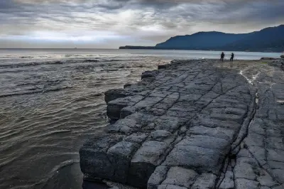
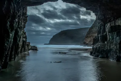
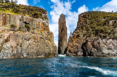
Tasmania is structured around a mountainous central and western interior surrounded by highly varied coastal environments. Glacial erosion has formed steep peaks, alpine plateaus, deep valleys, lakes, and tarns, while high rainfall supports extensive temperate rainforest across the west. The eastern and southern coasts provide a strong contrast, combining granite mountains, sheltered bays, beaches, rocky headlands, and monumental sea cliffs. Rivers, waterfalls, forests, and wetlands connect these environments across the island. The visual character of Tasmania is defined by the relationship between mountains, water, forest, and coast, producing layered compositions across alpine lakes, wilderness valleys, rainforest, beaches, and exposed shorelines.
Key photography subjects
- Alpine peaks across glacial lakes and tarns
- Wild rivers and temperate rainforest
- Granite mountains and sheltered coastal bays
- Boulder-lined beaches and rocky shorelines
- Dolerite cliffs, sea stacks, and exposed headlands
- Waterfalls, forest valleys, and alpine vegetation
- Seasonal weather, mist, snow, and atmospheric light
Workshops in Tasmania
No upcoming workshops scheduled for Tasmania at this time.
Check back soon or explore other destinations.