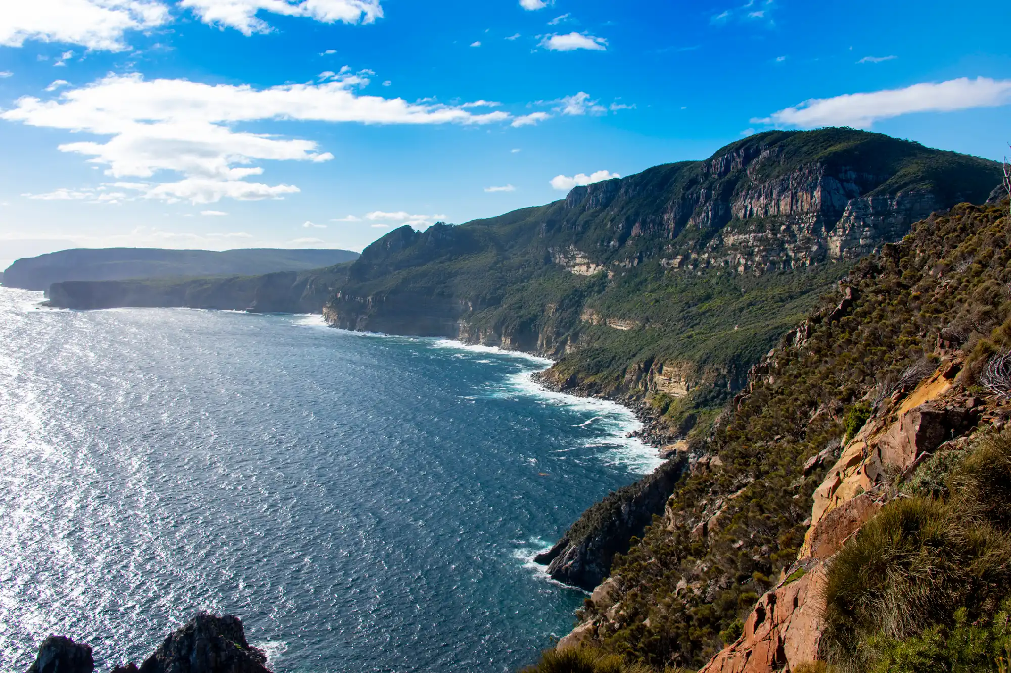
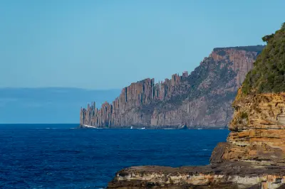
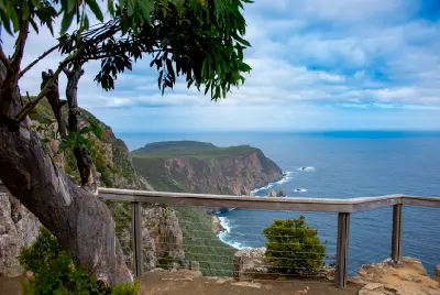
Sweeping sea cliffs curve around the rugged coastline at Cape Raoul on Tasmania’s Tasman Peninsula.
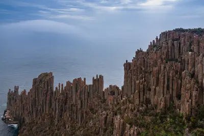
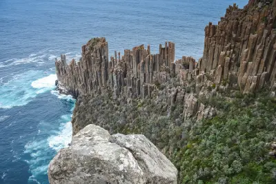
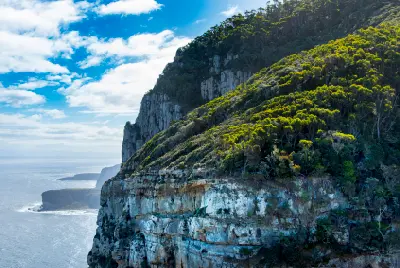
Cape Raoul is a dramatic dolerite headland on the southern Tasman Peninsula, where towering sea cliffs and vertical rock columns rise above the Southern Ocean. The cape forms part of Tasmania's distinctive dolerite coastline, with a narrow ridge extending towards an exposed cliff-bound point. Elevated viewpoints along the walking route reveal immense cliffs, offshore rock formations and open ocean, making it one of the peninsula's strongest wilderness landscapes.
-43.20636, 147.77683
Gallery
Quick Facts
Access
Serious Hike
3+ hours
Elevation Gain
500 m
Best Light
Low-angle light reveals the vertical structure of the dolerite cliffs, while softer conditions retain detail across rock, vegetation and the surrounding ocean.
Why This Light
Season
Seasonally Distinct
Summer provides longer daylight and generally more stable walking conditions. Autumn and spring bring variable weather and atmospheric cloud, while winter can produce strong winds, rough seas and rapidly changing conditions along the exposed cliffs.
Crowds
Usually Quiet
Restrictions
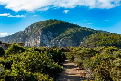
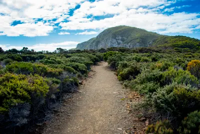
Cape Raoul is reached via a substantial return hike through forest and exposed coastal terrain within Tasman National Park. The route includes sustained climbing and descent before reaching viewpoints around the cape, with steep cliffs and exposed sections requiring care. A valid Tasmania Parks Pass is required.