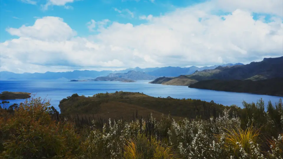
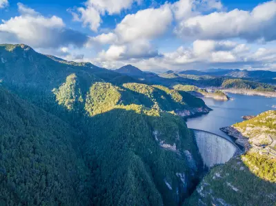
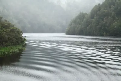
Lake Pedder stretching through the mountain wilderness of southwest Tasmania.
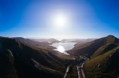
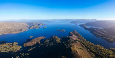
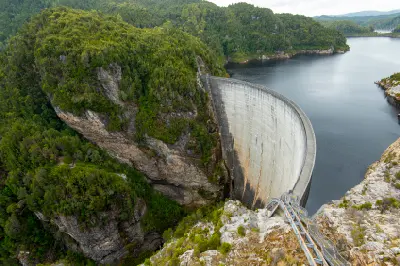
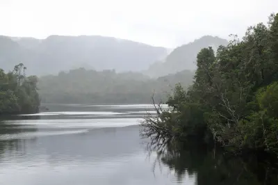
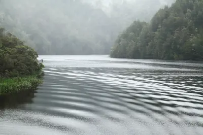
Southwest Wilderness is a vast wilderness system in southern and western Tasmania defined by remote mountain ranges, glacial lakes, wild rivers, temperate rainforest, and extensive button-grass moorlands. Much of the landscape lies within the Tasmanian Wilderness World Heritage Area and remains among the least developed country in Australia. The terrain transitions between the immense waters of Lake Pedder and Lake Gordon, deeply incised river valleys, forested slopes, and rugged mountain ranges extending towards Tasmania's remote southwest coast. The Gordon River connects this inland wilderness with the rainforests and waterways farther west, while Gordon Dam forms a dramatic human intervention within an otherwise sparsely developed landscape. Persistent westerly weather brings rain, mist, low cloud, and rapidly changing light, reinforcing the region's sense of scale, isolation, and elemental wilderness throughout the year.
Gallery
Key POIs in Southwest Wilderness
Nearby Places
View all on mapFrenchmans Cap
landmark — 31.7 km
Tasmania
Franklin-Gordon Wild Rivers National Park
area district — 39.1 km
Tasmania
Donaghys Hill
landmark — 39.4 km
Tasmania
Nelson Falls
water feature — 51.8 km
Tasmania
Tarn Shelf
landmark — 55.9 km
Tasmania
Lake St Clair
water feature — 58.4 km
Tasmania
Lake Dobson
landmark — 58.5 km
Tasmania
Mount Field National Park
area district — 63.1 km
Tasmania
Overview
Southwest Wilderness is structured around an immense network of mountains, lakes, rivers, and moorlands extending across some of Tasmania's most remote country. Glacial erosion shaped broad valleys and mountain basins, while high rainfall supports temperate rainforest and extensive wetlands across lower and more sheltered terrain. Water forms one of the region's strongest geographic elements. Lake Pedder spreads beneath the surrounding ranges, Lake Gordon penetrates deeply into the mountain wilderness, and the Gordon River flows west through increasingly remote forest country. Gordon Dam introduces a monumental engineered form at the edge of this otherwise overwhelmingly natural landscape. The visual structure of the region is defined by large expanses of water enclosed by successive mountain ridges, interrupted by rainforest, open moorland, and rocky high country. Reflections, mist, rain, low cloud, and rapidly shifting light frequently simplify these enormous landscapes into layered compositions of water, mountains, and sky.
Key photography subjects
- Lake Pedder and expansive mountain-backed water
- Lake Gordon, Gordon Dam, and flooded wilderness valleys
- Gordon River and temperate rainforest waterways
- Rugged southwestern mountains and remote ridgelines
- Button-grass plains and open moorland
- Reflections, mist, rain, and low cloud
- Remote wilderness scale and changing western light
Workshops in Southwest Wilderness
No upcoming workshops scheduled for Southwest Wilderness at this time.
Check back soon or explore other destinations.