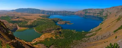
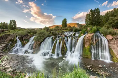
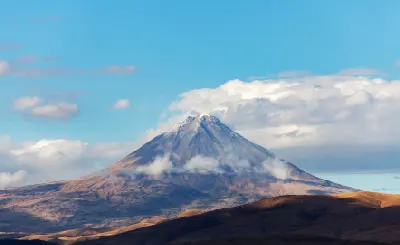
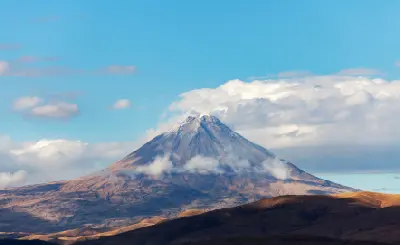
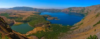
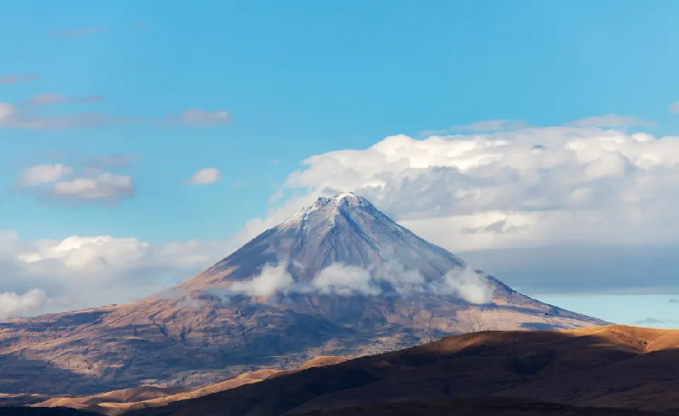
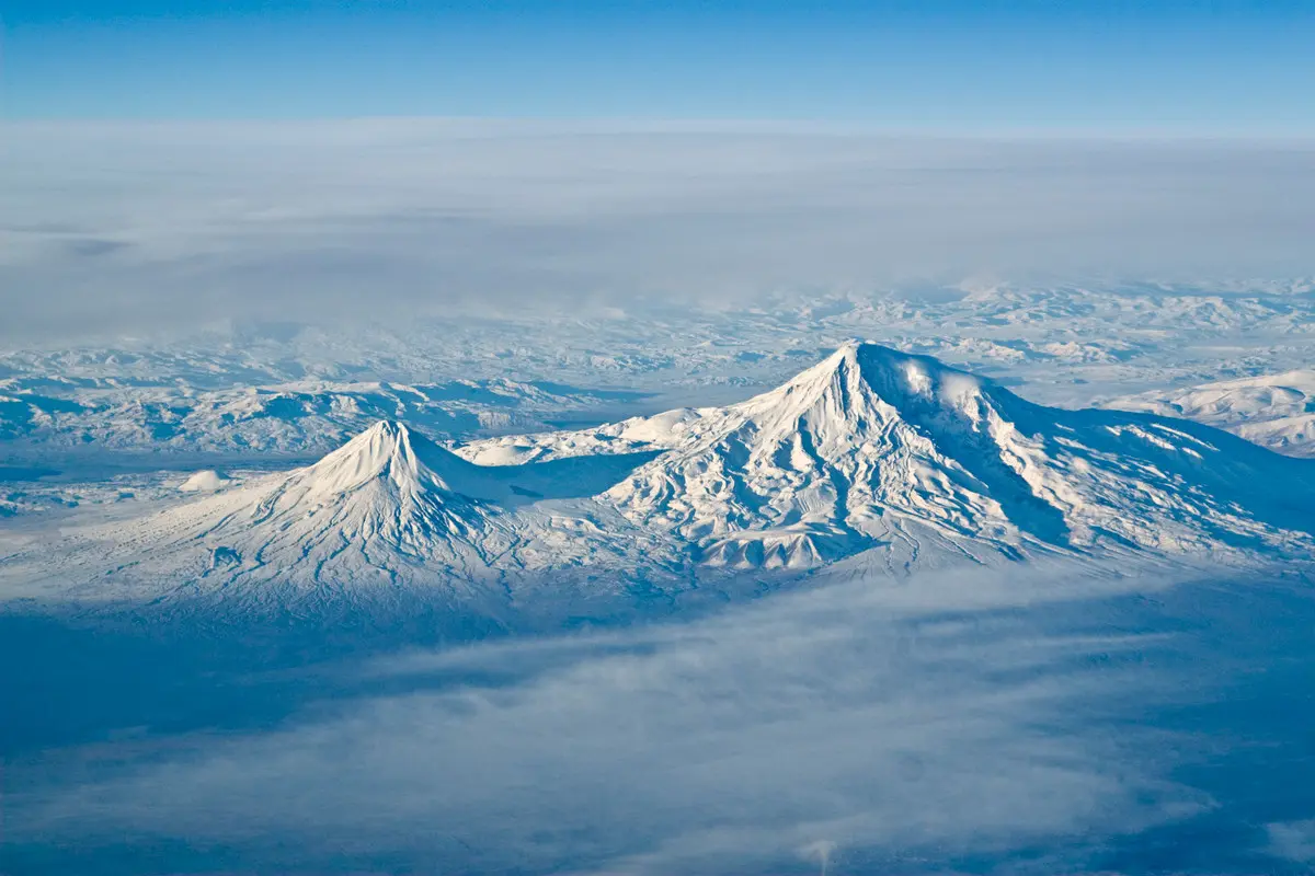
Eastern Anatolia occupies a vast elevated plateau formed by tectonic uplift and volcanic activity, with mountain ranges and isolated volcanoes rising above broad basins and high plains. Mount Ararat, Turkey’s highest summit, dominates the far east with its permanently snow-streaked volcanic cone, while the Lake Van basin is framed by volcanic massifs including Süphan and Nemrut. Rivers, wetlands, lava formations, and high-altitude grasslands add further variety to this immense interior landscape.
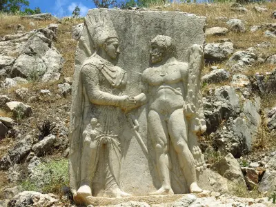
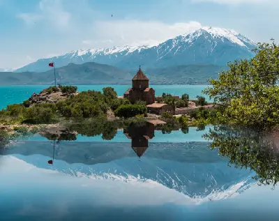
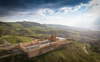
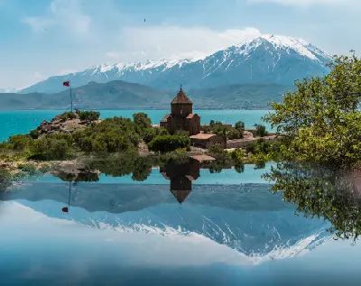
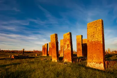
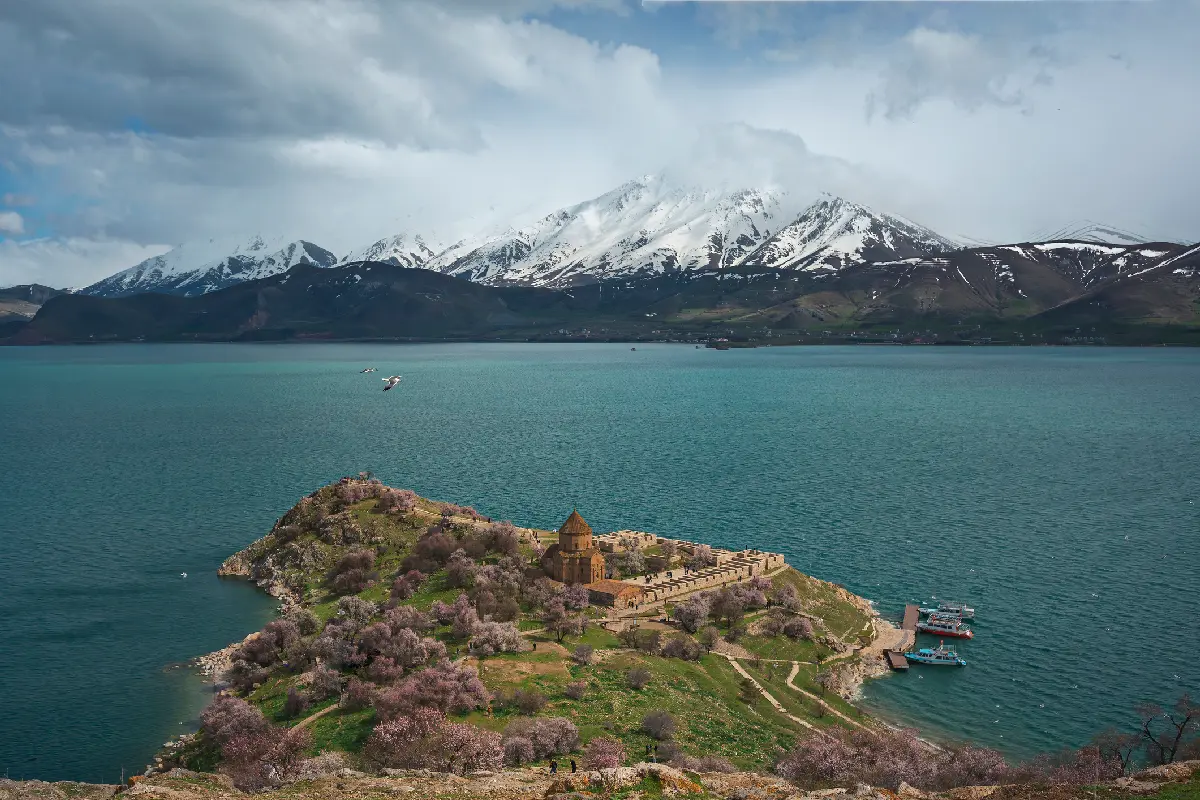
Human settlement has developed around strategic valleys, trade routes, fertile basins, and lake shores for thousands of years. Urartian fortresses, Armenian churches and monasteries, Ottoman monuments, Kurdish villages, and historic towns remain scattered throughout the region. Around Doğubayazıt, the monumental İshak Pasha Palace stands against the barren mountains, while Akdamar Island preserves one of Lake Van’s most significant medieval landmarks.
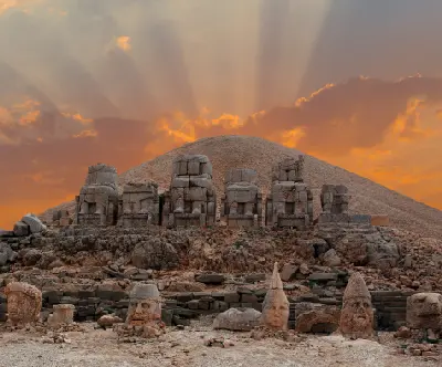
Photographically, Eastern Anatolia is defined by scale, isolation, and the relationship between monumental landscapes and historic structures. Snow-covered volcanoes rise above immense plains, Lake Van provides expansive water-and-mountain compositions, and isolated architecture creates strong focal points within otherwise open terrain. Sunrise and sunset emphasise volcanic relief and mountain layers, while winter snow, spring greenery, storm light, and clear high-altitude conditions continually transform the region.


 01
01