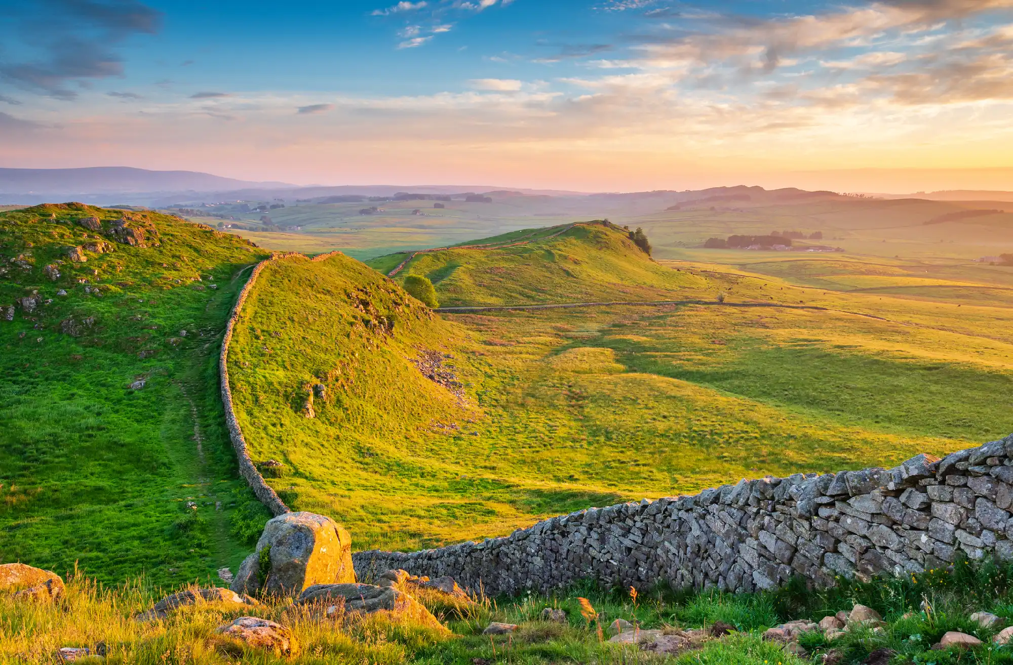
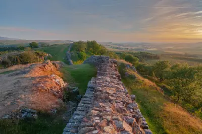
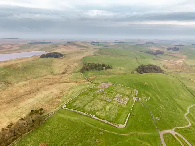
Hadrian’s Wall winds across the rolling ridges of Caw Gap, bathed in golden evening light amid the sweeping countryside of Northumberland National Park, England.
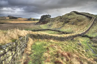
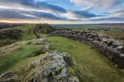
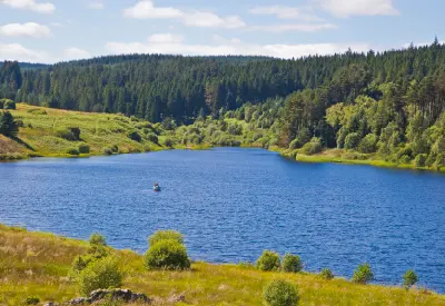
Hadrian’s Wall & Northumberland Interior form an extensive upland landscape in northern England, defined by rugged sandstone and volcanic escarpments, open moorland and the remains of the Roman frontier. The area extends across the Northumberland countryside from the central Wall corridor towards Kielder Forest, where historic structures occupy exposed ridgelines above broad valleys and rolling hills. The terrain transitions between steep rocky crags, grassy uplands, wooded valleys and extensive forest plantations. Hadrian’s Wall follows sections of the Whin Sill escarpment, while reservoirs, rivers and sheltered valleys create contrasting landscapes farther north and west. Seasonal variation influences moorland colour, vegetation and atmospheric clarity, creating changes in upland textures, woodland cover and visibility across the exposed northern countryside.
Gallery
Key POIs in Hadrian’s Wall & Northumberland Interior
Nearby Places
View all on mapUllswater
water feature — 63.2 km
Northern England
Aira Force
water feature — 64.5 km
Northern England
Dunstanburgh Castle
landmark — 68.5 km
Northern England
Embleton Bay
landmark — 68.7 km
Northern England
Castlerigg Stone Circle
landmark — 69.1 km
Northern England
Northumberland Coast
area district — 70.6 km
Northern England
Derwentwater
landmark — 73.1 km
Northern England
Lake District — Central & Eastern Lakes
area district — 73.2 km
Northern England
Overview
Hadrian’s Wall & Northumberland Interior are structured around the central Roman frontier corridor and the surrounding upland landscapes of Northumberland. The Whin Sill, a resistant igneous rock formation, creates prominent escarpments where sections of Hadrian’s Wall follow exposed ridgelines above the surrounding countryside. Across the area, Steel Rigg, Peel Crags and Crag Lough reveal the relationship between ancient stone fortifications and steep natural landforms. Housesteads Roman Fort occupies an elevated position overlooking the frontier landscape, while Kielder Water and the surrounding forest introduce extensive woodland, open water and dark-sky environments farther north. The visual structure of the area is defined by the contrast between linear historic structures and expansive upland terrain. Stone walls follow the contours of rocky ridges, while reservoirs, forested valleys and open moorland create broader compositions influenced by low cloud, directional sunlight and changing northern weather.
Key photography subjects
- Hadrian’s Wall following the Whin Sill escarpment
- Steel Rigg, Peel Crags and rugged upland ridgelines
- Crag Lough and Highshield Crags landscape reflections
- Housesteads Roman Fort and ancient stone structures
- Kielder Water, forest landscapes and reservoir reflections
- Kielder Observatory, dark skies and night photography
- Moorland valleys, seasonal colour and atmospheric northern light
Workshops in Hadrian’s Wall & Northumberland Interior
No upcoming workshops scheduled for Hadrian’s Wall & Northumberland Interior at this time.
Check back soon or explore other destinations.