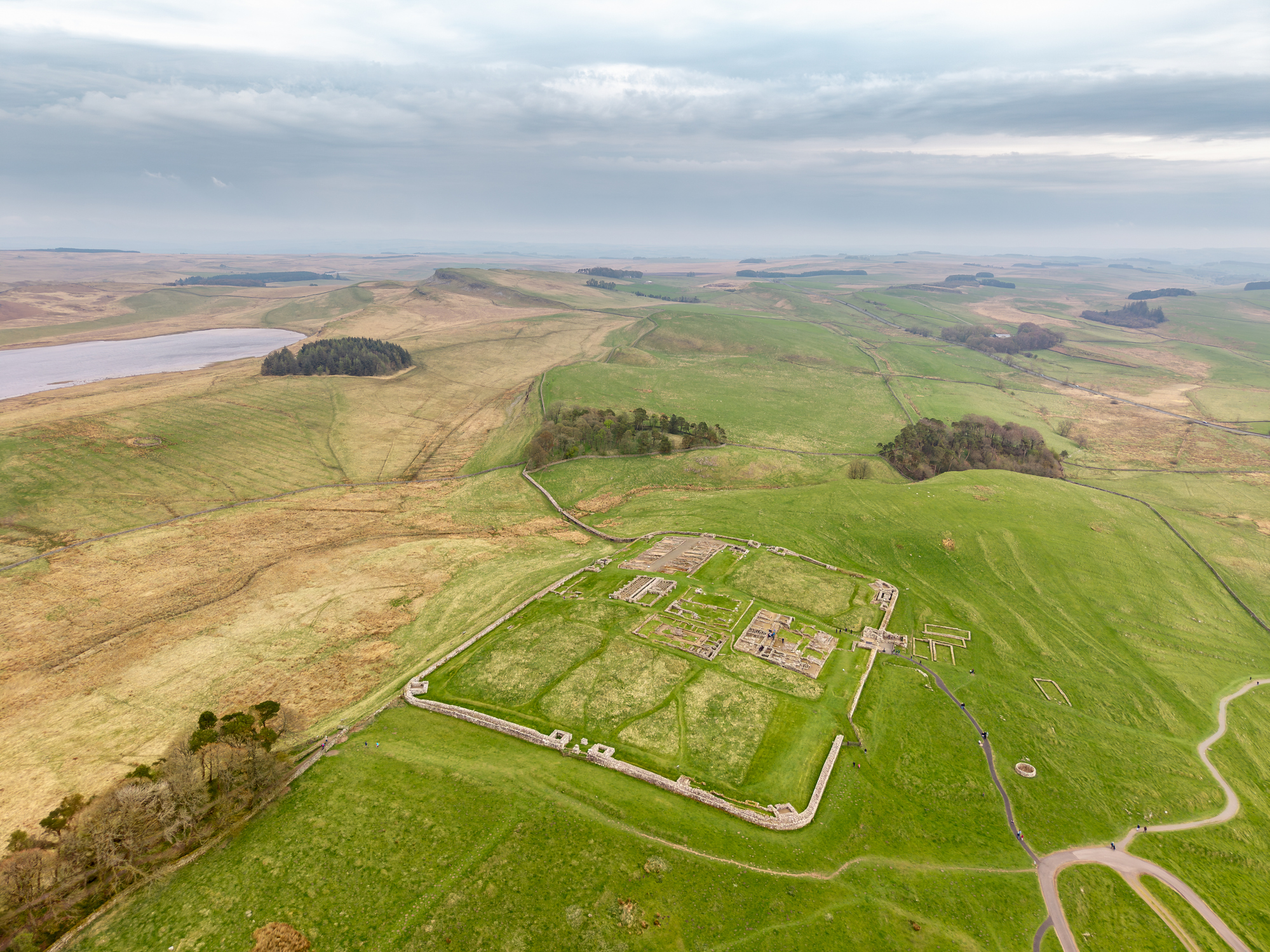
An aerial view reveals the extensive stone foundations of Housesteads Roman Fort, overlooking the rolling hills of Northumberland along Hadrian's Wall in northern England.
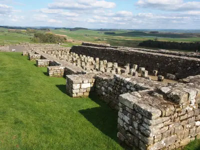
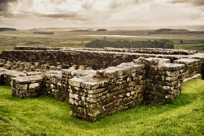
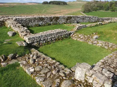
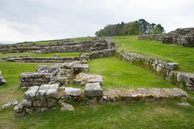
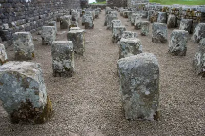
Housesteads Roman Fort is one of the best-preserved Roman forts along Hadrian’s Wall, occupying an elevated position on the Whin Sill escarpment in Northumberland. Its extensive stone foundations reveal the layout of barracks, gateways, granaries and communal buildings, with sections of the Roman Wall extending across the surrounding hills. The exposed setting combines archaeological detail with broad upland views, providing opportunities for heritage, architectural and landscape photography.
55.01322, -2.33023
Gallery


Quick Facts
Access
Moderate Hike
15–45 min
Elevation Gain
90 m
Best Light
Low-angle sunlight reveals the fort's stone foundations and wall contours, while overcast conditions preserve detail across the exposed ruins.
Why This Light
Season
Seasonally Distinct
Summer brings green grassland around the exposed foundations, with longer daylight revealing the fort's layout against the surrounding hills. Winter reveals muted moorland colours, with occasional frost or snow outlining the Roman stonework and the exposed ridgeline.
Crowds
Busy Midday
Restrictions
Housesteads Roman Fort is managed by English Heritage and the National Trust, with admission charges and seasonal opening hours for the archaeological site. The fort is reached by an uphill walk from the visitor parking area, following established paths across open grassland. The approach includes uneven surfaces and a sustained incline, while the ruins contain exposed foundations, stone steps and irregular ground. Weather conditions can change quickly on the ridge. Drone use over the managed site requires permission, and visitors must avoid climbing on historic masonry.