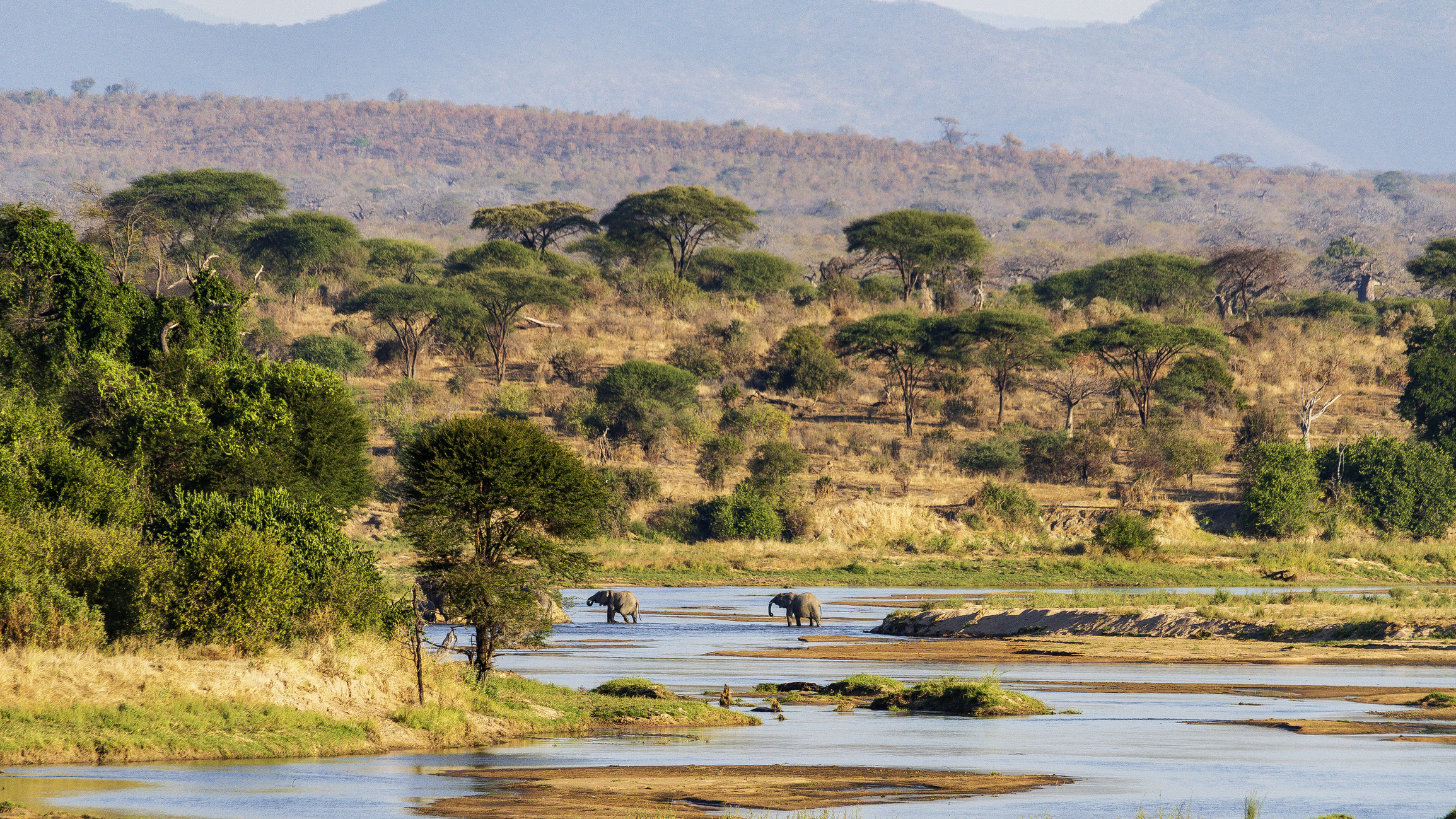
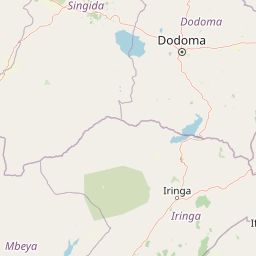
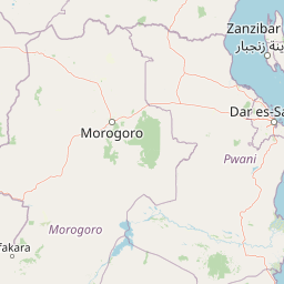
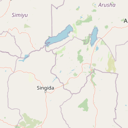
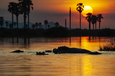
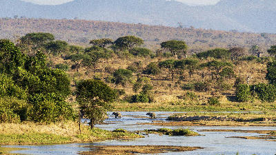
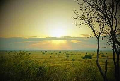
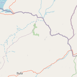
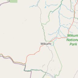
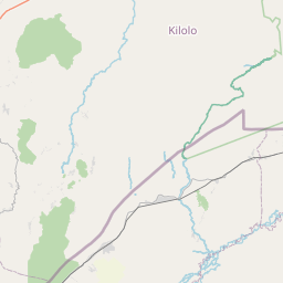
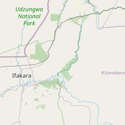
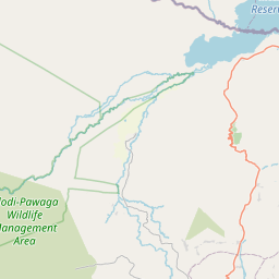
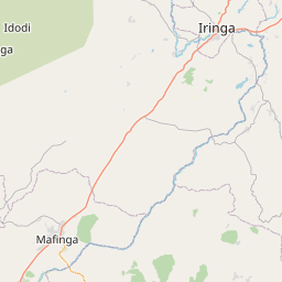
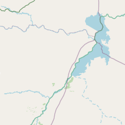
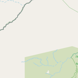
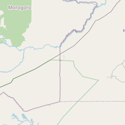
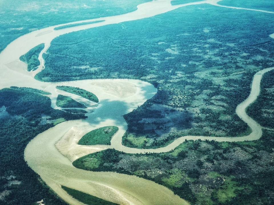
Southern Tanzania is structured around two immense wilderness systems linked by major river catchments and extensive protected landscapes. Nyerere National Park dominates the eastern region through the Rufiji River Basin, while Ruaha National Park anchors the western interior around the Great Ruaha River. Between these landscapes lie vast miombo woodlands, seasonal floodplains and remote conservation areas that collectively form one of Africa's largest continuous wilderness regions.
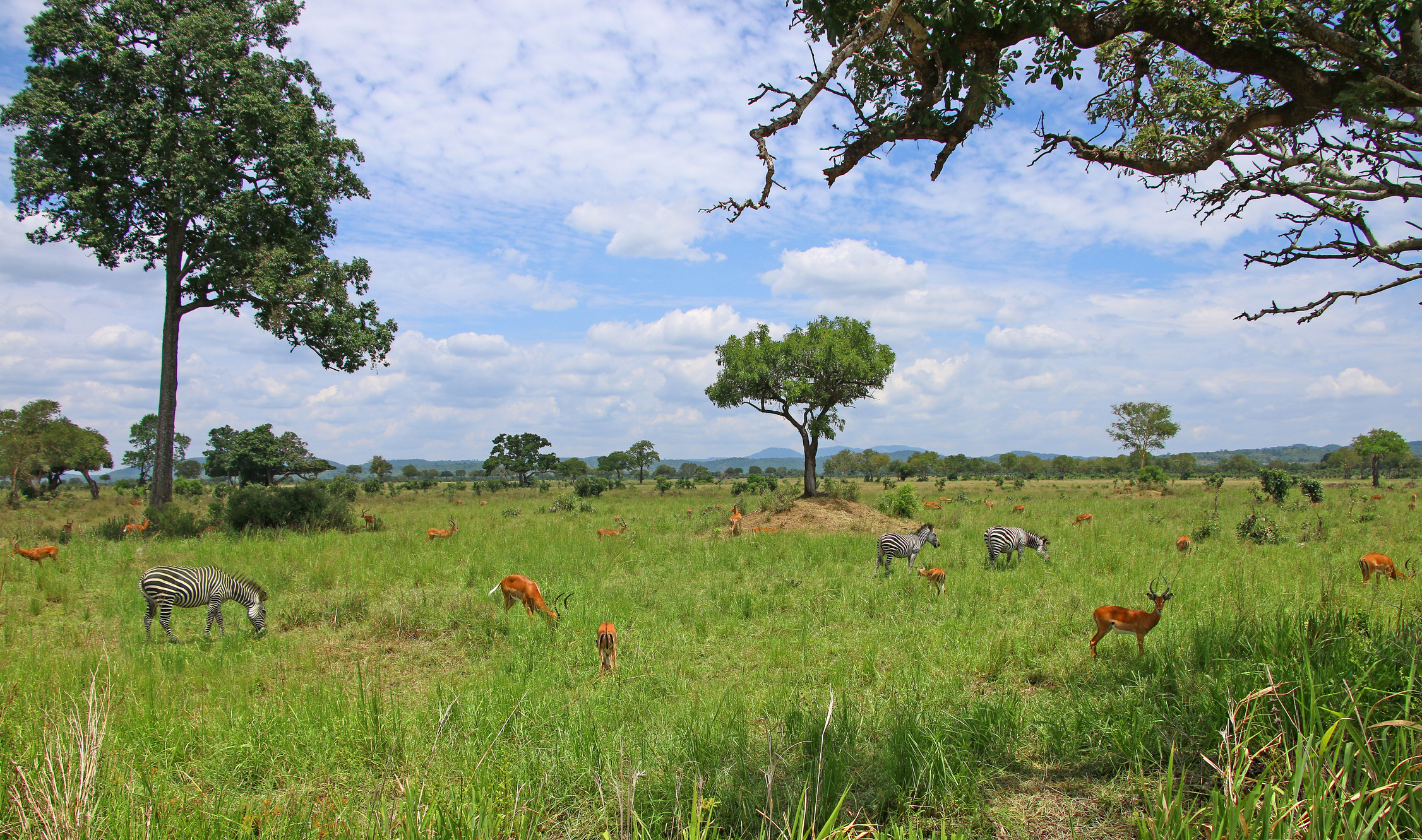
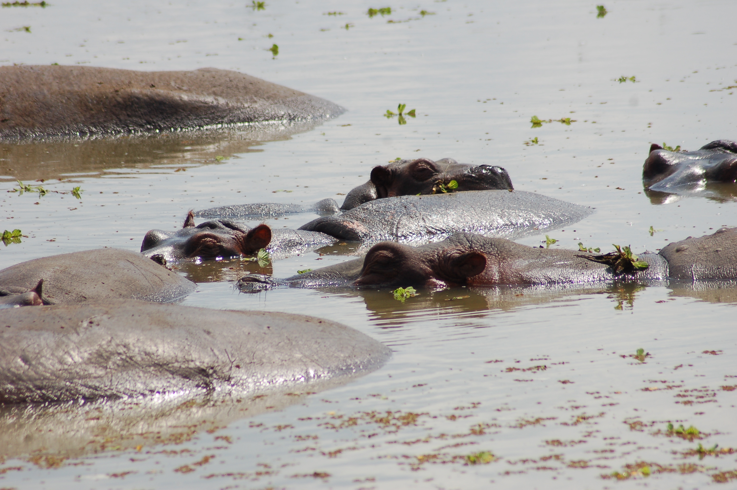
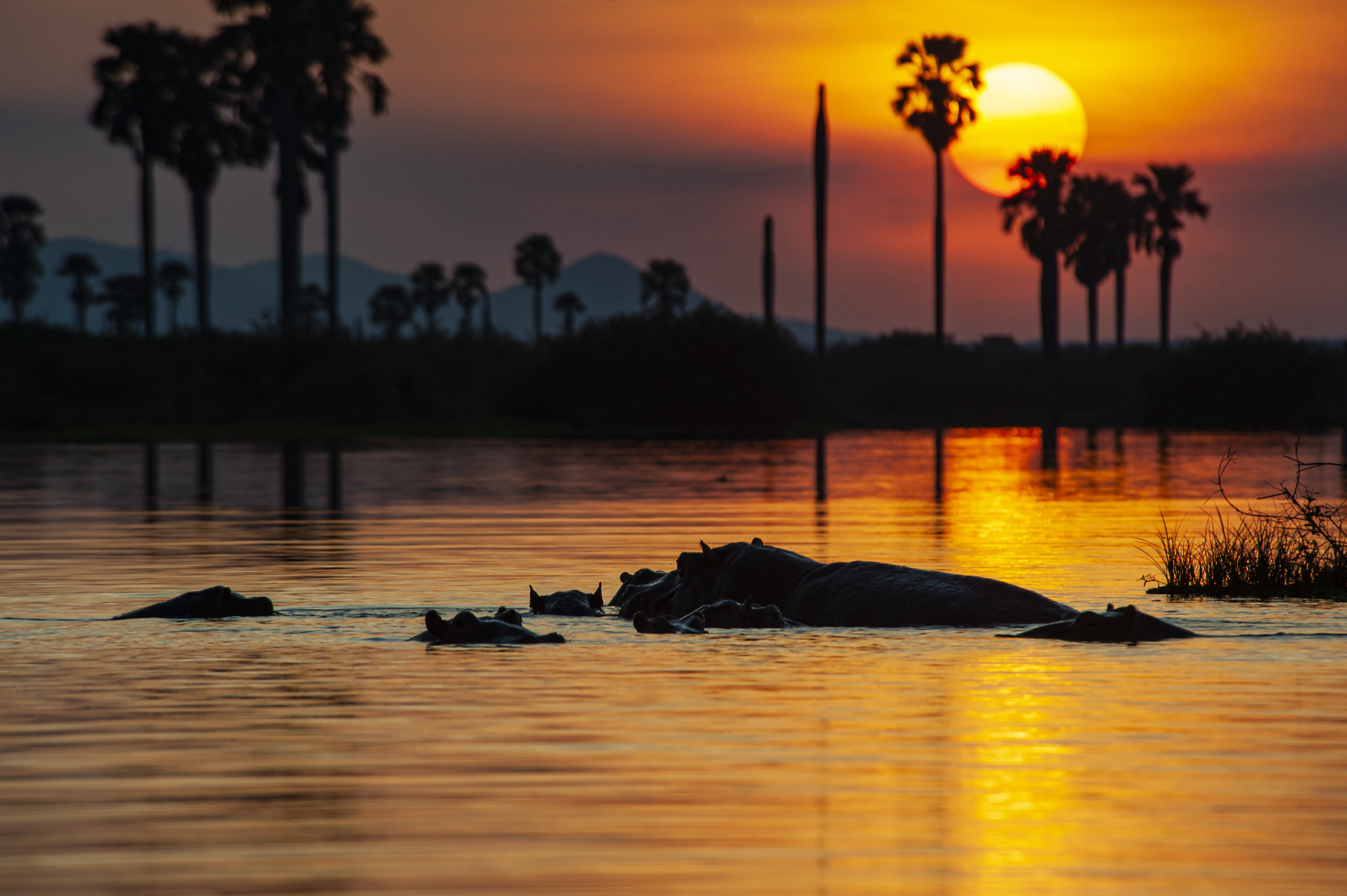
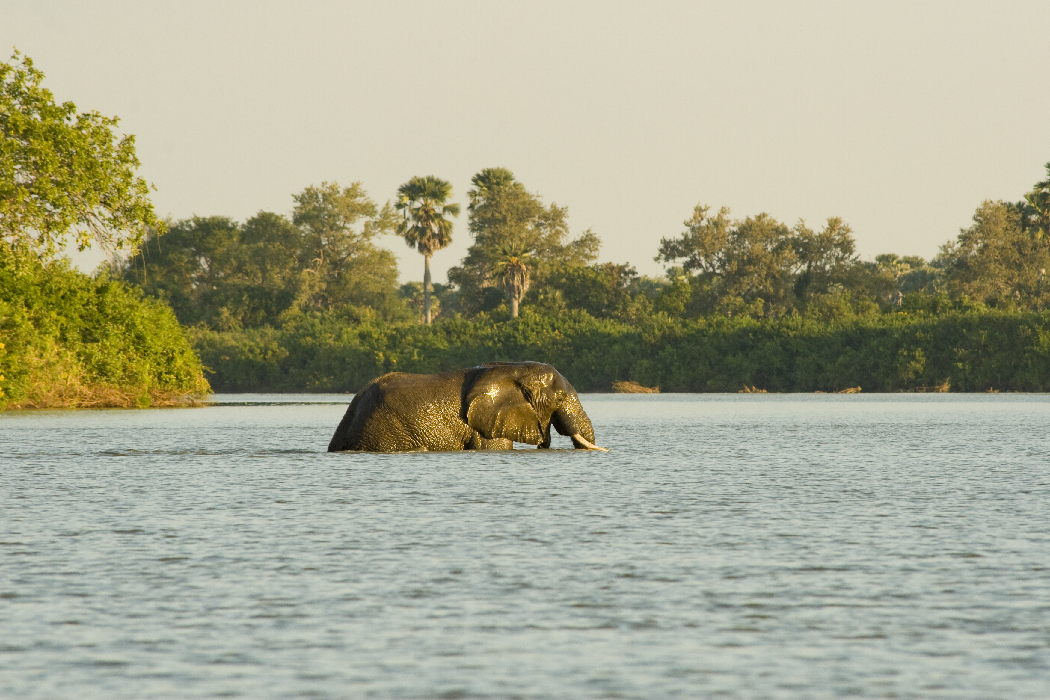
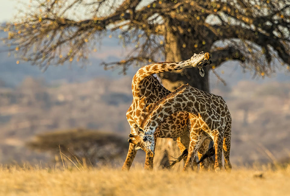
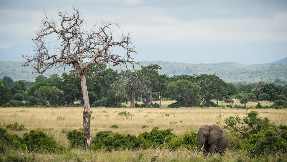
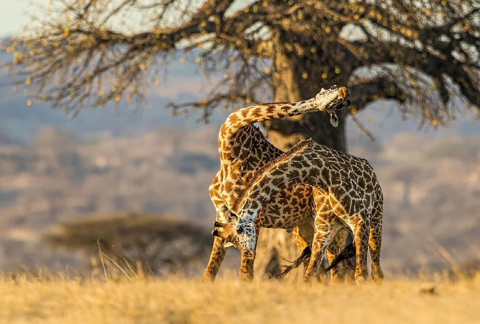
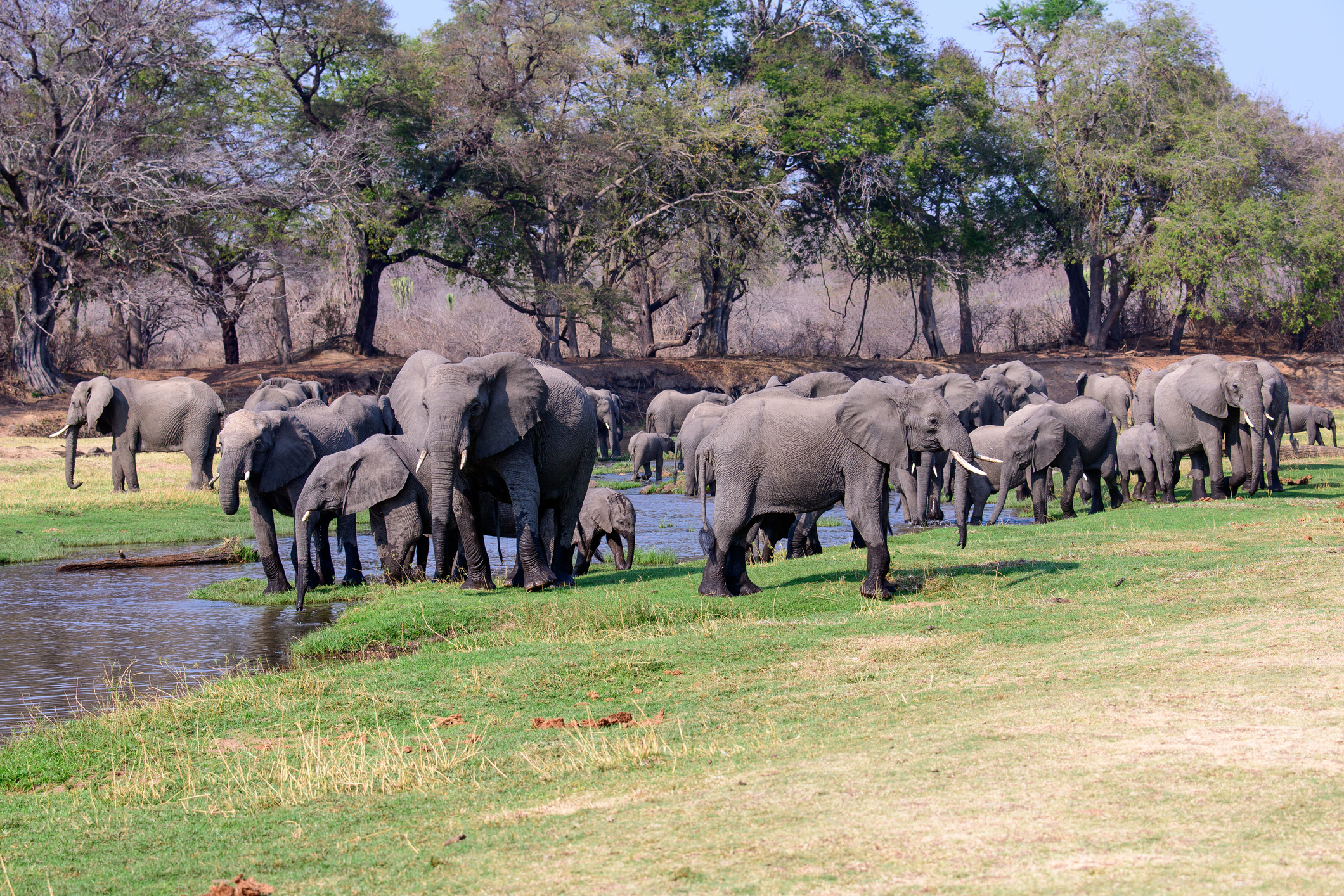
Each landscape possesses a distinct photographic identity. Nyerere is characterised by winding rivers, palm-lined floodplains, oxbow lakes and abundant aquatic wildlife, while Ruaha is renowned for ancient baobab trees, granite kopjes, dramatic river gorges and exceptional predator populations. The surrounding miombo woodland provides a unique habitat found across much of southern Tanzania, contrasting strongly with the open grasslands of the northern safari circuit.
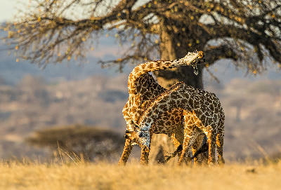
The visual structure of the region is defined by broad river valleys cutting through expansive woodland, isolated rocky hills rising above the surrounding plains and ancient baobabs scattered across semi-arid savannas. Seasonal rivers, dramatic skies, dust, mist and changing vegetation continually reshape the landscape, creating one of East Africa's most authentic wilderness environments.
 01
01