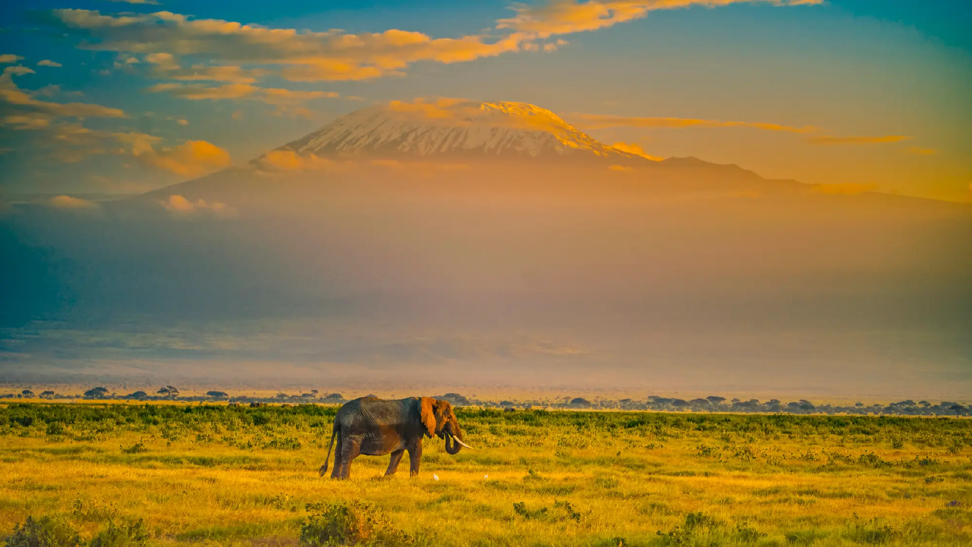
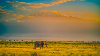
African elephant on the Amboseli plains with snow-capped Mount Kilimanjaro (5,895 m) rising beyond the savanna at sunrise, photographed at approximately 1,150 metres above sea level, Kenya.
Tanzania
Tanzania is one of Africa's most geographically diverse countries, where vast savanna ecosystems, volcanic highlands, ancient rift valleys, tropical coastlines and Africa's highest mountain combine to create an extraordinary range of natural landscapes. Stretching from the shores of Lake Victoria to the Indian Ocean, the country encompasses some of the continent's most iconic wilderness regions, including the Serengeti Ecosystem, Ngorongoro Highlands, Kilimanjaro and the Great Rift Valley. Together these landscapes form one of the world's premier destinations for wildlife, landscape and nature photography.
The country's geography is shaped by powerful geological forces that have created an exceptional variety of environments. The East African Rift System forms dramatic escarpments, volcanic craters and alkaline lakes across northern Tanzania, while Mount Kilimanjaro rises independently above the surrounding plains as Africa's highest peak. Extensive savannas dominate the interior, tropical forests cloak the mountain slopes and fertile volcanic soils support diverse ecosystems that sustain some of the greatest wildlife concentrations on Earth.
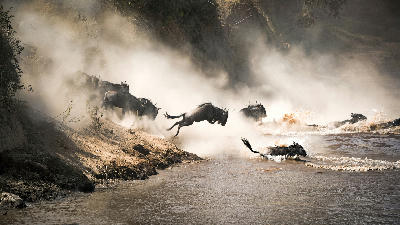
Seasonal variation transforms the landscape throughout the year. Rainfall influences vegetation, river systems and wildlife movements, while the Great Migration continuously reshapes photographic opportunities across the Serengeti Ecosystem. Dry-season conditions generally provide exceptional wildlife viewing and clear atmospheric visibility, while the green season introduces dramatic thunderstorms, lush landscapes, migratory birdlife and vibrant natural colour throughout the country.
Explore Tanzania by Region
Choose a region to discover its landscapes, photographic character, and destinations.
Explore Regions in Tanzania

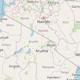


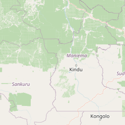

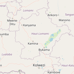




Northern Safari Circuit
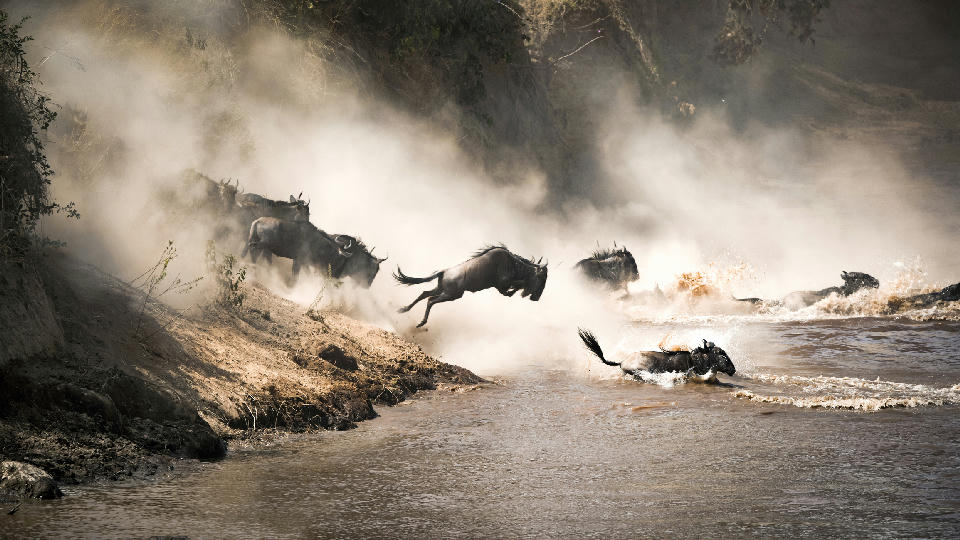
The Northern Safari Circuit is structured around a series of interconnected ecosystems that together form one of Africa's most important wildlife landscapes. The Serengeti Ecosystem occupies the western plains, linked directly to the Ngorongoro Conservation Area, while Tarangire National Park, Lake Manyara and the Great Rift Valley create additional wildlife habitats extending eastward toward Mount Kilimanjaro. Seasonal migration routes, river systems and volcanic soils connect these landscapes into a single ecological network supporting extraordinary biodiversity. Each landscape contributes a distinct photographic identity. The Serengeti is renowned for endless grasslands, predator-prey interactions and the Great Migration, while Ngorongoro is dominated by volcanic craters, forested highlands and wildlife-rich crater floors. Tarangire is characterised by giant baobab trees and immense elephant herds, Lake Manyara by dramatic Rift Valley escarpments and alkaline lakes, and the Kilimanjaro foothills by cultivated landscapes framed by Africa's highest mountain. The visual structure of the region is defined by broad savannas, volcanic mountains and dramatic escarpments rising above open plains. Acacia trees punctuate expansive horizons, seasonal rivers weave through wildlife-rich grasslands and volcanic peaks provide striking backdrops across much of northern Tanzania. Changing weather, wildlife migrations and exceptional equatorial light continually transform the appearance of the landscape throughout the year.
Southern Tanzania
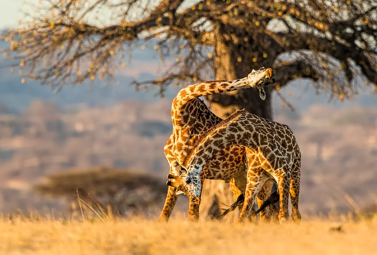
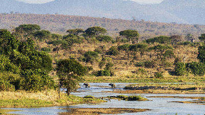
Southern Tanzania is structured around two immense wilderness systems linked by major river catchments and extensive protected landscapes. Nyerere National Park dominates the eastern region through the Rufiji River Basin, while Ruaha National Park anchors the western interior around the Great Ruaha River. Between these landscapes lie vast miombo woodlands, seasonal floodplains and remote conservation areas that collectively form one of Africa's largest continuous wilderness regions. Each landscape possesses a distinct photographic identity. Nyerere is characterised by winding rivers, palm-lined floodplains, oxbow lakes and abundant aquatic wildlife, while Ruaha is renowned for ancient baobab trees, granite kopjes, dramatic river gorges and exceptional predator populations. The surrounding miombo woodland provides a unique habitat found across much of southern Tanzania, contrasting strongly with the open grasslands of the northern safari circuit. The visual structure of the region is defined by broad river valleys cutting through expansive woodland, isolated rocky hills rising above the surrounding plains and ancient baobabs scattered across semi-arid savannas. Seasonal rivers, dramatic skies, dust, mist and changing vegetation continually reshape the landscape, creating one of East Africa's most authentic wilderness environments.
Western Tanzania
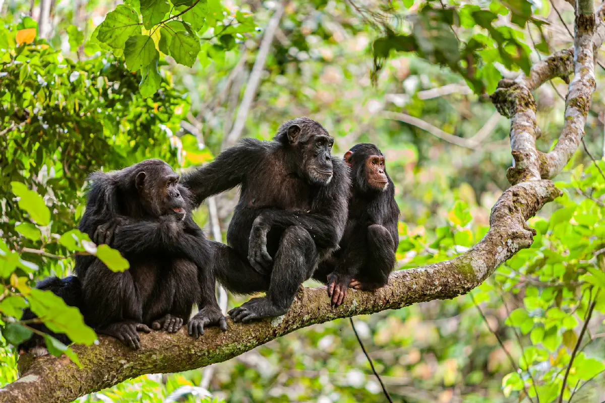
Western Tanzania is structured around three interconnected wilderness systems. Along the eastern shoreline of Lake Tanganyika, Mahale Mountains National Park and Gombe National Park protect isolated mountain forests that are internationally renowned for wild chimpanzee populations. Inland, Katavi National Park preserves one of Africa's greatest untouched savanna ecosystems, while the surrounding miombo woodland extends across vast distances with very limited human development. Together these landscapes form one of East Africa's most intact natural regions. Each landscape possesses a distinct photographic identity. Mahale combines densely forested mountains descending directly into the crystal-clear waters of Lake Tanganyika, while Gombe is characterised by steep valleys, tropical forest and primate habitats. Katavi contrasts dramatically with these environments through expansive floodplains, seasonal wetlands and exceptional concentrations of buffalo, elephants, hippos and predators. The diversity of habitats within a relatively small region makes Western Tanzania one of the country's most varied photographic destinations. The visual structure of the region is defined by the contrast between deep freshwater lakes, forested mountain slopes and open savanna wilderness. Escarpments rise abruptly above Lake Tanganyika, rivers carve through woodland landscapes and broad floodplains provide dramatic open vistas beneath immense African skies. Morning mist, seasonal rainfall and golden evening light continually transform the appearance of this remarkable wilderness.
Zanzibar & Indian Ocean Islands
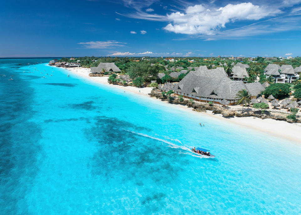
The region is structured around three principal island groups, each offering a distinct landscape and photographic character. Zanzibar (Unguja) combines historic Stone Town, palm-fringed beaches, coral rag forests and vibrant coastal villages. To the north, Pemba Island is characterised by rolling green hills, dense clove plantations and some of East Africa's healthiest coral reefs, while Mafia Island is internationally recognised for its protected marine park, untouched beaches and seasonal whale shark encounters. Together these islands showcase the extraordinary diversity of Tanzania's coastal environments. Each island possesses a unique visual identity. Zanzibar is renowned for its historic architecture, dhow harbours, spice farms and idyllic beaches, while Pemba offers rugged coastlines, secluded coves and lush tropical scenery. Mafia contrasts with quieter fishing communities, extensive coral reefs and pristine marine habitats. Beyond the major islands, smaller coral islets, sandbanks and mangrove-lined channels provide additional opportunities for exploring the region's rich coastal ecosystems. The visual character of the region is defined by brilliant turquoise water, brilliant white coral sand and lush tropical vegetation framed by the ever-changing light of the Indian Ocean. Traditional wooden dhows, historic stone buildings, coral cliffs and swaying coconut palms create timeless coastal scenes, while sunrise over the ocean and colourful sunsets across sheltered lagoons produce exceptional conditions for landscape and seascape photography.
Overview
Tanzania is structured around a series of globally significant natural systems that define both the country's geography and its photographic identity. The Serengeti Ecosystem forms the ecological heart of northern Tanzania, linked to the Ngorongoro Highlands and the Great Rift Valley. To the east, Mount Kilimanjaro dominates the landscape above surrounding plains, while Tarangire, Lake Manyara and the Rift Valley create interconnected wildlife habitats stretching across the northern safari circuit. Together these environments represent one of the world's richest concentrations of biodiversity and geological diversity.
Each region possesses a distinctive photographic character. The Serengeti is renowned for endless grasslands, predator-prey interactions and the Great Migration. Ngorongoro combines volcanic landscapes with wildlife-rich crater floors, while Kilimanjaro rises above cultivated foothills and montane forests. Tarangire is defined by giant baobabs and elephant herds, Lake Manyara by escarpments and alkaline lakes, and the Great Rift Valley by dramatic geological landscapes extending across northern Tanzania.
The visual structure of Tanzania is defined by the contrast between volcanic mountains, expansive savannas and dramatic Rift Valley escarpments. Acacia-dotted plains extend toward distant horizons, ancient volcanoes dominate the skyline and seasonal rivers weave through wildlife-rich ecosystems. Changing rainfall, migrating wildlife, atmospheric storms and exceptional equatorial light continually transform the landscape, creating one of Africa's most visually diverse wilderness environments.
Key Photography Subjects
- The Serengeti plains and the Great Migration
- Wildlife including predators, elephants and large herbivores
- Ngorongoro Crater and volcanic landscapes
- Mount Kilimanjaro and its surrounding foothills
- Baobab trees, acacia savannas and Rift Valley scenery
- Alkaline lakes, wetlands and abundant birdlife
- Dramatic storm skies, golden light and African sunsets
Gallery
Workshops in Tanzania
No upcoming workshops scheduled for Tanzania at this time.
Check back soon or explore other destinations.