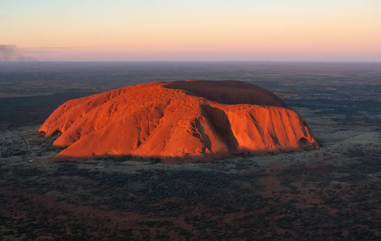
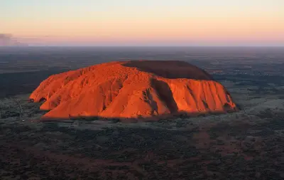
Aerial view of Uluru in the Red Centre, Northern Territory, Australia.
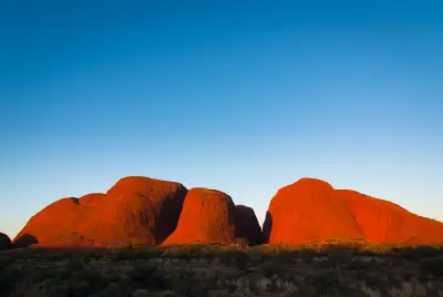
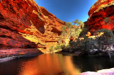
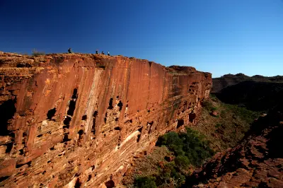
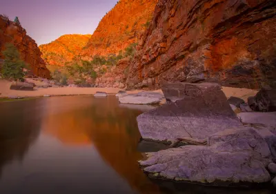
The Red Centre forms the arid heart of Australia, defined by immense desert plains, ancient mountain ranges and isolated sandstone formations rising abruptly from the interior. The region includes Uluru, Kata Tjuta and the MacDonnell Ranges, where some of the continent's most recognisable landforms stand within vast expanses of spinifex, scrub and red earth. The terrain transitions between broad sedimentary basins, rocky ranges, desert dunes and weathered monoliths. Deep gorges cut through the MacDonnell Ranges, while Uluru and the domes of Kata Tjuta create monumental forms above otherwise low and expansive desert landscapes. Seasonal rainfall, extreme temperatures and clear desert air influence vegetation, atmospheric clarity and colour, producing landscapes that can shift rapidly between dry ochre tones, temporary greenery and intensely saturated rock under low-angle light.
Structured Map of Red Centre
A connected view of the landscape, organised by regions, areas, and key locations.






Valley of the Winds
landmark
Kata Tjuta
landmark
Uluru & Kata Tjuta
area district
Mutitjulu Waterhole
landmark
Uluru
landmark
Kings Canyon
area district
Kings Canyon Rim Walk
landmark
Glen Helen Gorge
landmark
Ormiston Gorge
landmark
Ellery Creek Big Hole
landmark
West MacDonnell Ranges
area district
Standley Chasm
landmark
Simpsons Gap
landmark
Areas in Red Centre
Gallery
Overview
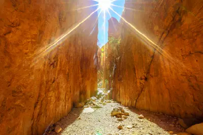
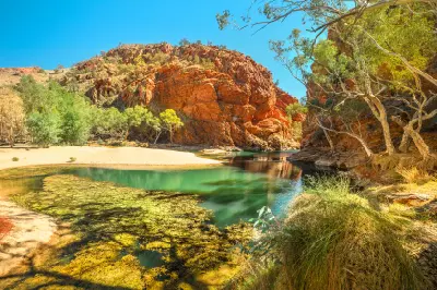
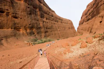
The Red Centre is shaped by some of Australia's oldest exposed geological systems, where prolonged erosion has reduced ancient mountain chains into isolated ranges, residual rock formations and enormous desert plains. Uluru and Kata Tjuta dominate the southern landscape, while the MacDonnell Ranges extend east and west of Alice Springs as parallel ridges broken by narrow gaps and deeply incised gorges. Across the region, sandstone, conglomerate and other resistant rocks contrast with surrounding plains of red sand, spinifex and sparse desert vegetation. Waterholes and sheltered gorges introduce small but important concentrations of vegetation, while dunes and open plains emphasise the immense horizontal scale of the interior. The visual structure of the region is defined by the contrast between monumental landforms and surrounding emptiness. Low-angle sunlight reveals rock texture and intensifies red and orange tones, while clear horizons, sparse vegetation and rapidly changing desert weather create strong variations in colour, shadow and atmospheric depth.
Key photography subjects
- Uluru and monumental desert rock formations
- Kata Tjuta domes and surrounding desert plains
- MacDonnell Ranges, ridges and rocky escarpments
- Desert gorges, waterholes and sheltered vegetation
- Red dunes, spinifex and expansive arid landscapes
- Geological textures, erosion and ancient rock formations
- Sunrise, sunset and low-angle desert light
Workshops in Red Centre
No upcoming workshops scheduled for Red Centre at this time.
Check back soon or explore other destinations.