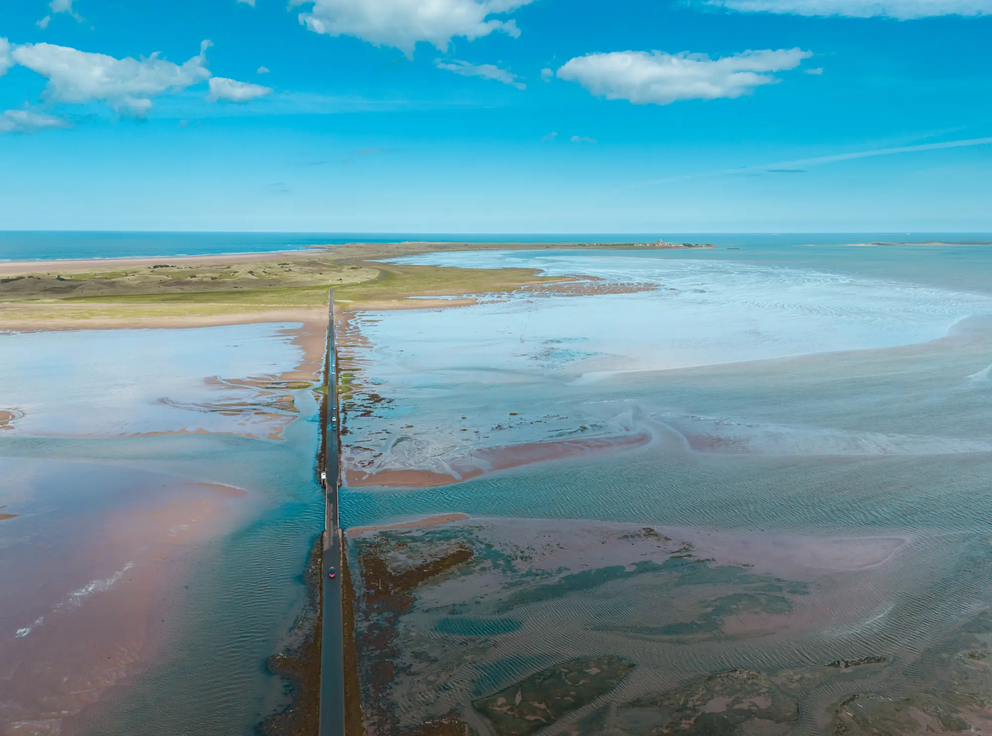
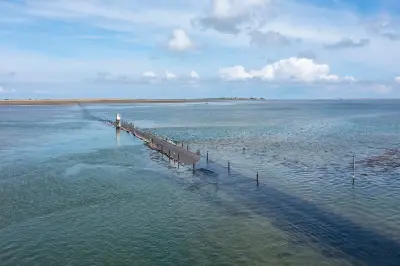
An aerial view of the Holy Island Causeway crossing expansive tidal flats towards Lindisfarne, with shallow waters, exposed sandbanks and the North Sea beyond.
Holy Island Causeway is a tidal road connecting the Northumberland mainland to Lindisfarne, crossing an extensive area of sandbanks, mudflats and shallow coastal waters. The road is accessible only during designated safe crossing periods, disappearing beneath the sea as the tide rises. Its isolated route, distinctive wooden refuge towers and expansive tidal landscape provide opportunities for coastal, minimalist and aerial photography.
55.67853, -1.87036
Gallery




Quick Facts
Access
Roadside / Step-out
0–5 min
Elevation Gain
0 m
Best Light
Low-angle sunlight creates reflections across wet sand and shallow water, while the causeway and refuge towers form silhouettes against the open coastal horizon
Why This Light
Season
Seasonally Distinct
Summer brings longer daylight, increased visitor traffic and broad expanses of exposed sand and shallow water during low tide. Winter brings lower sun angles, muted coastal colours and occasional frost, with changing weather and tidal conditions altering the appearance of the surrounding flats.
Crowds
Busy Midday
Restrictions
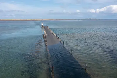
The causeway is submerged at high tide and must only be crossed during the officially published safe crossing times. These times change daily and should be checked through Northumberland County Council before travelling. Never attempt to cross outside the designated safe periods, even if the road appears passable. Stopping or walking on the causeway can be dangerous because of rapidly rising tides, soft mud and limited escape routes. Use designated safe stopping areas and established viewpoints rather than parking on the tidal road. The historic Pilgrims' Way walking route across the sands is separate and requires careful tidal planning.