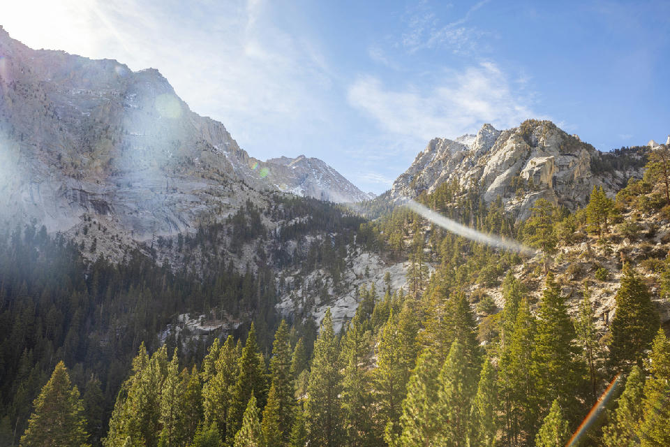
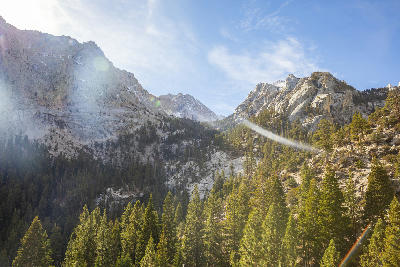
Autumn light illuminates the granite slopes of Mount Whitney above pine forests in the Eastern Sierra Nevada, California.
The Eastern Sierra Nevada is a steep transitional landscape along the eastern edge of California’s Sierra Nevada range, defined by abrupt elevation change, exposed granite peaks, and open high-desert basins. The region forms a sharp boundary between the alpine Sierra crest and the Owens Valley below, where terrain shifts rapidly from low desert to high mountain environments. Its spatial identity is defined by contrast across elevation. The terrain transitions between valley floors, alluvial plains, glacial basins, alpine lakes, and exposed ridgelines. Elevation rises sharply from the eastern base of the range toward the crest, with minimal gradual transition compared to western Sierra landscapes. Seasonal conditions influence snow cover, water levels, and atmospheric clarity. Light interacts strongly with east-facing slopes, creating pronounced contrast between illuminated peaks and shadowed valley systems.
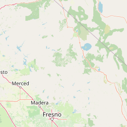
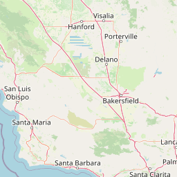
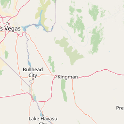
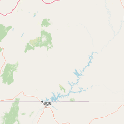
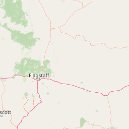
Structured Map of Eastern Sierra Nevada
A connected view of the landscape, organised by regions, areas, and key locations.


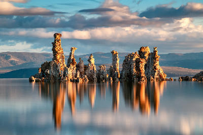
Mono Lake
water feature
Mono Basin
area district
South Tufa
landmark
Thousand Island Lake
water feature
Ansel Adams Wilderness
area district
Ediza Lake
water feature
Horseshoe Lake
water feature
Lake Mary
water feature
Mammoth Lakes Basin
area district
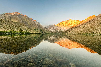
Convict Lake
water feature
North Lake
water feature
Bishop Creek Canyon
area district
South Lake
water feature
Owens Valley
area district
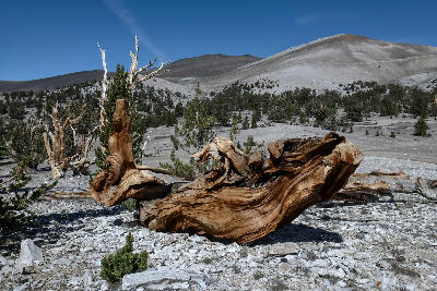
Ancient Bristlecone Pine Forest
area district
Methuselah Grove
landmark
Mount Whitney
landmark
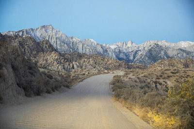
Alabama Hills & Mount Whitney
area district
Mobius Arch
landmark
Alabama Hills
landmark
Areas in Eastern Sierra Nevada
Gallery
Overview
The Eastern Sierra Nevada is structured as a linear mountain front where elevation increases rapidly across a short horizontal distance. Geological uplift and glacial processes have shaped steep escarpments, high-altitude basins, and exposed granite terrain. Unlike Yosemite’s enclosed valley or alpine systems with continuous terrain, this region operates as a boundary landscape. Visual transitions occur between desert basins and alpine peaks, often within a single frame. The visual structure is defined by vertical transition and separation. Foreground elements often sit within open valley terrain, while background peaks rise sharply, creating compositions built on elevation contrast and spatial layering.
Key photography subjects
- Steep mountain escarpments rising from desert basins
- Alpine lakes set beneath exposed granite peaks
- Open valley foregrounds leading to high ridgelines
- Glacial basins and cirques within elevated terrain
- High-altitude passes crossing mountain crest lines
- East-facing slopes with strong light-shadow contrast
- Layered compositions from valley floor to alpine peaks
Workshops in Eastern Sierra Nevada
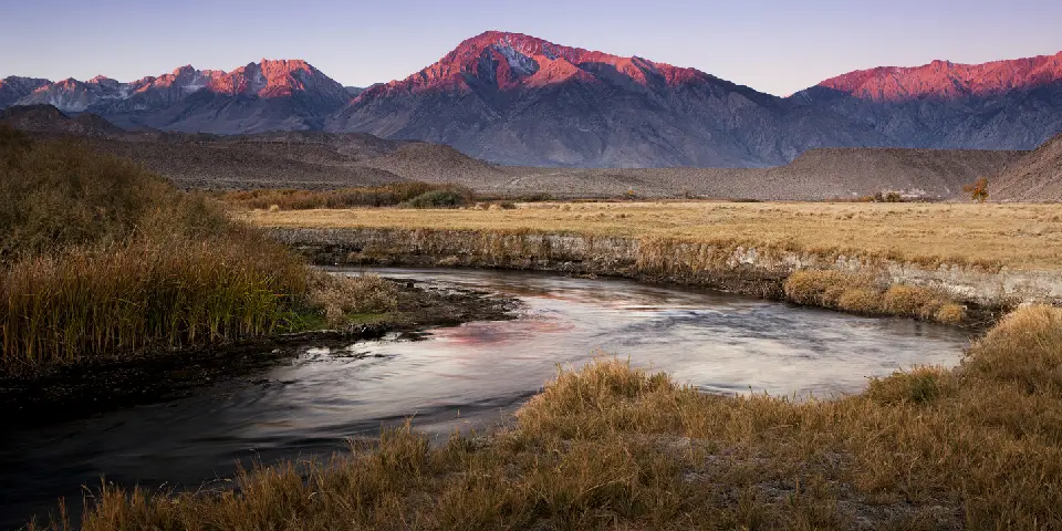
Autumn in Eastern Sierra

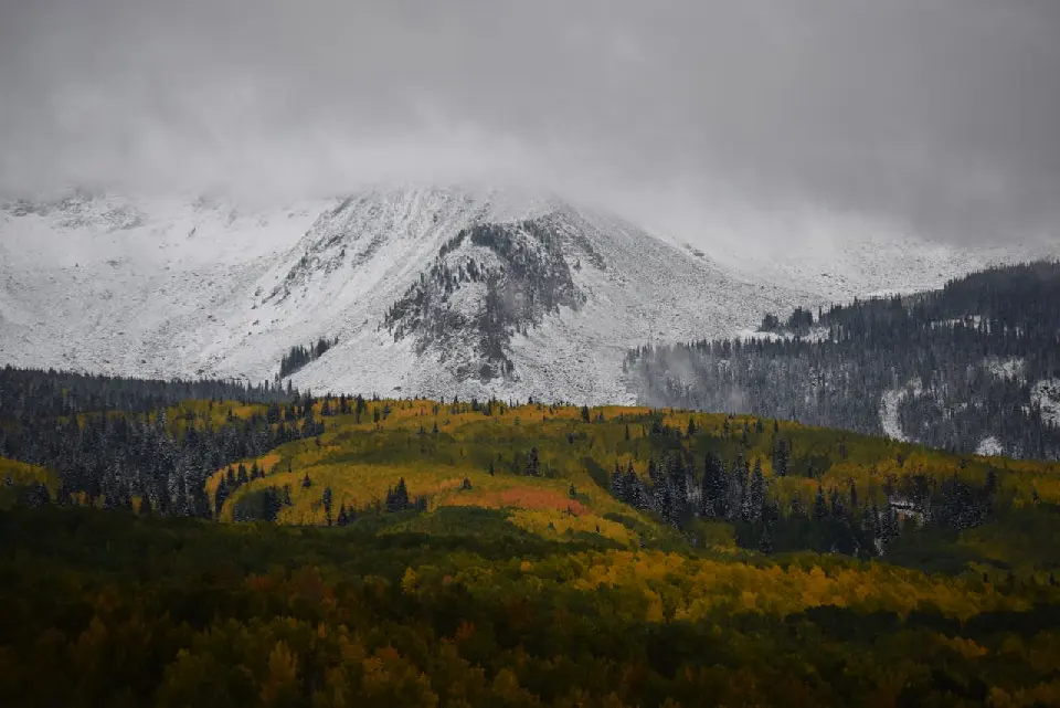
Colorado Fall Color Photography Art Retreat

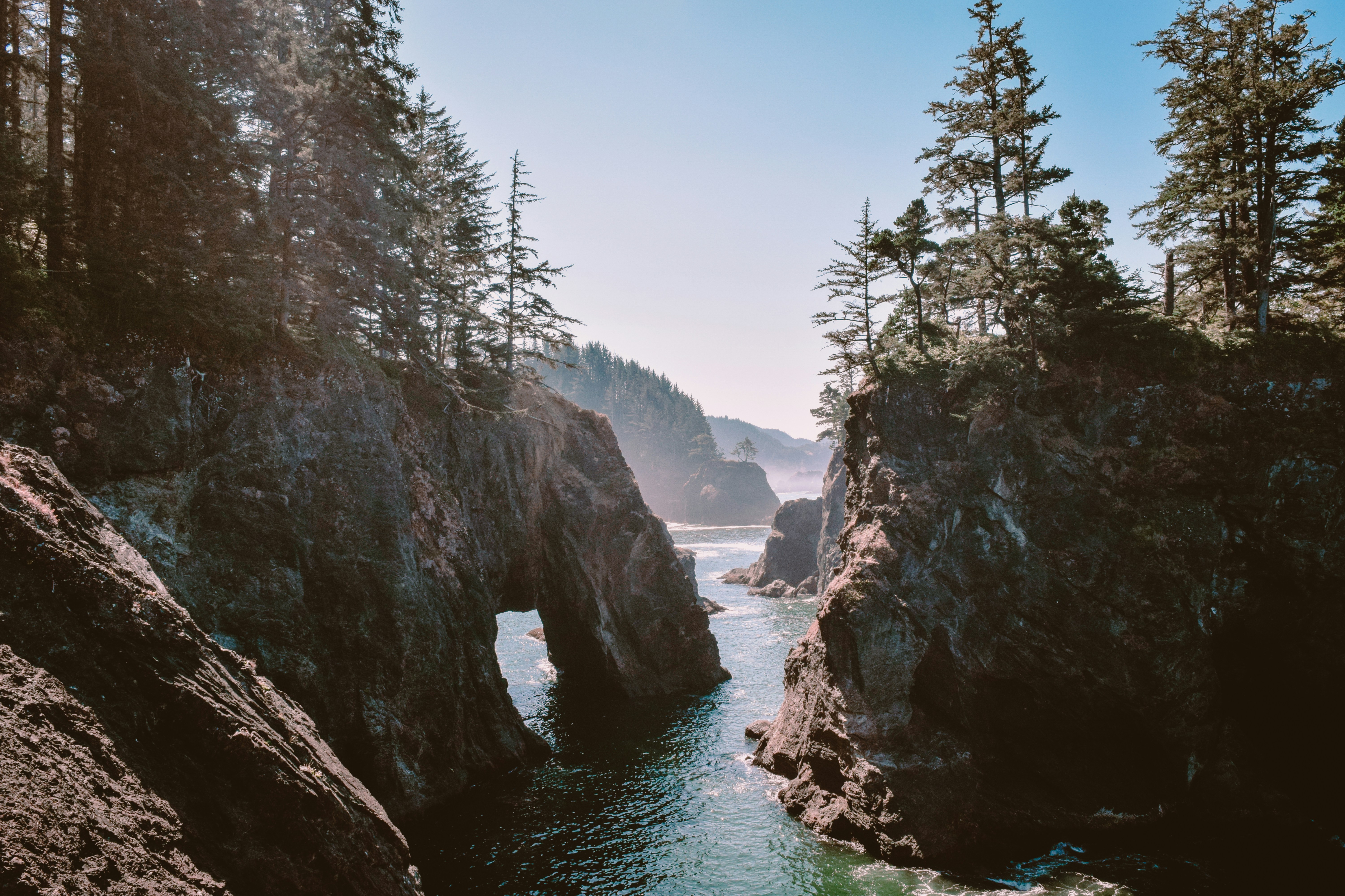
Oregon Coast Adventure Photography Workshop
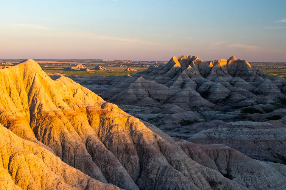
Autumn in Utah Badlands