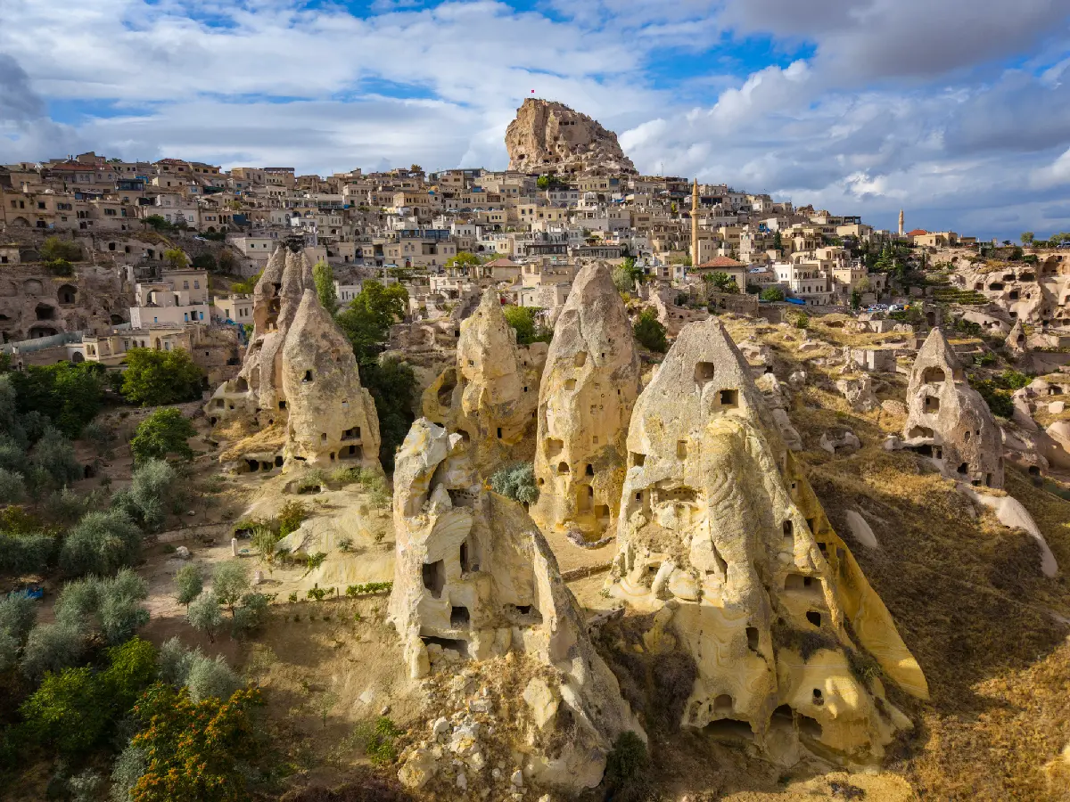
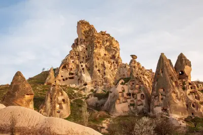
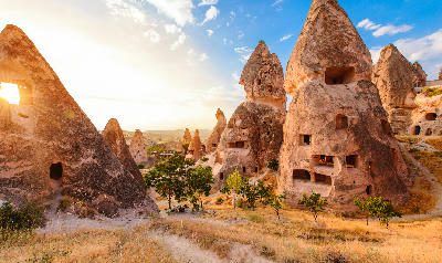
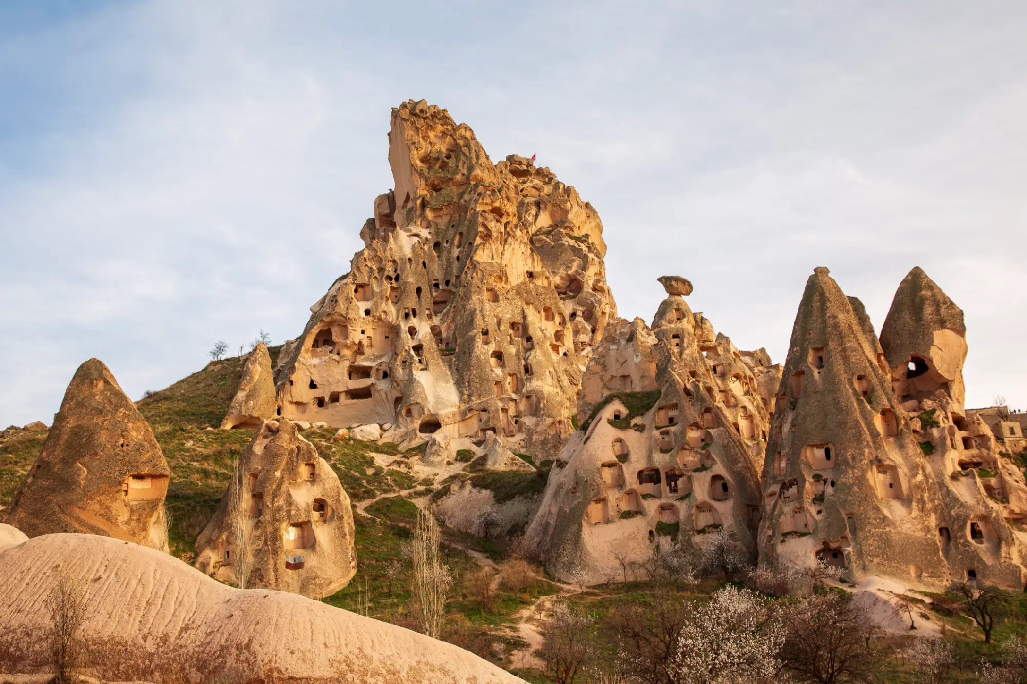
Uçhisar Castle surrounded by tall fairy chimneys and rock-cut cave dwellings in Cappadocia, Turkey.

    Uçhisar Castle rises above surrounding fairy chimneys and rock-cut dwellings in the dramatic volcanic landscape of Cappadocia, Turkey.

    Cappadocia & Central Anatolia

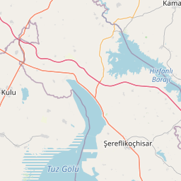
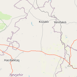
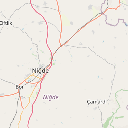
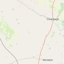
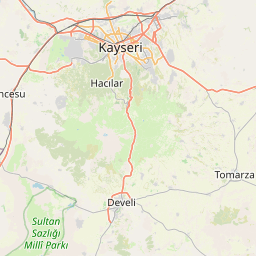
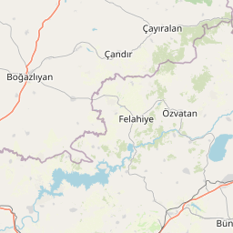
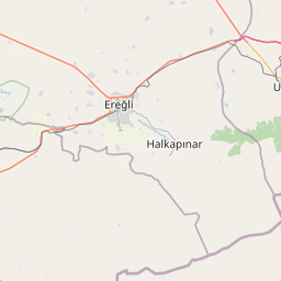
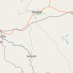
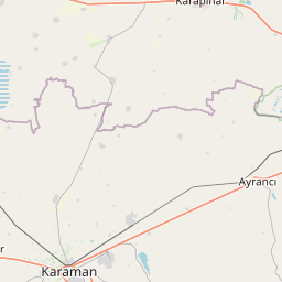
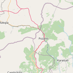
    Cappadocia & Central Anatolia form one of Turkey's most distinctive landscapes, where ancient volcanic eruptions, centuries of erosion and thousands of years of human settlement have created an extraordinary combination of fairy chimneys, sculpted valleys, underground cities, rock-cut churches and vast Anatolian plains. Centred on Cappadocia and extending southwest through the Ihlara Valley to the immense salt flats of Lake Tuz, the region brings together some of Turkey's most recognisable natural and cultural landscapes.

    The region's remarkable geology began with eruptions from ancient volcanoes including Mount Erciyes and Mount Hasan, which covered large areas of Central Anatolia with layers of volcanic ash and lava. Over millions of years, wind and water carved the softer volcanic tuff into pinnacles, cones, cliffs and deeply incised valleys. Human communities subsequently transformed this natural terrain further, excavating homes, monasteries, churches and entire subterranean settlements directly into the rock.

    Seasonal conditions continually change the appearance of the landscape. Winter snow emphasises Cappadocia's sculptural formations, spring brings fresh vegetation to the valleys, summer produces dry golden terrain and clear skies, and autumn adds warmer colour to vineyards and cultivated land. At Lake Tuz, changing water levels can transform the landscape from shallow reflective water to immense white salt flats, while sunrise and sunset bring dramatic colour to both the volcanic valleys and open steppe.

    Geographic discovery

    Explore Cappadocia & Central Anatolia by Area

    Choose a part of Cappadocia & Central Anatolia to discover its landscapes, photographic character, and locations.

    Open interactive Explore

    Explore Areas in Cappadocia & Central Anatolia

    Open in Explore
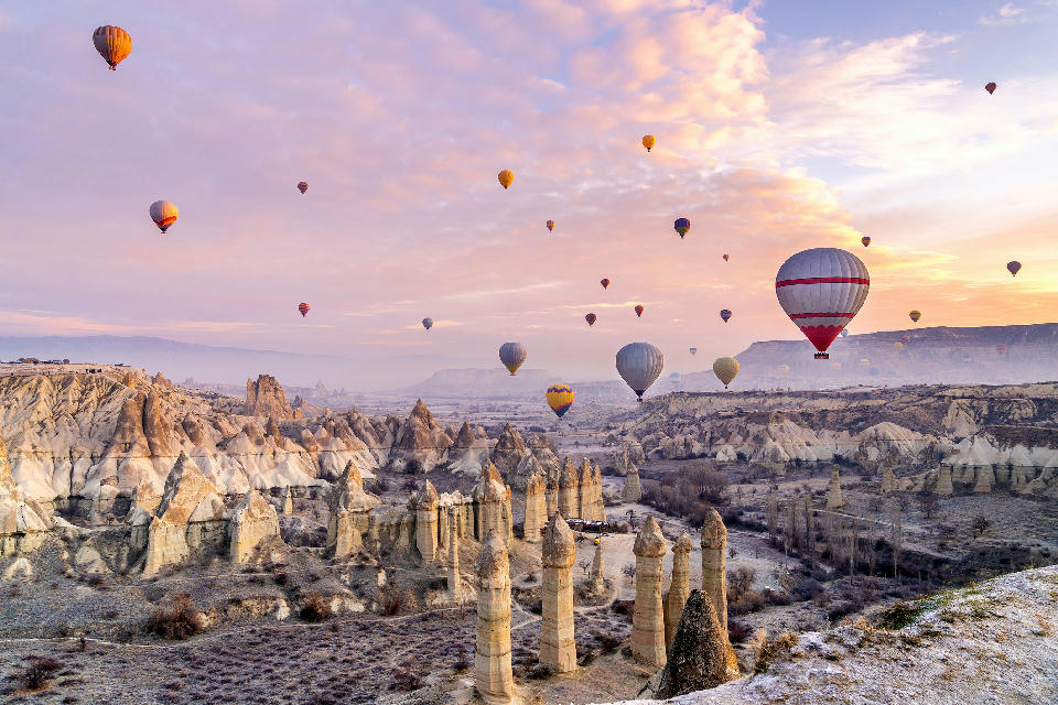
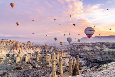
    Hot air balloons drift above the fairy chimneys and volcanic valleys surrounding Göreme at sunrise, Cappadocia, Turkey.

    Göreme

    Göreme occupies a basin within the wider volcanic landscape of central Cappadocia. Erosion of layers of tuff and harder volcanic material has produced an intricate terrain of fairy chimneys, narrow valleys, exposed ridges, and sculpted rock formations. Settlements developed within this terrain rather than simply around it, with buildings and entire interiors carved directly into the rock. The Göreme Open Air Museum preserves one of the area's most important concentrations of rock-cut churches, chapels, monasteries, and Byzantine frescoes. Beyond the museum and town, interconnected valleys extend towards Uçhisar, Çavuşin, and surrounding areas, creating a continuous landscape of geological formations, cave architecture, vineyards, and historic routes. The visual character of Göreme changes dramatically through the day. Sunrise brings hundreds of hot-air balloons above the valleys in suitable conditions, while low-angle light reveals the texture and depth of the volcanic terrain. Elevated viewpoints provide broad panoramas across Cappadocia, while sunset, blue hour, and illuminated cave buildings create a contrasting view of the landscape after dark.

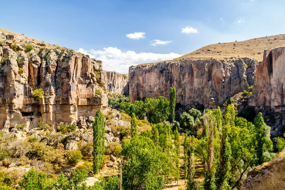
    Rock cliffs and tree-lined valley floor in Ihlara Valley, Cappadocia, Turkey.

    Ihlara Valley

    Ihlara Valley cuts deeply through the volcanic plateau of southern Cappadocia, with sheer rock walls rising above the Melendiz River for much of its length. The river winds through a narrow valley floor lined with poplars and other vegetation, while eroded volcanic cliffs, side valleys, and elevated viewpoints create considerable variation in terrain. Human occupation has profoundly shaped the canyon. Early Christian communities carved numerous churches, chapels, shelters, and dwellings into the rock walls, many containing surviving Byzantine frescoes. Settlements including Belisırma developed beside the river, while Selime Monastery occupies a dramatic rock complex near the northern end of the wider valley system. The visual character of Ihlara changes with elevation and season. From above, viewpoints reveal the deep canyon cutting through an otherwise open plateau; within the valley, compositions become more enclosed, combining flowing water, vegetation, cliffs, rock-cut architecture, and historic settlements.

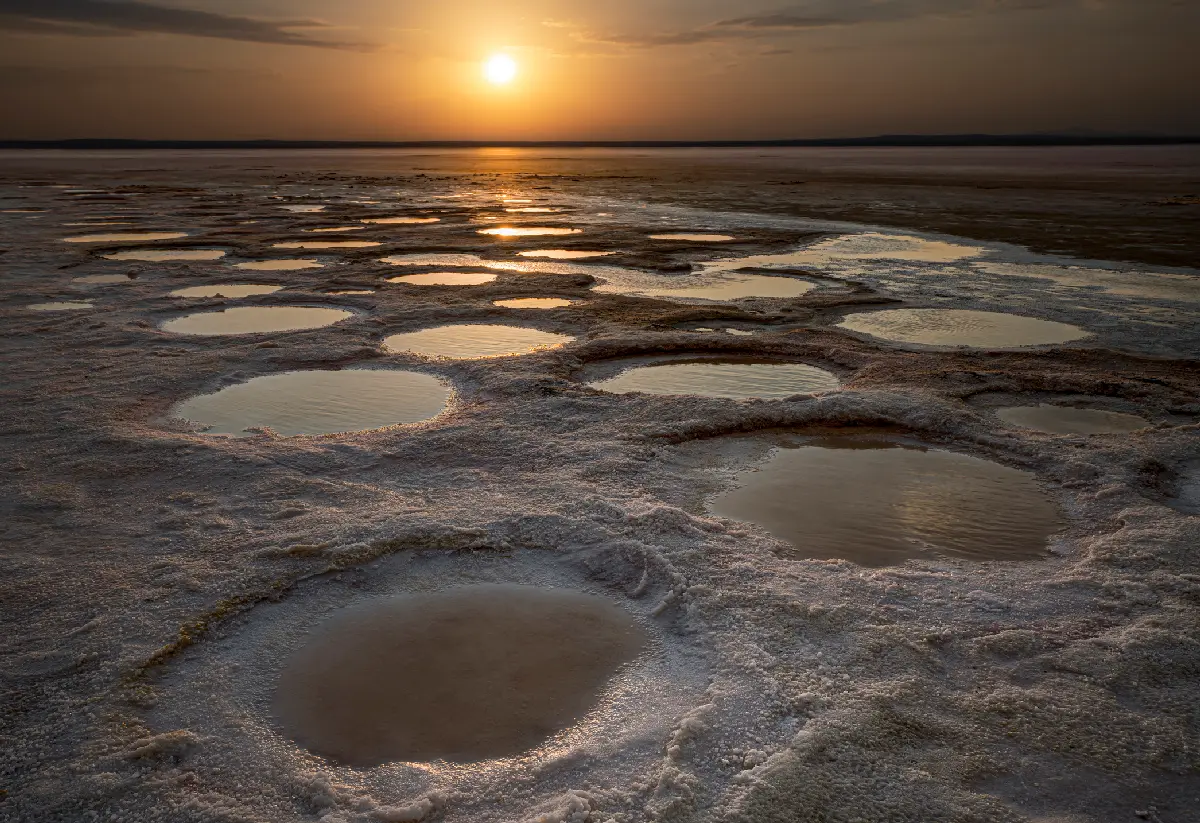
    Sunset reflecting in shallow pools surrounded by white salt formations at Lake Tuz, Turkey.

    Lake Tuz & Salt Steppe

    Lake Tuz occupies a vast, shallow basin within the Central Anatolian plateau. Seasonal inflows spread across the exceptionally flat lakebed before intense evaporation reduces the lake during the dry months, leaving extensive deposits of salt and exposed mineral surfaces. Beyond the lake, open steppe and low relief create an unusually expansive landscape with few visual interruptions. Shallow water, salt crusts, mineral deposits, and seasonal wetlands form distinct environments around the basin, while flamingos and other waterbirds gather where suitable conditions persist. The visual structure of the area is defined by horizontal scale, changing surface conditions, and extreme simplicity. Reflections emerge when shallow water covers the lakebed, while drier periods reveal crystalline textures, geometric salt patterns, and pale expanses that shift in colour with changing light.

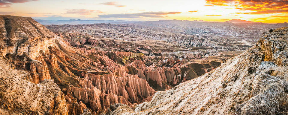
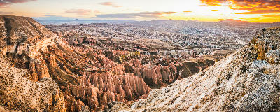
    Panoramic sunset view over Red Valley in Cappadocia, Turkey, featuring colourful volcanic cliffs, deep canyons, fairy chimneys, and layered rock formations stretching across the landscape.

    Love & Red Valleys

    The valleys were formed through prolonged erosion of volcanic deposits laid down across Cappadocia millions of years ago. Wind, water, frost, and temperature changes gradually removed softer material while harder layers remained, producing the pinnacles, cones, ridges, gullies, and exposed rock faces visible today. Differences within the volcanic deposits give individual valleys their characteristic colours and formations. Human occupation added another layer to the landscape. Cave dwellings, storage chambers, monasteries, and rock-cut churches were excavated into the soft volcanic rock, while paths and agricultural terraces developed along the valley floors and slopes. These historic structures remain scattered throughout the valleys and are often encountered along the walking routes connecting Göreme, Uçhisar, and Çavuşin. The area is particularly responsive to changing light. Sunrise can bring hot-air balloons across the valleys, while low morning and evening light emphasises the relief of the fairy chimneys and intensifies the pink, red, and ochre tones of the exposed rock. Elevated ridges provide broad panoramas, while trails through the valleys offer more intimate compositions of rock formations, caves, vegetation, and layered terrain.

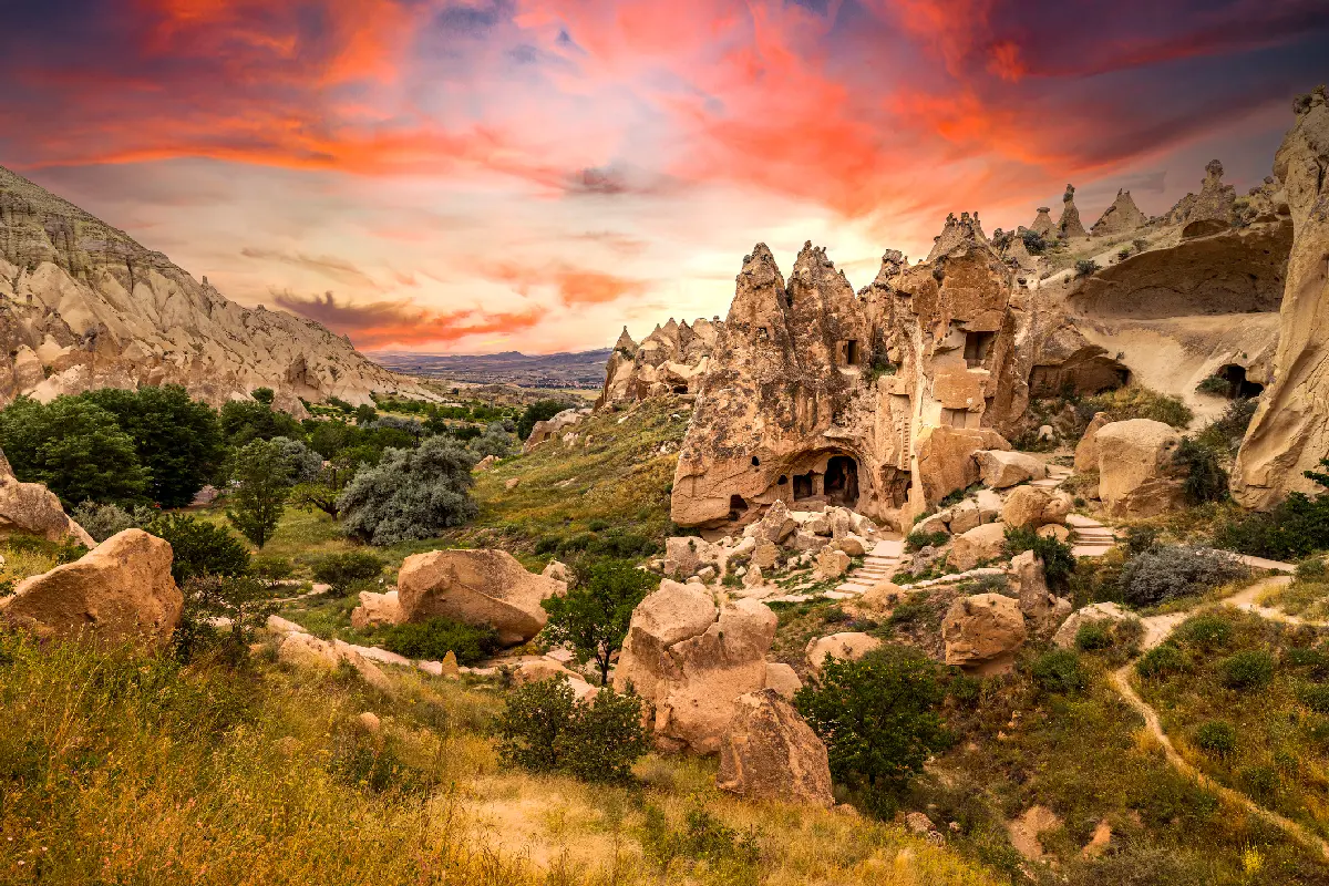
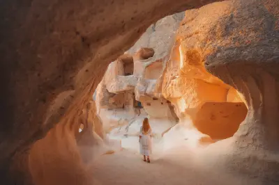
    Ancient cave houses carved into volcanic rock at Zelve Open Air Museum in Cappadocia, Turkey, surrounded by dramatic valleys and fairy chimney formations beneath a colourful sunset sky.

    Paşabağ & Zelve

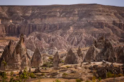
    The landscape developed from thick deposits of volcanic ash and other material laid down by ancient eruptions across central Anatolia. Over millions of years, wind, water, frost, and temperature changes eroded the softer volcanic tuff, leaving harder rock layers standing above columns and pinnacles. At Paşabağ, this process produced some of Cappadocia’s most recognisable mushroom-shaped and multi-capped fairy chimneys. Human settlement transformed the neighbouring valleys further. At Zelve, dwellings, churches, chapels, storage chambers, passages, and communal spaces were excavated directly into the rock, creating an extensive settlement across several interconnected valleys. The surviving structures illustrate how communities incorporated the natural formations into everyday life over many centuries. Photographically, the area offers a combination of geological form, architectural detail, and broad volcanic landscapes. Paşabağ provides strong compositions around isolated fairy chimneys, while Zelve offers layered cliff faces, cave openings, paths, and abandoned structures. Devrent adds more open formations and unusual eroded shapes, with low morning and evening light revealing texture and depth across the pale volcanic rock.

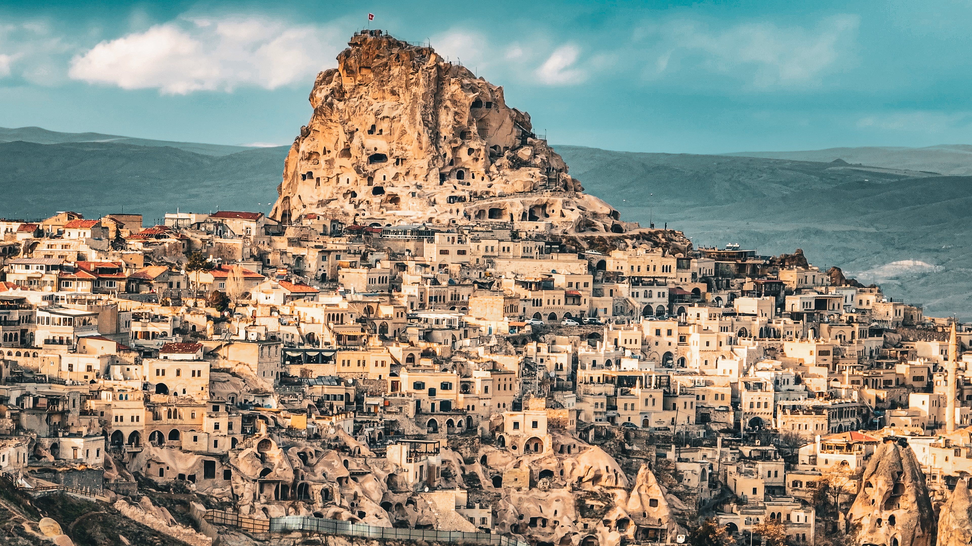
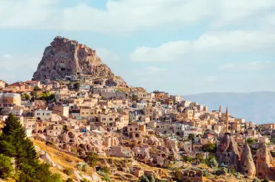
    Uçhisar Castle overlooking rock-cut fairy chimneys and Uçhisar village in Cappadocia, Turkey.

    Uçhisar

    Uçhisar is dominated by Uçhisar Castle, a towering mass of volcanic rock that forms one of Cappadocia’s most recognisable natural landmarks. The surrounding settlement descends across irregular slopes of carved rock, stone houses, cave dwellings, and small agricultural plots, while Pigeon Valley extends southeast towards Göreme through a landscape of eroded tuff formations. The area occupies a strategic position above several of central Cappadocia’s major valleys. From elevated viewpoints around the village and castle, the landscape opens across Göreme, Pigeon Valley, surrounding fairy-chimney formations, and the broad volcanic plateau. On clear days, distant peaks including Mount Erciyes reinforce the geological scale of the region. Photographically, Uçhisar works through elevation, architecture, and layered landscape views. The castle provides both a dominant focal point and a high viewpoint, while the surrounding slopes combine cave architecture with eroded volcanic terrain. Sunrise produces soft directional light across the valleys, while late-afternoon and sunset light illuminate the castle, village, and surrounding ridgelines.

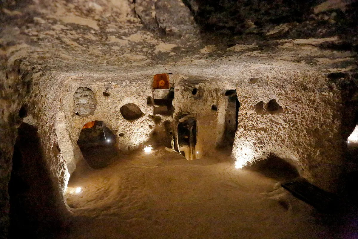
    Interior chamber and passages inside Derinkuyu Underground City in Cappadocia, Turkey.

    Underground Cities

    Cappadocia contains numerous underground settlements developed through successive periods of occupation and expansion. Their exact origins and chronology vary, but many were enlarged substantially during the Byzantine era, when communities used subterranean complexes as protected refuges. Derinkuyu and Kaymaklı are among the largest and best-known examples accessible today. Internally, the cities are organised around networks of chambers, corridors, stairways, shafts, and vertical ventilation systems. Living areas were accompanied by kitchens, storerooms, wells, churches, animal shelters, and other communal spaces. Heavy circular stone doors could be rolled across strategic passageways, allowing sections of the complexes to be sealed from within. Visually, the underground cities contrast completely with Cappadocia’s open valleys and eroded rock formations. Photography is defined by confined spaces, carved surfaces, repeating tunnels, architectural details, and the interaction between artificial light and volcanic stone. Narrow passages and interconnected chambers reveal both the scale and ingenuity of a landscape largely hidden beneath the surface.

    Photographic journey

    Cappadocia & Central Anatolia Photography Route

    Cappadocia & Central Anatolia Circuit · 24 stops

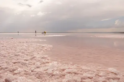
    Pink shallow water and thick salt crystals along the shoreline of Lake Tuz, Turkey.01

    Lake Tuz

    White salt flats and shallow reflective waters create wide, minimalistic landscapes at Lake Tuz. Seasonal changes produce mirror-like surfaces and strong graphic patterns, making it a distinctive subject for wide-angle and abstract photography.

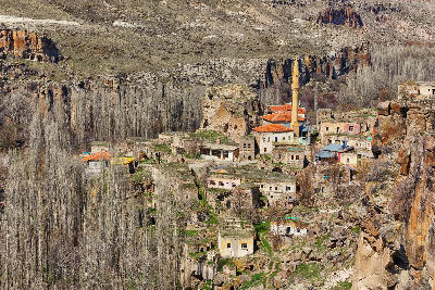
    Belisırma Village and mosque surrounded by rocky cliffs in Ihlara Valley, Turkey.06

    Belisırma

    Belisırma is a small riverside village located within Ihlara Valley, where traditional buildings and cultivated land occupy the narrow floor of the volcanic gorge. The Melendiz River flows through the settlement beneath steep canyon walls containing numerous rock-cut Byzantine churches and cave structures. Footpaths and bridges connect the village with historic sites on both sides of the river, while dense vegetation gives this section of Ihlara Valley a distinctly greener character than much of Cappadocia.

    Uçhisar Castle towering above the historic village in Cappadocia, Turkey, with cave dwellings and traditional stone houses surrounding the rock fortress.10

    Uçhisar Castle

    Uçhisar Castle is a massive natural rock formation rising above the town of Uçhisar at one of the highest points in Cappadocia. Centuries of occupation transformed the volcanic outcrop into a network of carved rooms, passages and openings, creating a distinctive rock-cut fortress visible across the surrounding valleys. Paths and stairways climb through the formation to its summit, which overlooks Pigeon Valley, Göreme and the wider Cappadocian landscape. Its elevated position makes the castle one of the region's defining landmarks.

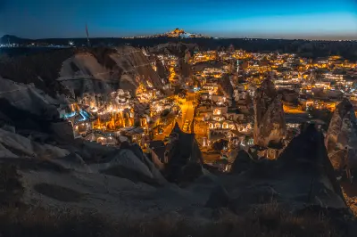
    Night view of Göreme Town in Cappadocia featuring illuminated cave hotels, fairy chimneys and Uçhisar Castle on the horizon.15

    Göreme Town

    Göreme Town is the main visitor centre of Cappadocia, built within a landscape of fairy chimneys, volcanic ridges and rock-cut dwellings. Traditional stone buildings and cave structures have been adapted into hotels, restaurants and homes, while the surrounding slopes provide elevated views across the settlement. At sunrise, hot air balloons frequently pass above and around the town, creating one of Cappadocia's most recognisable scenes. Göreme also provides the principal base for exploring the surrounding valleys and historic sites.

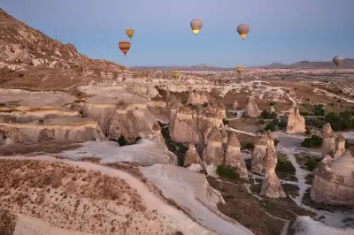
    Hot air balloons floating above the fairy chimneys and pink volcanic landscape of Rose Valley in Cappadocia, Turkey, at sunrise.19

    Rose Valley

    Rose Valley is a network of eroded volcanic valleys near Göreme, characterised by pale pink and rose-coloured cliffs, narrow ridges and sculpted rock formations. Layers within the volcanic tuff produce subtle changes in colour across the landscape, particularly where erosion has exposed different mineral deposits. Walking trails pass through orchards, cave dwellings and rock-cut churches before climbing between the surrounding ridges. The valley connects closely with neighbouring Red Valley and forms part of Cappadocia's main hiking landscape.

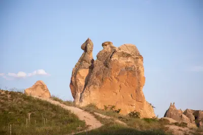
    The naturally sculpted Camel Rock formation rising above the volcanic landscape of Devrent Valley (Imagination Valley) in Cappadocia, Turkey, illuminated by warm evening light.24

    Devrent Valley

    Devrent Valley, also known as Imagination Valley, is an eroded volcanic landscape in Cappadocia characterised by unusual rock formations sculpted from soft volcanic tuff. Wind and water erosion have produced pinnacles, ridges and isolated formations, several of which are commonly interpreted as resembling animals and other familiar shapes. Unlike many of Cappadocia's valleys, Devrent contains few significant cave dwellings or historic structures, leaving the natural geology as its defining feature.

    Explore the Full Cappadocia & Central Anatolia Circuit24 stops across Cappadocia & Central Anatolia

    Overview

    Cappadocia & Central Anatolia are structured around a vast volcanic plateau whose softer layers of tuff have been progressively sculpted into some of the world's most unusual geological formations. Around Göreme, Uçhisar, Paşabağ and Zelve, erosion has created dense concentrations of fairy chimneys, pinnacles and deeply carved valleys, while human occupation has added cave dwellings, rock-cut churches and monasteries. Farther southwest, Ihlara Valley cuts dramatically through the plateau, exposing steep canyon walls lined with historic settlements and religious sites.

    Each landscape contributes a distinctive photographic identity. Göreme provides the classic combination of fairy chimneys, cave architecture and hot-air balloons, while Uçhisar rises above the surrounding valleys as one of Cappadocia's dominant natural landmarks. Paşabağ and Zelve contain some of the region's most concentrated volcanic formations, while Love, Rose and Red valleys reveal layered cliffs, eroded ridges and constantly changing colours. Derinkuyu and Kaymaklı expose the extraordinary subterranean dimension of Cappadocia, with networks of chambers and passages extending deep below the landscape.

    Beyond Cappadocia's volcanic formations, the landscape opens dramatically toward Ihlara Valley and Lake Tuz. Ihlara combines a deeply incised river canyon with rock-cut churches, villages and Selime Monastery, while Lake Tuz introduces an entirely different visual environment of immense horizons, salt crusts, shallow reflective water and open steppe. Together these landscapes reveal the extraordinary geological and human diversity of Central Anatolia, ranging from intimate cave interiors and sculpted valleys to some of Turkey's most expansive minimalist landscapes.
    Key Photography Subjects

    • Fairy chimneys and sculpted volcanic formations
    • Hot-air balloons over Göreme at sunrise
    • Göreme, Uçhisar and historic cave settlements
    • Love, Rose and Red Valley formations and viewpoints
    • Rock-cut churches, monasteries and underground cities
    • Ihlara Valley, Selime Monastery and canyon landscapes
    • Lake Tuz salt flats, reflections and expansive Anatolian skies

    Gallery

    Workshops in Cappadocia & Central Anatolia

    No upcoming workshops scheduled for Cappadocia & Central Anatolia at this time.

    Check back soon or explore other destinations.