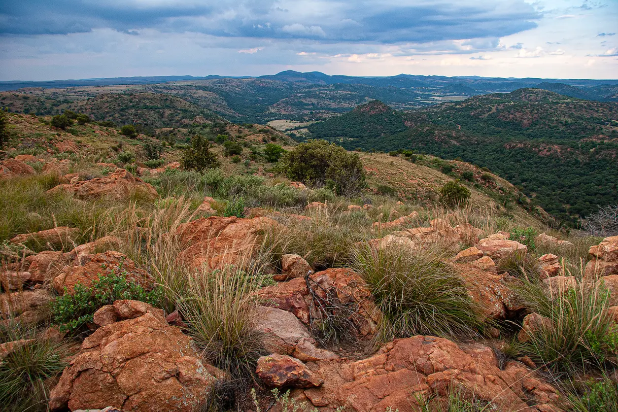
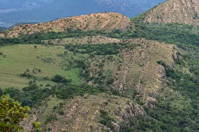
Panoramic view from Dopsteekhoogte across the ridges, valleys and wooded hills of the Vredefort Dome, the world's largest visible meteor impact structure.
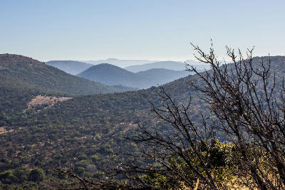
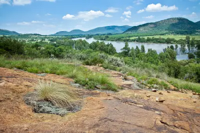
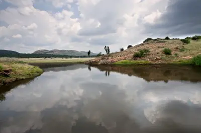
Vredefort Dome & Vaal River forms a distinctive geological landscape in the northern Free State, centred on the world's largest confirmed meteorite impact structure. The region includes ancient rock formations, rolling ridges, river valleys, and the broad course of the Vaal River as it winds through the impact basin. The landscape is structured around a circular system of uplifted ridges, exposed geological formations, and deeply eroded river corridors created by one of the most significant impact events in Earth's history. These features create terrain unlike any other region in South Africa. Geology remains the defining influence across the landscape. Ancient rock strata, elevated viewpoints, rugged hills, and the Vaal River combine to produce a region characterised by both scientific significance and varied natural scenery.
Gallery
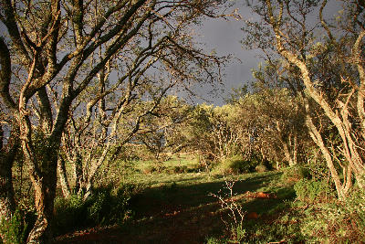
Key POIs in Vredefort Dome & Vaal River
Nearby Places
View all on mapGauteng
region — 64.0 km
Suikerbosrand Nature Reserve
landmark — 90.6 km
Gauteng
Gauteng Nature & Landscapes
area district — 98.1 km
Gauteng
Walter Sisulu National Botanical Garden
landmark — 98.5 km
Gauteng
Constitution Hill
landmark — 98.6 km
Gauteng
Sterkfontein Caves
landmark — 102.0 km
Gauteng
Maropeng
landmark — 105.5 km
Gauteng
Cradle of Humankind
area district — 106.0 km
Gauteng
Overview
The Vredefort Dome & Vaal River region is organised around the remnants of a massive meteorite impact that occurred more than two billion years ago. Subsequent uplift, erosion, and river incision exposed ancient rock formations and created the circular pattern of ridges and valleys that define the landscape today. The Vaal River forms the principal natural corridor through the region, carving through uplifted terrain and creating cliffs, rapids, islands, and broad river valleys. These waterways contrast strongly with the surrounding hills and geological formations, adding movement and visual diversity to the landscape. The visual character of the region is defined by exposed rock, rolling ridgelines, river scenery, and elevated viewpoints overlooking the impact basin. Seasonal vegetation, changing weather, and low-angle light continually alter the appearance of the terrain while emphasising the geological structure of the landscape.
Key photography subjects
- Ancient geological formations and exposed rock strata
- Circular ridges and uplifted impact-basin landscapes
- Vaal River valleys, rapids, and river scenery
- Elevated viewpoints across the impact structure
- Rolling hills and sandstone outcrops
- Storm light, cloud formations, and dramatic skies
- Sunrise and sunset light across the basin
Workshops in Vredefort Dome & Vaal River
No upcoming workshops scheduled for Vredefort Dome & Vaal River at this time.
Check back soon or explore other destinations.