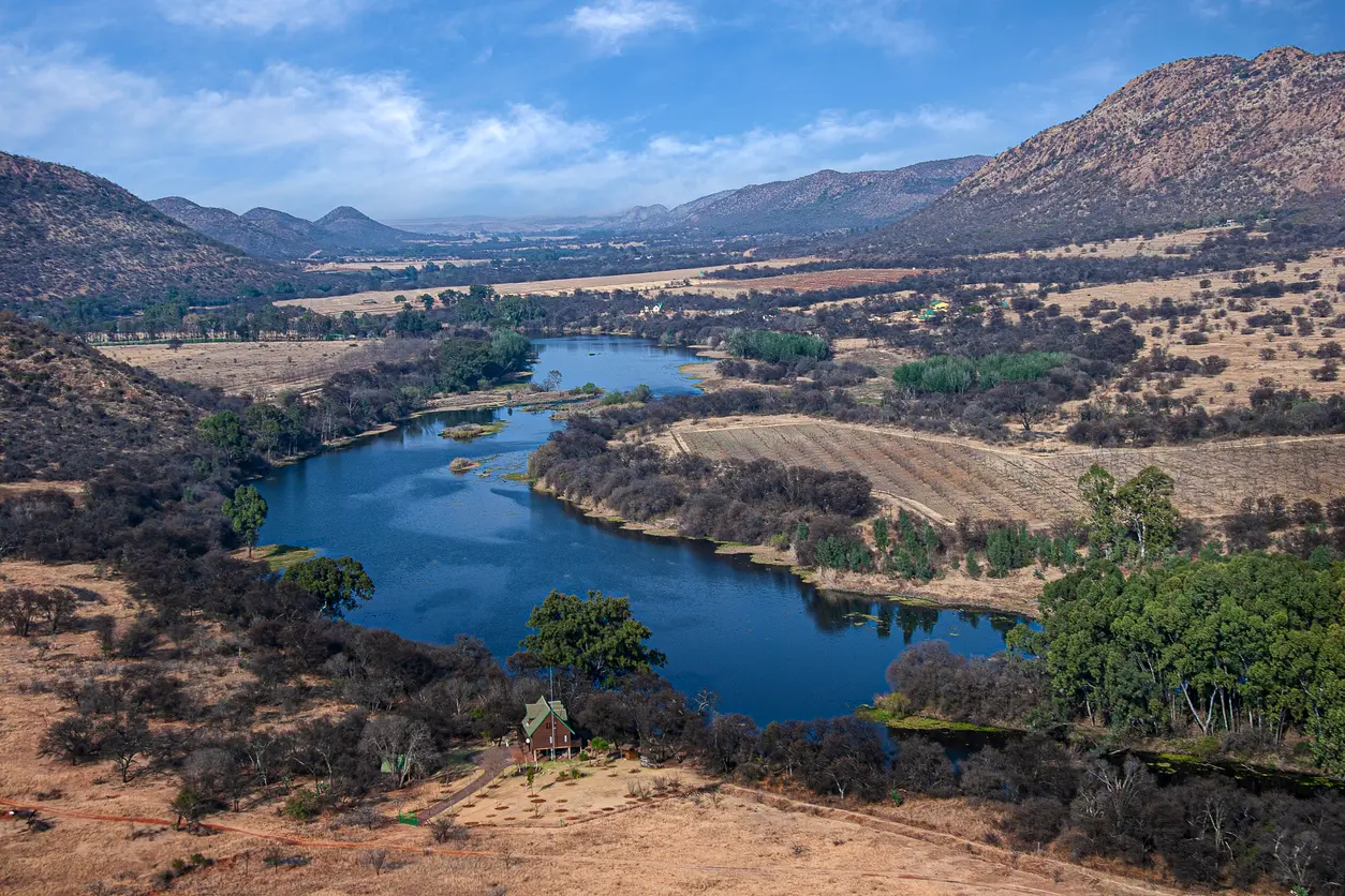
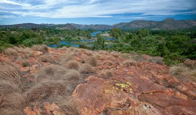
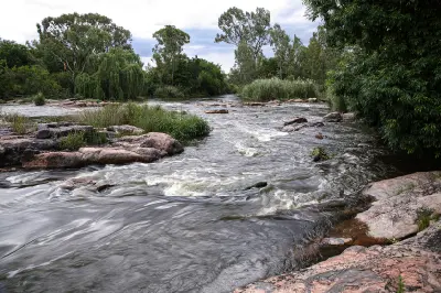
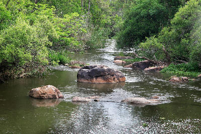
The Vaal River winds through the heart of the Vredefort Dome World Heritage Site, carving a broad valley between ancient hills and farmland in one of South Africa's most significant geological landscapes.
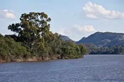
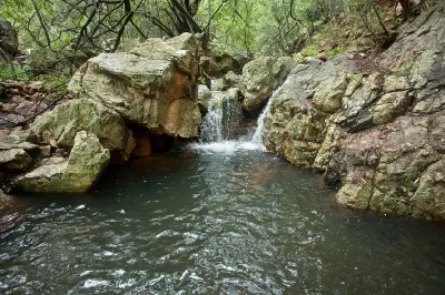
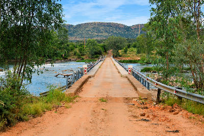
The Vaal River winds through the Vredefort Dome, carving a scenic corridor of rocky hills, sandstone cliffs and tranquil waters through one of South Africa's most significant geological landscapes. Combining river scenery with dramatic terrain, it forms the visual heart of the Dome region.
-26.98042, 27.20045
Gallery
Quick Facts
Access
Roadside / Step-out
5–15 min
Elevation Gain
10 m
Best Light
Low-angle sunlight creates reflections on the water, reveals texture along rocky shorelines and adds depth to the surrounding river valley landscape.
Why This Light
Season
Year-Round Stable
Summer brings green riverbanks, dramatic cloud formations and higher water levels following seasonal rainfall. Winter offers clear visibility, lower vegetation density and excellent conditions for photographing the surrounding ridges and geological features.
Crowds
Usually Quiet
Restrictions
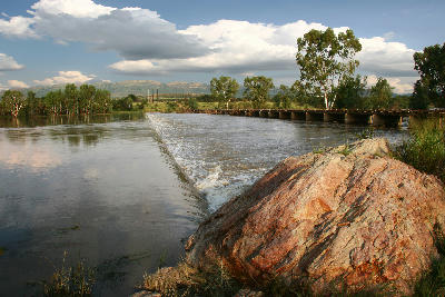
Numerous public roads, bridges, viewpoints and riverside access points provide opportunities to photograph the Vaal River throughout the Dome region. Many locations can be reached directly from roadside stops, while others require only short walks from parking areas.