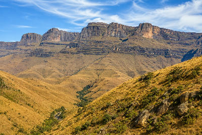
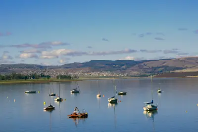
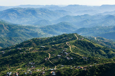
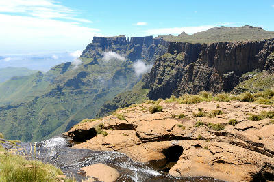
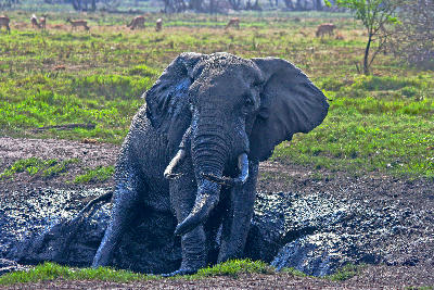
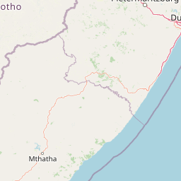
KwaZulu-Natal is structured around a series of major landscape systems connected by rivers flowing eastwards from the Drakensberg Escarpment towards the Indian Ocean. The province combines South Africa's highest mountain range with fertile agricultural valleys, extensive wetlands, wildlife reserves, indigenous forests, and a subtropical coastline, creating exceptional geographic diversity within a single region.
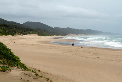
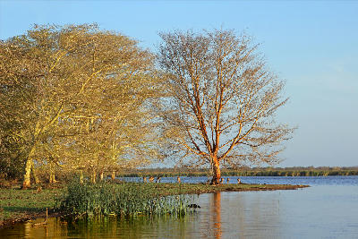
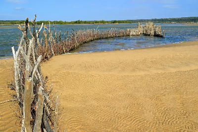
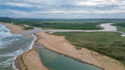
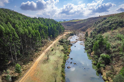
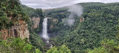
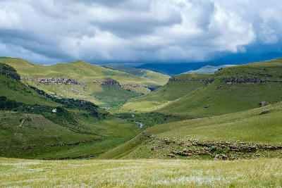
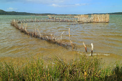
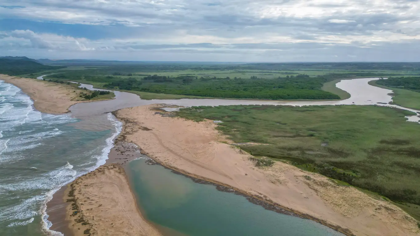
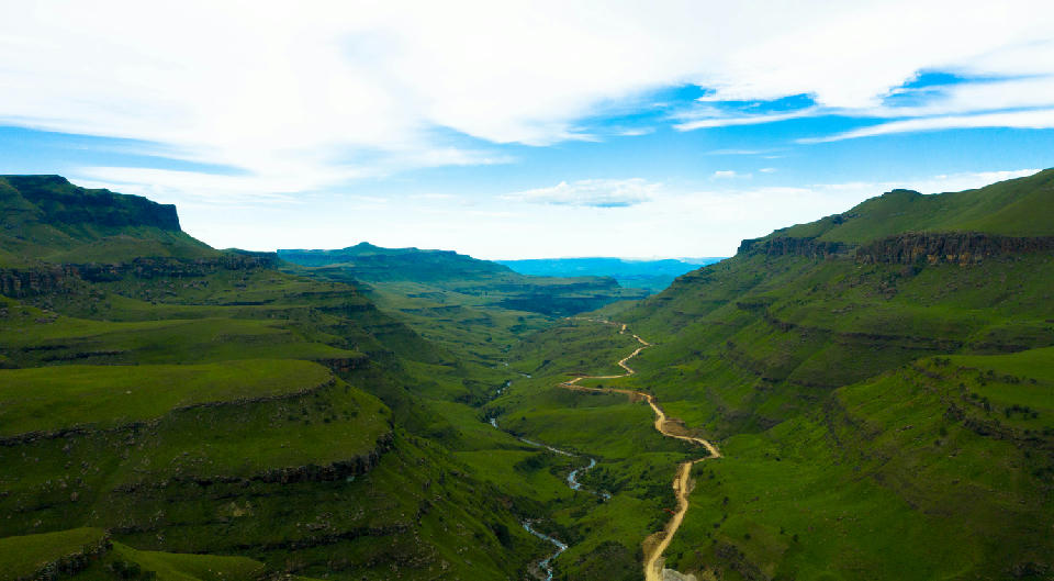
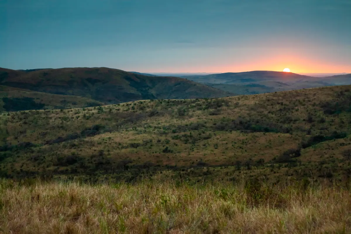
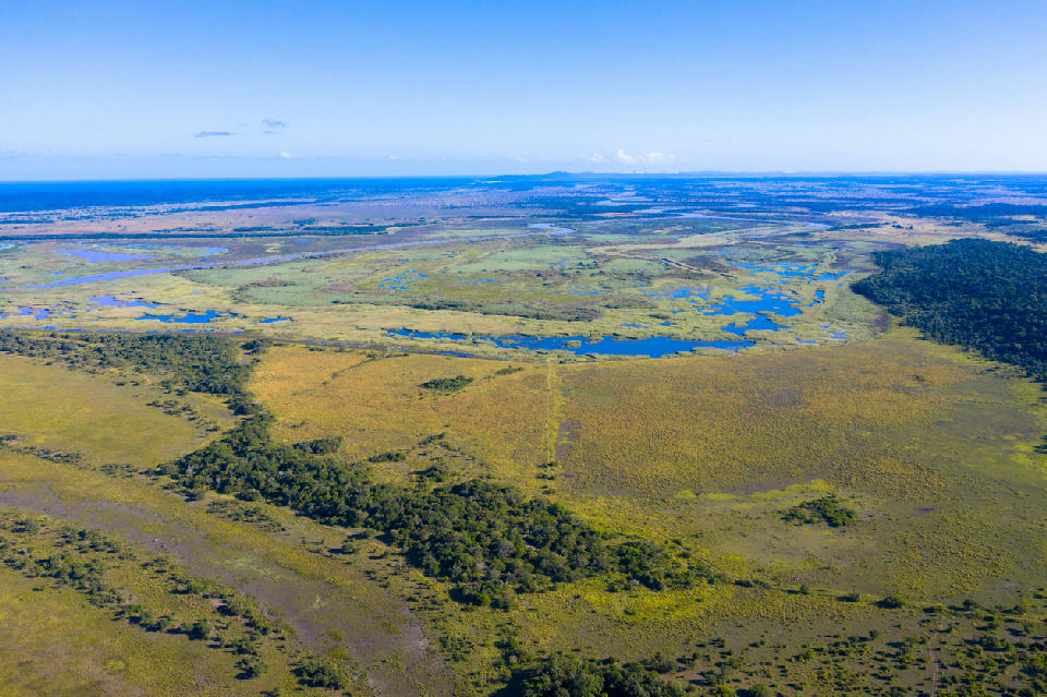
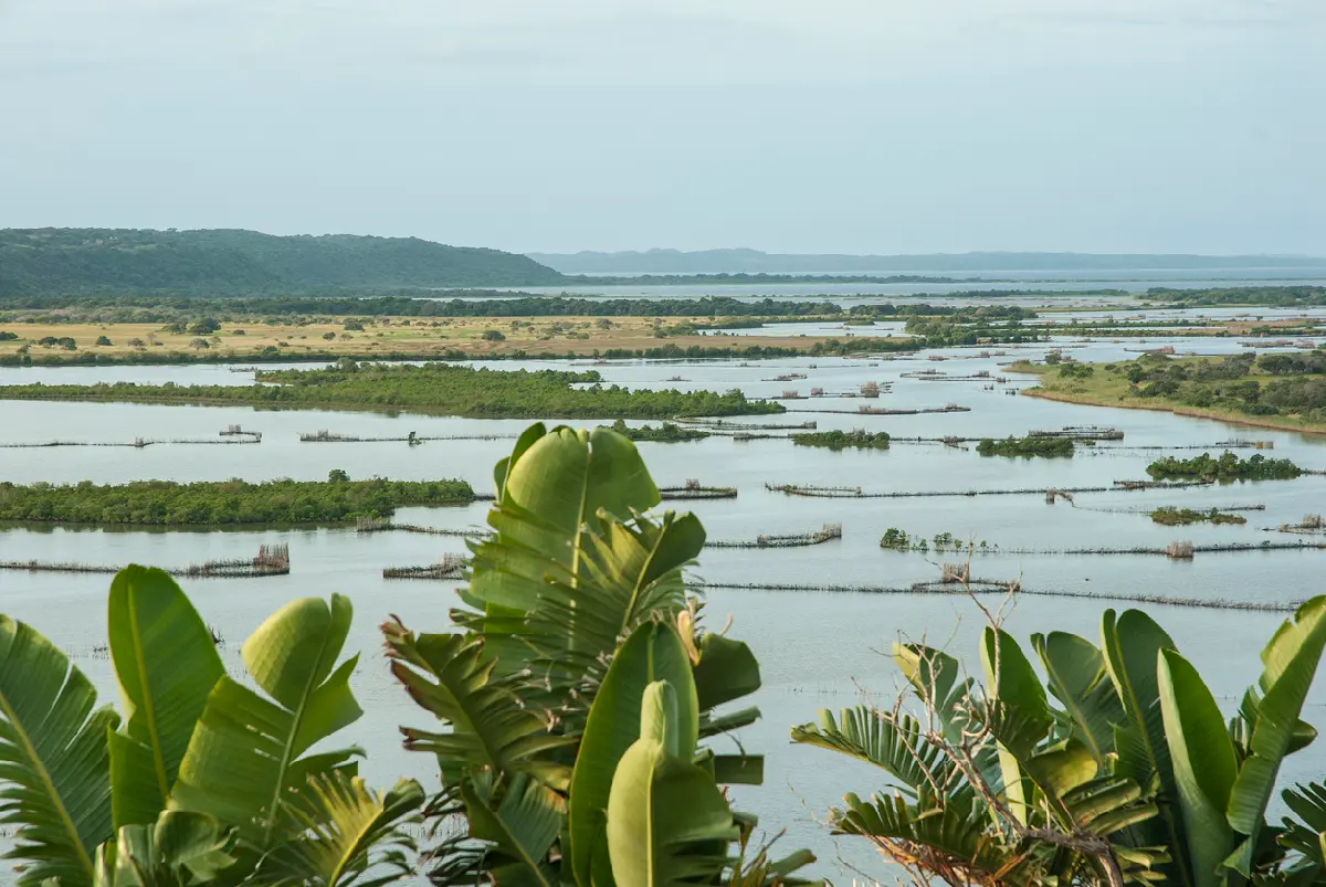
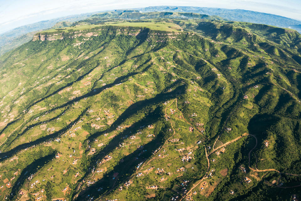
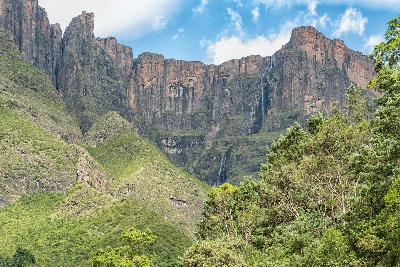
Each landscape possesses a distinct visual identity. The Drakensberg is characterised by towering cliffs, sandstone buttresses, waterfalls, and alpine grasslands, while the Midlands features rolling hills, forests, rivers, and mist-covered farmland. Further east, coastal lakes, estuaries, beaches, dune systems, and wetlands dominate the landscape before giving way to the wilderness reserves of Hluhluwe-Imfolozi and the tropical shoreline surrounding Kosi Bay.
The visual structure of the region is defined by strong contrasts in elevation, climate, and ecosystems. Mountain ridges, winding rivers, open savannah, indigenous forests, wetlands, coastal dunes, and expansive beaches create layered compositions throughout the province. Light varies dramatically between the cool mountain interior and the humid coastline, while mist, seasonal rainfall, thunderstorms, and changing coastal conditions continually reshape colour, atmosphere, and photographic opportunities.





 01
01