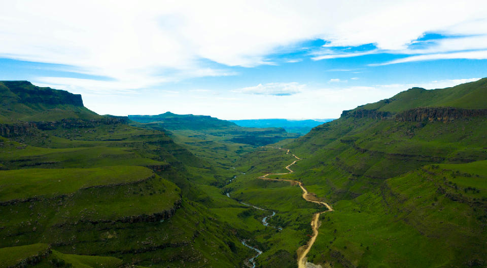
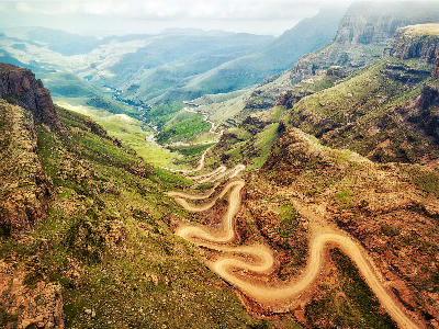
The Sani Pass valley stretches towards Lesotho through a dramatic landscape of grass-covered plateaus, deep gorges and winding mountain roads.
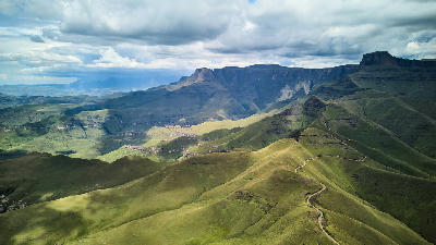
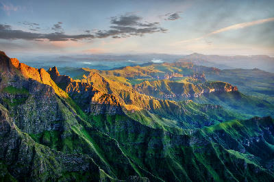
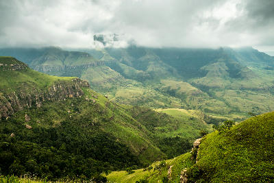
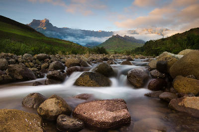
The Drakensberg forms South Africa's highest mountain landscape along the western boundary of KwaZulu-Natal and the eastern escarpment of Lesotho. The region includes the Amphitheatre, Cathedral Peak, Giant's Castle, Champagne Castle, Tugela Falls, and a network of mountain valleys, passes, rivers, and high-altitude grasslands extending across one of Africa's most dramatic mountain systems. The terrain is structured around towering basalt cliffs, deeply incised river valleys, sandstone foothills, and elevated plateaus shaped by millions of years of geological uplift and erosion. Rivers originating in the mountains feed major catchments throughout eastern South Africa, while extensive wilderness areas protect large sections of the escarpment and surrounding valleys. Seasonal variation influences mountain vegetation, river flow, mist, snowfall, and atmospheric clarity throughout the year. Changing weather systems, dramatic cloud formations, and shifting light conditions create constantly evolving mountain scenery across the range.
Gallery
Key POIs in Drakensberg
Nearby Places
View all on mapGolden Gate Highlands National Park
landmark — 45.8 km
Free State
Golden Gate & Maluti Foothills
area district — 50.6 km
Free State
Mushroom Rock
landmark — 51.0 km
Free State
Brandwag Buttress
landmark — 51.6 km
Free State
Clarens & Eastern Highlands
area district — 69.8 km
Free State
Clarens
landmark — 70.0 km
Free State
Nottingham Road
landmark — 118.1 km
KwaZulu-Natal
Overview
The Drakensberg is structured around a continuous escarpment extending for hundreds of kilometres along the eastern edge of southern Africa's interior plateau. Massive basalt cliffs form the dominant visual feature, rising above rolling foothills, deeply dissected valleys, and extensive upland grasslands. The landscape contains some of South Africa's highest peaks, largest wilderness areas, and most significant mountain catchments. Each section of the range possesses a distinct character while remaining visually connected by the escarpment system. The northern Drakensberg is defined by the Amphitheatre and Tugela Falls, while central sections include Cathedral Peak and Champagne Castle. Further south, Giant's Castle and remote wilderness valleys create increasingly rugged mountain terrain. Rivers, waterfalls, ridgelines, and mountain passes link these landscapes into a continuous mountain system. The visual structure of the region is defined by elevation, scale, and geological contrast. Vertical cliff faces, rolling upland grasslands, winding river valleys, and distant mountain horizons create layered compositions across the landscape. Seasonal snow, mountain mist, thunderstorms, and low-angle sunlight continually reshape colour, texture, and atmosphere throughout the escarpment.
Key photography subjects
- Towering basalt escarpments and mountain amphitheatres
- High-altitude grasslands and rolling mountain plateaus
- Waterfalls, rivers, and deeply incised valleys
- Dramatic mountain passes and ridgeline viewpoints
- Sandstone foothills and geological formations
- Mountain mist, cloud formations, and changing weather
- Sunrise and sunset light across the escarpment
Workshops in Drakensberg
No upcoming workshops scheduled for Drakensberg at this time.
Check back soon or explore other destinations.