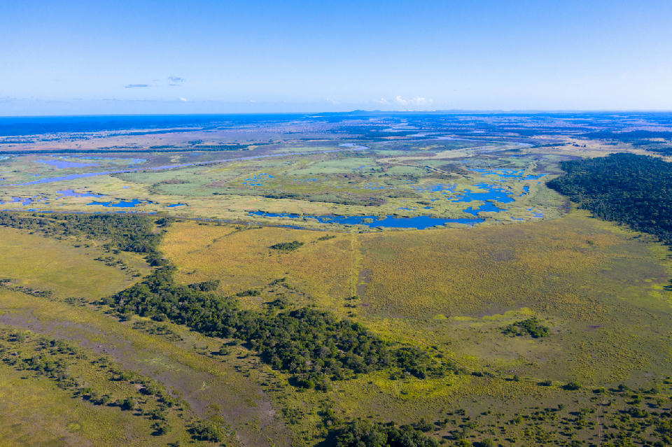
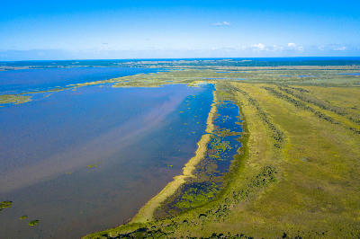
Aerial view across the wetlands, lakes and coastal forest mosaic of the iSimangaliso Wetland Park in northern KwaZulu-Natal, South Africa.
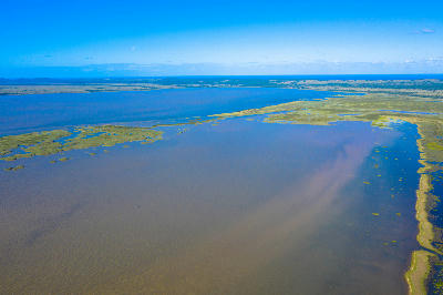
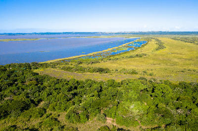
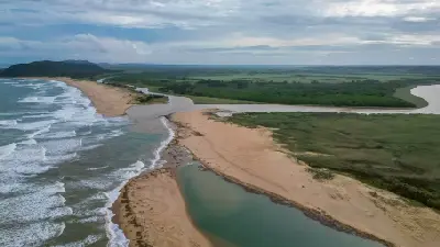
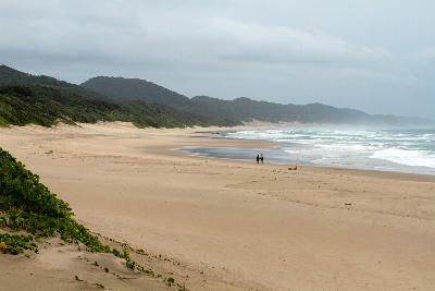
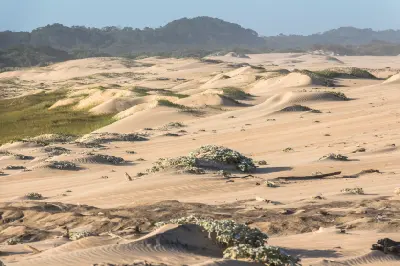
iSimangaliso & St Lucia form a globally significant wetland and coastal landscape along the subtropical coastline of northern KwaZulu-Natal. The region includes Lake St Lucia, the St Lucia Estuary, Cape Vidal, False Bay, Mission Rocks, and an extensive network of wetlands, forests, beaches, dunes, and marine environments contained within South Africa's first UNESCO World Heritage Site. The landscape is structured around Africa's largest estuarine lake system, where freshwater wetlands, river channels, coastal lakes, dune forests, and the Indian Ocean interact to create one of the most biologically diverse environments in southern Africa. Extensive reed beds, floodplains, grasslands, forests, and coastal habitats support exceptional concentrations of wildlife and birdlife throughout the region. Seasonal variation influences water levels, vegetation, wildlife movements, and atmospheric conditions across the wetland system. Morning mist, summer rainfall, changing estuary dynamics, and shifting coastal conditions create constantly evolving scenery throughout the lakes, wetlands, forests, and coastline.
Gallery
Key POIs in iSimangaliso & St Lucia
Nearby Places
View all on mapOverview
iSimangaliso & St Lucia are structured around an interconnected network of estuaries, coastal lakes, wetlands, forests, dune systems, and marine environments extending along the northeastern coastline of KwaZulu-Natal. Lake St Lucia forms the core of the landscape, while surrounding habitats create a continuous ecological system stretching from the inland wetlands to the Indian Ocean shoreline. Each section of the region possesses a distinct visual identity while remaining connected through the broader wetland system. The St Lucia Estuary is defined by tidal channels, sandbanks, and open water, while False Bay contains extensive wetland and grassland environments. Cape Vidal and Mission Rocks introduce coastal forests, beaches, rocky shorelines, and marine habitats, while vast dune systems form a natural barrier between the lakes and the ocean. The visual structure of the landscape is defined by water, vegetation, and ecological diversity. Estuaries, lakes, reed beds, forests, beaches, dunes, and open coastlines create layered compositions across the region. Reflections, mist, changing weather, and subtropical light continually influence colour, texture, and atmosphere, producing one of South Africa's most distinctive coastal wilderness landscapes.
Key photography subjects
- Wetlands, estuaries, and expansive coastal lake systems
- Reed beds, floodplains, and freshwater channels
- Coastal forests, dune systems, and subtropical vegetation
- Beaches, rocky shorelines, and Indian Ocean scenery
- Hippopotamus, crocodile, birdlife, and wetland wildlife
- Reflections, waterways, and layered wetland landscapes
- Mist, atmospheric conditions, and subtropical coastal light
Workshops in iSimangaliso & St Lucia
No upcoming workshops scheduled for iSimangaliso & St Lucia at this time.
Check back soon or explore other destinations.