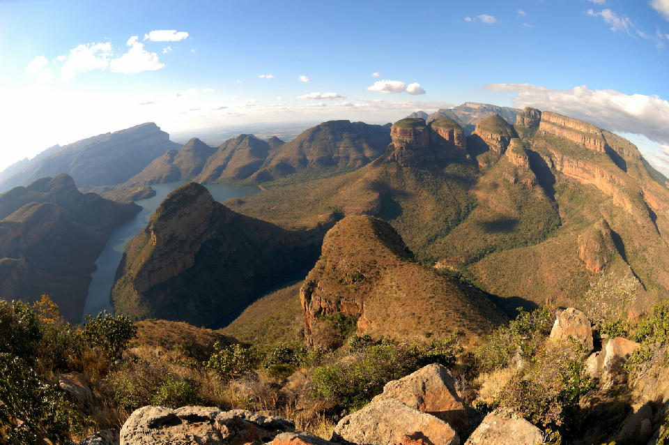
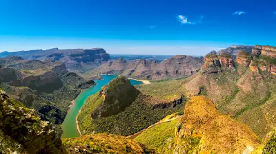
Three Rondavels rise above the waters of Blyde Dam, forming one of the most iconic viewpoints in the Blyde River Canyon of Mpumalanga.
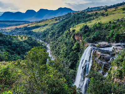
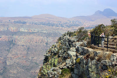
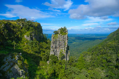
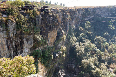
The Blyde River Canyon & Panorama Route is a mountain and escarpment landscape in Mpumalanga along the eastern edge of South Africa's interior plateau. The region includes the Blyde River Canyon, dramatic viewpoints, waterfalls, and forested valleys positioned where the Highveld descends toward the Lowveld. The terrain is defined by deeply incised river systems, towering cliffs, isolated rock formations, and elevated plateaus overlooking vast sections of northeastern South Africa. Rivers, waterfalls, and indigenous forests create a varied landscape shaped by geological uplift and erosion over millions of years. Seasonal weather influences visibility, vegetation colour, water levels, and atmospheric conditions throughout the escarpment. Mist, cloud inversions, and changing light regularly alter the appearance of the landscape across the year.
Gallery
Key POIs in Blyde River Canyon & Panorama Route
Berlin Falls
water feature — 29.5 km
Blyde River Canyon
landmark — 1.2 km
Bourke's Luck Potholes
landmark — 10.3 km
God's Window
landmark — 33.9 km
Graskop Gorge Lift
landmark — 40.7 km
Lisbon Falls
water feature — 31.3 km
Mac Mac Falls
water feature — 46.8 km
Pinnacle Rock
landmark — 37.1 km
Three Rondavels
landmark — 2.5 km
Wonder View
landmark — 33.3 km
Nearby Places
View all on mapLake Panic Hide
water feature — 88.3 km
Mpumalanga
Skukuza Rest Camp
landmark — 91.3 km
Mpumalanga
Sabie River
water feature — 103.3 km
Mpumalanga
Kruger National Park South
area district — 105.8 km
Mpumalanga
Soutpansberg & Magoebaskloof
area district — 111.9 km
Limpopo
Letaba River & Camp
landmark — 112.0 km
Mpumalanga
Olifants River
water feature — 112.9 km
Mpumalanga
Olifants Rest Camp
landmark — 113.8 km
Mpumalanga
Overview
The Blyde River Canyon & Panorama Route is structured around a series of escarpment viewpoints, river gorges, waterfalls, and elevated mountain ridges extending along the eastern Drakensberg escarpment. Deep valleys separate elevated plateaus while river systems carve dramatic canyons through resistant rock formations. Each valley functions as a distinct geographic unit with strong visual relationships between cliffs, forests, waterfalls, rivers, and distant mountain horizons. Forested ravines occupy sheltered slopes while exposed viewpoints provide extensive views across the Lowveld far below. The visual structure of the region is defined by alternating bands of canyon walls, river valleys, mountain ridges, waterfalls, and forested escarpment terrain. Changes in elevation, weather, and seasonal vegetation create continual variation across the landscape throughout the year.
Key photography subjects
- Deep canyon landscapes and escarpment cliffs
- Elevated viewpoints overlooking the Lowveld
- Waterfalls, river gorges, and forested valleys
- Layered mountain ridges and distant horizons
- Isolated rock formations and geological features
- Mist, cloud inversions, and atmospheric conditions
- Seasonal light across the escarpment landscape
Workshops in Blyde River Canyon & Panorama Route
No upcoming workshops scheduled for Blyde River Canyon & Panorama Route at this time.
Check back soon or explore other destinations.