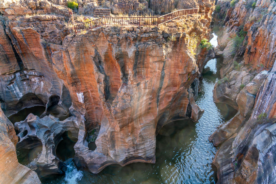
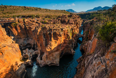
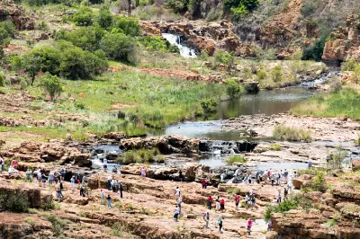
Bourke’s Luck Potholes showcases centuries of water erosion where the Treur and Blyde rivers meet, creating a remarkable landscape of sculpted rock formations, swirling pools and narrow sandstone channels along the Panorama Route.
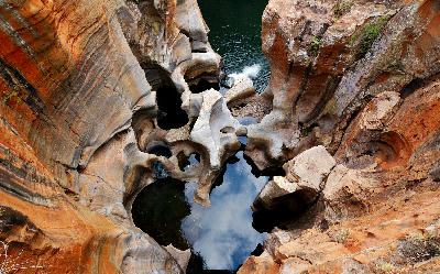
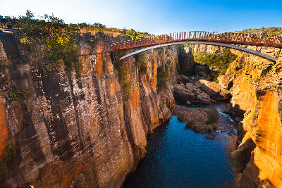
Bourke's Luck Potholes is one of South Africa's most distinctive geological attractions, where centuries of swirling water have carved deep cylindrical formations into the bedrock. Located at the confluence of the Blyde and Treur Rivers, the site combines sculpted rock formations, flowing water and dramatic canyon scenery. Its unique patterns, colours and textures make it one of the most recognisable locations along the Panorama Route.
-24.67276, 30.80715
Gallery
Quick Facts
Access
Visitor Access
15–45 min
Elevation Gain
40 m
Best Light
Soft light and overcast conditions reduce contrast and reveal detail within the rock formations, pools and river channels.
Why This Light
Season
Year-Round Stable
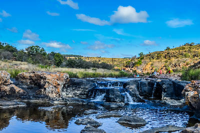
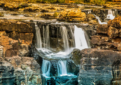
Summer rainfall increases river flow and creates more dramatic water movement through the potholes. Winter brings lower water levels, clearer water and greater visibility of the rock formations.
Crowds
Often Busy
Restrictions
Access is via a managed conservation site with designated walkways and viewing platforms. Entrance fees are typically charged and visitors should remain within marked viewing areas.