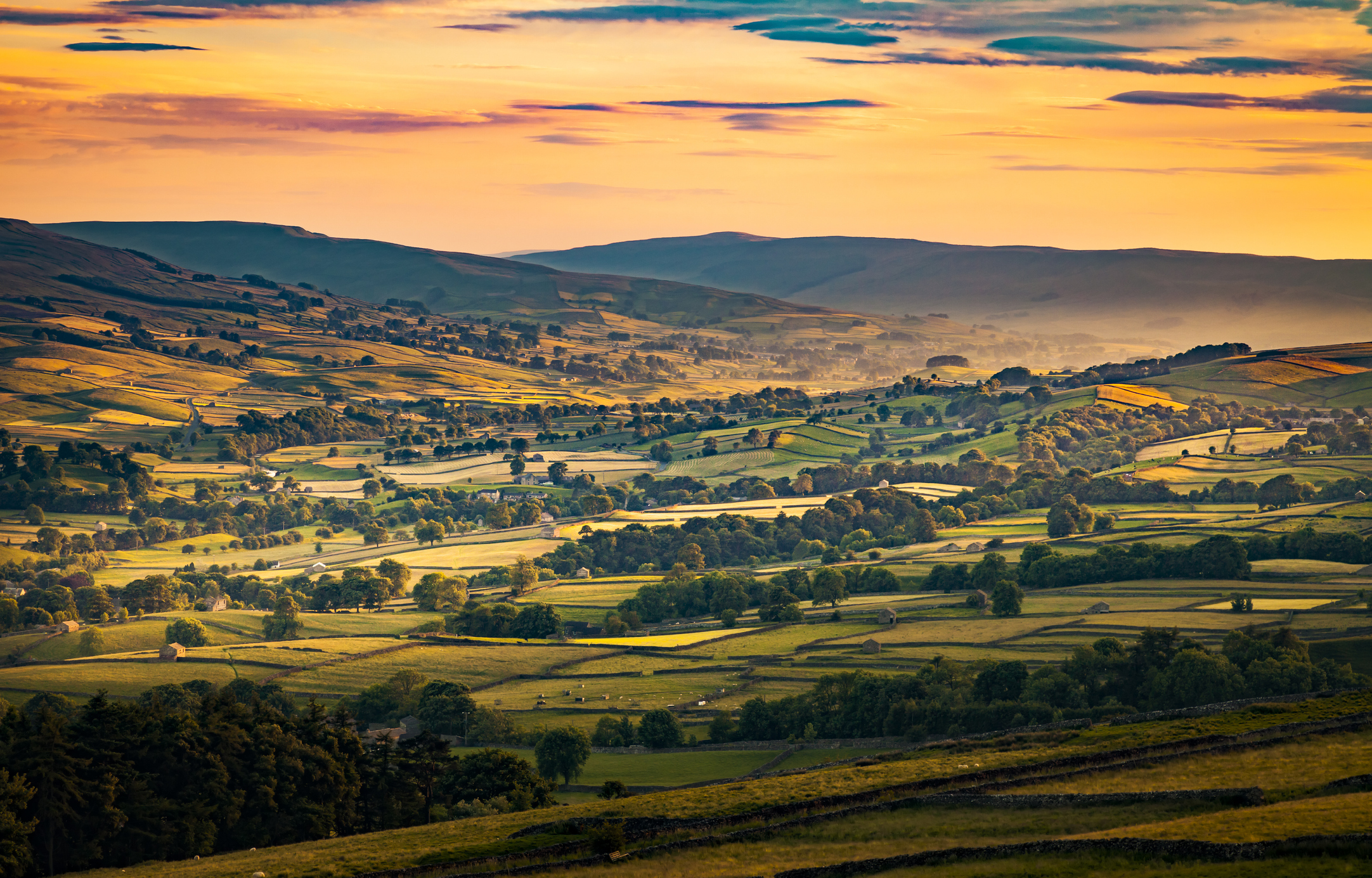
Golden evening light sweeps across the patchwork fields and rolling hills of Wensleydale near Askrigg, revealing the timeless rural landscape of the Yorkshire Dales.
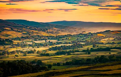
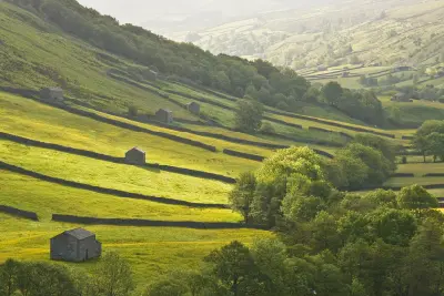
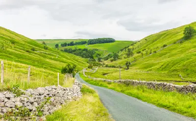
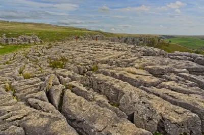
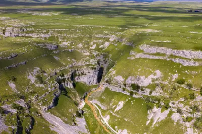
The Yorkshire Dales form an extensive upland landscape in northern England, defined by limestone hills, broad glacial valleys and traditional agricultural countryside. The area includes Wharfedale, Wensleydale, Malhamdale and the surrounding Pennine uplands, where dry-stone walls, stone-built villages and exposed rock formations create a distinctive rural landscape. The terrain transitions between open limestone plateaus, steep valley sides, rolling pastures and sheltered river corridors. Ancient glacial erosion has shaped broad valleys, while water moving through limestone has formed caves, rocky gorges, waterfalls and prominent natural escarpments. Seasonal variation influences pasture colour, river flows and atmospheric conditions, creating changes in valley textures, woodland cover and visibility across the surrounding hills.
Gallery
Key POIs in Yorkshire Dales
Nearby Places
View all on mapLake District — Central & Eastern Lakes
area district — 57.3 km
Northern England
Ullswater
water feature — 58.8 km
Northern England
Aira Force
water feature — 60.9 km
Northern England
Rievaulx Abbey
landmark — 67.1 km
Northern England
Surprise View
landmark — 71.4 km
Northern England
Ashness Bridge
landmark — 71.5 km
Northern England
Castlerigg Stone Circle
landmark — 71.6 km
Northern England
Roseberry Topping
landmark — 72.4 km
Northern England
Overview
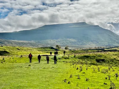
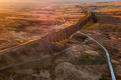
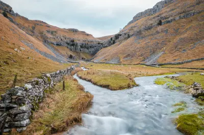
The Yorkshire Dales are structured around a series of river valleys and limestone uplands extending across the central Pennines. Glacial erosion has widened many of the principal valleys, while limestone pavements, rocky escarpments and underground drainage systems reflect the region's complex geological history. Across the area, Malham Cove forms a prominent limestone cliff above the surrounding countryside, while Gordale Scar reveals a narrow gorge enclosed by steep rock walls. Aysgarth Falls and Janet’s Foss provide contrasting waterfall landscapes, while Ingleborough rises above the surrounding limestone terrain and Ribblehead Viaduct crosses an exposed upland valley. The visual structure of the area is defined by the relationship between natural limestone formations and centuries of agricultural land use. Dry-stone walls divide green pastures into geometric patterns, while stone villages, river corridors and exposed hillsides create layered compositions influenced by mist, seasonal colour and changing directional light.
Key photography subjects
- Malham Cove, limestone cliffs and exposed rock pavements
- Gordale Scar and dramatic limestone gorge formations
- Aysgarth Falls, Janet’s Foss and wooded waterfall landscapes
- Ingleborough and expansive Pennine upland scenery
- Ribblehead Viaduct and historic railway architecture
- Rolling green valleys, dry-stone walls and traditional villages
- Morning mist, seasonal pasture colour and atmospheric upland light
Workshops in Yorkshire Dales
No upcoming workshops scheduled for Yorkshire Dales at this time.
Check back soon or explore other destinations.