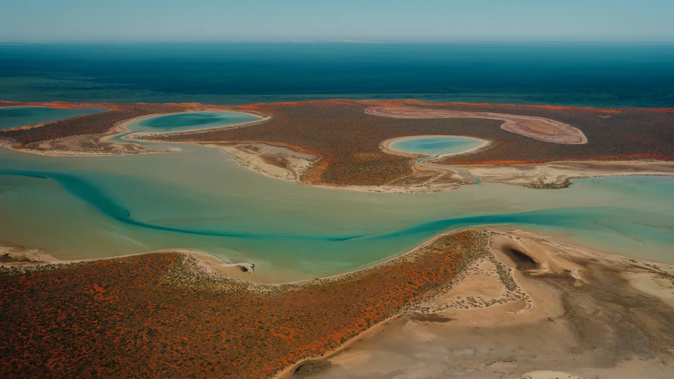
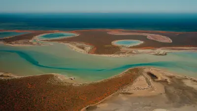
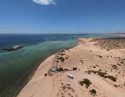
Aerial landscape of Shark Bay on the Western Australian coast.
The Western Australia Coast extends along the Indian Ocean through a landscape of coral reefs, limestone ranges, broad bays and rugged coastal cliffs. From Ningaloo and Cape Range south through Shark Bay to Kalbarri, the region combines clear tropical waters, arid coastal plains and deeply weathered rock formations. The terrain transitions between offshore reef systems, white-sand beaches, low coastal dunes and elevated limestone or sandstone country. Sheltered bays and tidal flats contrast with exposed headlands and river-cut gorges, while sparse vegetation reflects the increasingly dry climate of the western interior. Seasonal variation influences ocean conditions, vegetation and atmospheric clarity, contributing to shifts in colour and contrast between turquoise water, pale coastal terrain and warm rock landscapes.
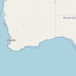
Structured Map of Western Australia Coast
A connected view of the landscape, organised by regions, areas, and key locations.


Charles Knife Canyon
landmark
Turquoise Bay
beach
Ningaloo & Cape Range
area district
Yardie Creek
water feature
Ningaloo Reef
water feature
Francois Peron National Park
landmark
Monkey Mia
landmark
Shark Bay
area district
Eagle Bluff
landmark
Shell Beach
beach
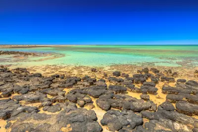
Hamelin Pool Stromatolites
landmark
Nature's Window
landmark
Kalbarri Skywalk
landmark
Z Bend
water feature
Kalbarri
area district
Island Rock
landmark
Natural Bridge
landmark
Hutt Lagoon (Pink Lake)
water feature
Lake Thetis
water feature
Pinnacles & Cervantes Coast
area district
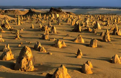
Pinnacles Desert
landmark
Areas in Western Australia Coast
Gallery
Overview
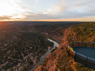
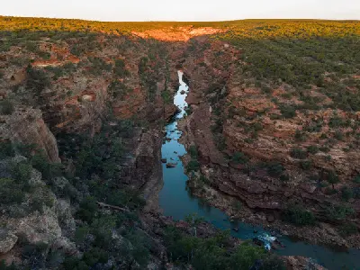
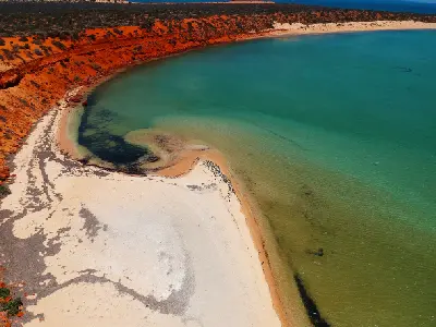
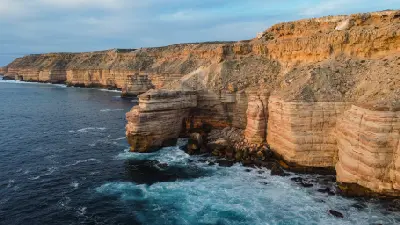
The Western Australia Coast is structured around a long transition between the Indian Ocean and the arid landscapes of the continent's western interior. Ningaloo Reef follows the shoreline beside Cape Range, while farther south the Shark Bay peninsulas enclose extensive bays, tidal flats and shallow coastal waters. Around Kalbarri, the Murchison River cuts through layered sandstone before reaching the coast, creating a landscape of inland gorges and exposed coastal cliffs. Across the wider region, limestone, sandstone and marine environments create distinct geographic areas linked by an increasingly dry coastal landscape. The visual structure of the region is defined by the contrast between clear ocean water and arid land. Reefs, beaches and sheltered bays create strong coastal forms, while cliffs, river gorges and rocky headlands introduce greater relief along an otherwise expansive shoreline.
Key photography subjects
- Ningaloo Reef and clear Indian Ocean waters
- Cape Range and arid limestone landscapes
- Turquoise Bay and white-sand coastline
- Shark Bay, tidal flats and sheltered coastal waters
- Francois Peron and red coastal landscapes
- Kalbarri cliffs and Murchison River gorges
- Coastal light, reflections and changing ocean conditions
Workshops in Western Australia Coast
No upcoming workshops scheduled for Western Australia Coast at this time.
Check back soon or explore other destinations.