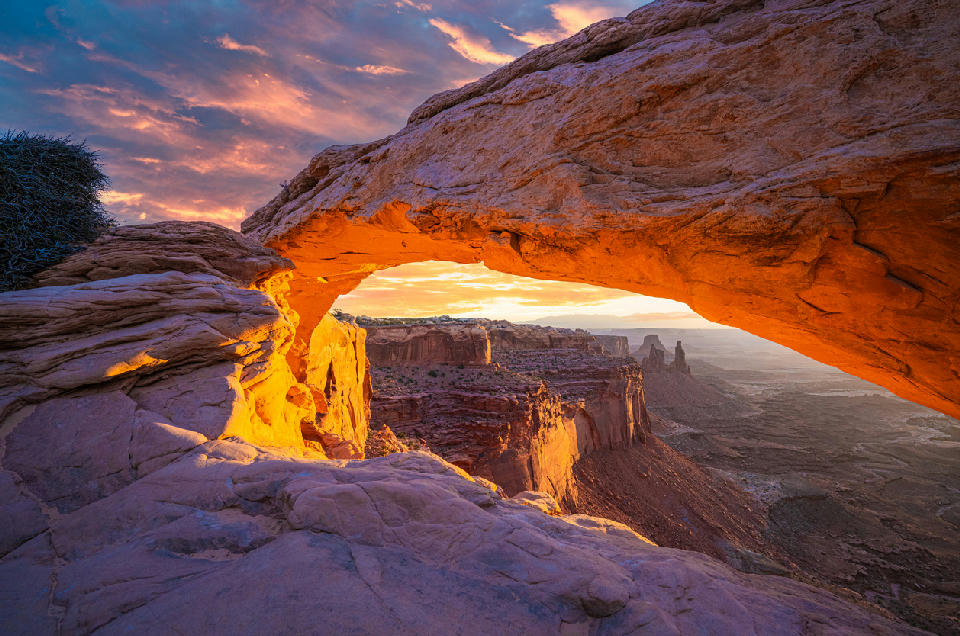
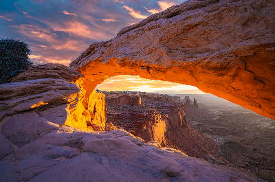
Sunrise light illuminating Mesa Arch in Canyonlands National Park, Utah
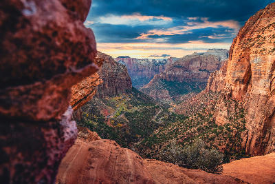
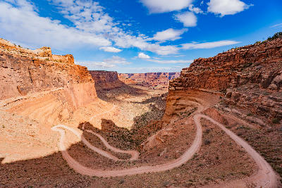
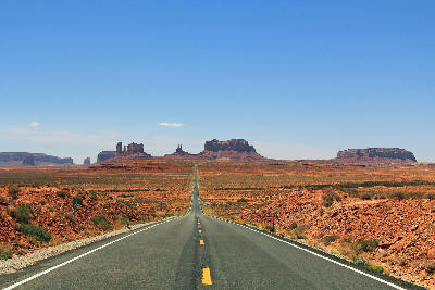
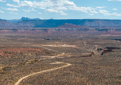
Utah National Parks is a desert landscape system in the southwestern United States defined by canyon formations, sandstone plateaus, and arid high-desert terrain. The region includes protected areas such as Zion National Park, Bryce Canyon National Park, Arches National Park, Canyonlands National Park, and Capitol Reef National Park, where layered rock systems and erosion have shaped distinctive landforms. Its structure is defined by sedimentary geology, elevation changes, and long-term weathering processes. The terrain transitions between deep canyons, natural arches, mesas, buttes, and open desert plains. Elevation varies across plateaus and canyon systems, creating strong contrasts between high viewpoints and lower valley floors. Seasonal variation influences vegetation patterns, light conditions, and atmospheric clarity, contributing to shifts in colour and surface texture throughout the year.
Structured Map of Utah National Parks
A connected view of the landscape, organised by regions, areas, and key locations.



The Subway
water feature
The Watchman
landmark
Canyon Overlook
landmark
Court of the Patriarchs
landmark
Zion National Park
area district
Zion Canyon Scenic Drive
landmark
Angels Landing
landmark
Temple of Sinawava
landmark
The Narrows
landmark
Inspiration Point
landmark
Navajo Loop Trail
landmark
Bryce Canyon National Park
area district
Thor’s Hammer
landmark
Sunset Point
landmark
Sunrise Point
landmark
Bryce Amphitheater
landmark
Peek-a-Boo & Spooky Slot Canyons
landmark
Devil's Garden
landmark
Zebra Slot Canyon
landmark
Grand Staircase-Escalante
area district
Escalante Petrified Forest
landmark
Lower Calf Creek Falls
landmark
Burr Trail & Long Canyon
landmark
Waterpocket Fold
landmark
Capitol Gorge
landmark
Capitol Reef National Park
area district
Fruita Orchards
landmark
Hickman Bridge
landmark
Cathedral Valley
landmark
Grand View Point
landmark
Green River Overlook
landmark
Island in the Sky
landmark
Mesa Arch
landmark
Canyonlands National Park
area district
Shafer Canyon Overlook
landmark
Turret Arch
landmark
Double Arch
landmark
The Windows
landmark
Balanced Rock
landmark
Arches National Park
area district
Delicate Arch
landmark
Landscape Arch
landmark
Areas in Utah National Parks
Gallery
Overview
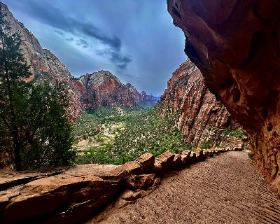
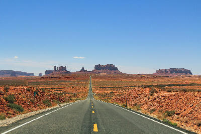
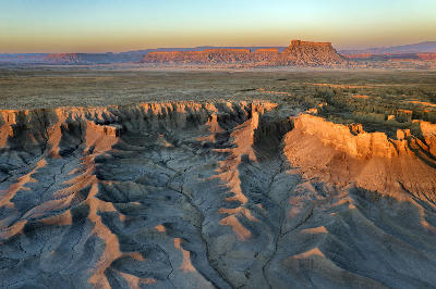
The Utah National Parks region forms part of the Colorado Plateau, a high desert landscape shaped by uplift and erosion. Horizontal rock layers have been exposed over time, revealing cliffs, fins, arches, and canyon systems. River systems, including tributaries of the Colorado River, have carved deep valleys and complex canyon networks through the plateau. Weathering processes continue to shape the landscape, creating distinctive formations across the region. The visual structure of the region is defined by the contrast between horizontal rock layers, vertical canyon walls, and open desert expanses, producing layered compositions across sandstone formations and wide landscapes.
Key photography subjects
- Sandstone arches and natural rock formations
- Deep canyon systems and river-carved valleys
- Mesas, buttes, and elevated plateaus
- Layered rock strata and cliff formations
- Desert plains and open arid landscapes
- Narrow slot canyons and sculpted rock corridors
- Seasonal light, colour variation, and desert atmosphere
Workshops in Utah National Parks
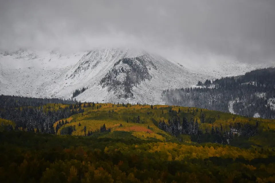
Colorado Fall Color Photography Art Retreat

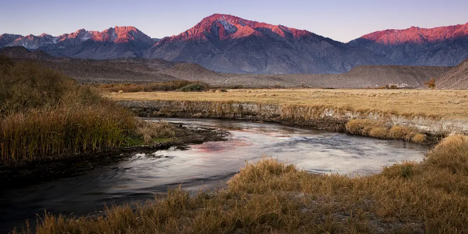
Autumn in Eastern Sierra

Oregon Coast Adventure Photography Workshop
Autumn in Utah Badlands