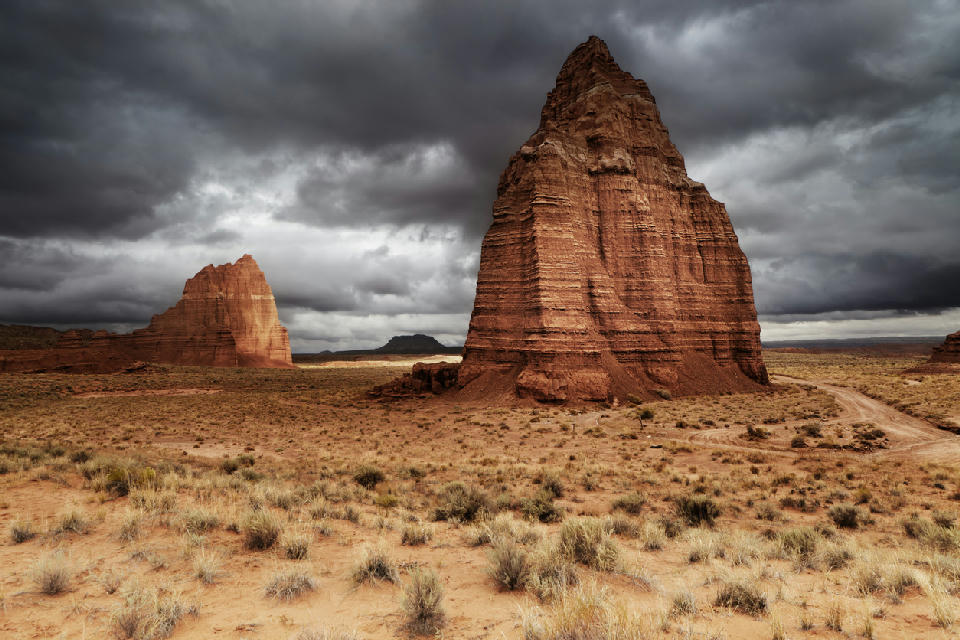
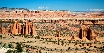
Temple of the Moon rising from the desert floor in Cathedral Valley, Capitol Reef National Park
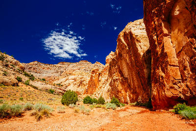
Capitol Reef National Park is a desert landscape in southern Utah defined by the Waterpocket Fold, a long geologic uplift that forms a continuous ridge system across the terrain. Unlike isolated or basin-based landscapes, the park is structured around a linear geological feature, where cliffs, domes, and valleys align along a single directional axis. Its spatial identity is defined by continuity rather than separation. The terrain transitions between parallel ridgelines, narrow canyon corridors, domed sandstone formations, and open desert valleys. Elevation changes occur along the fold, with cliffs and escarpments forming the primary structural boundaries across the landscape. Seasonal conditions influence surface contrast across rock layers, vegetation in valley floors, and atmospheric clarity. Light interacts strongly with the linear structure, emphasising direction, repetition, and form across the fold.
Gallery
Key POIs in Capitol Reef National Park
Nearby Places
View all on mapBurr Trail & Long Canyon
landmark — 18.1 km
Utah National Parks
Lower Calf Creek Falls
landmark — 35.2 km
Utah National Parks
Zebra Slot Canyon
landmark — 50.6 km
Utah National Parks
Escalante Petrified Forest
landmark — 50.8 km
Utah National Parks
Devil's Garden
landmark — 58.4 km
Utah National Parks
Peek-a-Boo & Spooky Slot Canyons
landmark — 64.9 km
Utah National Parks
Grand Staircase-Escalante
area district — 83.9 km
Utah National Parks
Lake Powell
water feature — 85.5 km
Arizona
Overview
Capitol Reef is structured as a continuous geological fold extending across the landscape. The Waterpocket Fold acts as the organising backbone, with terrain features aligned along its length rather than distributed across open space. Unlike Canyonlands’ vast separation or Bryce’s enclosed basins, Capitol Reef presents a directional landscape. Movement through the park follows the fold, revealing variations in rock formations, canyon openings, and valley systems along a single structural line. The visual structure is defined by alignment and flow. Cliffs, domes, and erosion features repeat along the fold, creating compositions that emphasise direction, continuity, and layered rock structure rather than isolated subjects or expansive depth.
Key photography subjects
- Linear ridgelines extending across the desert landscape
- Sandstone domes and cliffs aligned along the fold
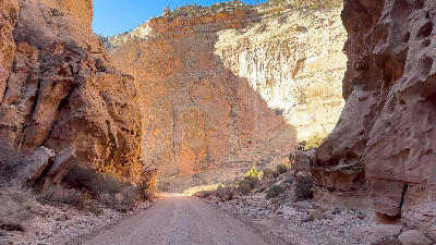
- Narrow canyon corridors cutting through ridge systems
- Layered rock bands following directional structure
- Valley floors beneath continuous escarpments
- Erosion features repeating along ridge lines
- Light defining direction across aligned terrain
Workshops in Capitol Reef National Park
Colorado Fall Color Photography Art Retreat

Autumn in Eastern Sierra

Oregon Coast Adventure Photography Workshop
Autumn in Utah Badlands