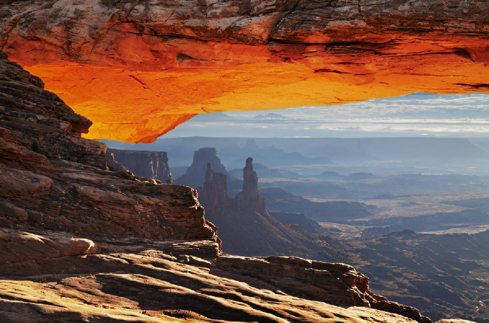
Mesa Arch framing canyon spires and layered desert landscape at sunrise, Canyonlands National Park, Utah
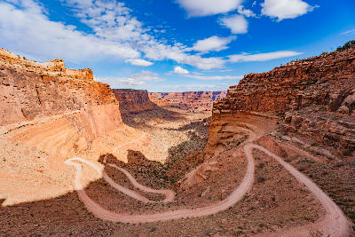
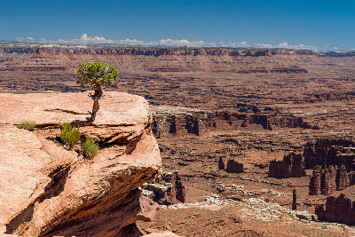
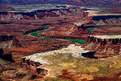
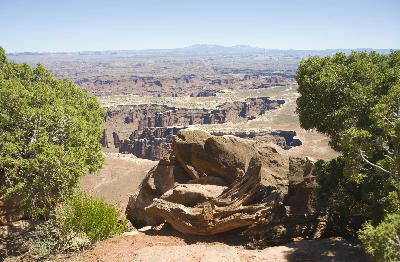
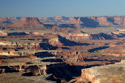
Canyonlands National Park is a large-scale desert landscape in southeastern Utah defined by deeply incised canyon systems, elevated mesas, and vast horizontal terrain carved by the Colorado and Green Rivers. The park is structured across multiple districts separated by canyon networks, where erosion has created expansive depth rather than isolated formations. Its spatial identity is defined by scale, distance, and layered terrain. The terrain transitions between high plateaus, sheer canyon walls, river corridors, and isolated buttes. Elevation changes occur through vertical drops into canyon systems, with upper surfaces remaining broad and relatively level compared to the depth below. Seasonal conditions influence visibility across distance, surface contrast on rock layers, and atmospheric clarity. Light and haze play a significant role in defining separation between foreground edges and distant landforms.
Gallery
Key POIs in Canyonlands National Park
Nearby Places
View all on mapTurret Arch
landmark — 69.6 km
Utah National Parks
Balanced Rock
landmark — 69.7 km
Utah National Parks
Double Arch
landmark — 70.0 km
Utah National Parks
The Windows
landmark — 71.0 km
Utah National Parks
Arches National Park
area district — 72.2 km
Utah National Parks
Landscape Arch
landmark — 76.7 km
Utah National Parks
Delicate Arch
landmark — 76.8 km
Utah National Parks
Waterpocket Fold
landmark — 100.7 km
Utah National Parks
Overview
Canyonlands is structured as a network of elevated districts divided by deep canyon systems. The Colorado and Green Rivers act as primary carving forces, creating large voids in the landscape that separate plateaus into distinct sections. Unlike subject-based landscapes, Canyonlands operates at a macro scale. Viewpoints are positioned along canyon rims, where compositions extend across multiple layers of terrain, often without a single dominant subject. The visual structure is defined by horizontal layering and depth. Mesas, buttes, and canyon walls recede into distance, creating compositions built on scale, repetition of landforms, and atmospheric separation.
Key photography subjects
- Canyon systems extending across large-scale terrain
- Elevated viewpoints overlooking layered mesas and buttes
- River corridors cutting through deep canyon networks
- Horizontal rock layers receding into distance
- Foreground edges dropping into vast canyon voids
- Isolated landforms within expansive terrain
- Atmospheric haze separating distant landscape layers
Workshops in Canyonlands National Park
Colorado Fall Color Photography Art Retreat

Autumn in Eastern Sierra

Oregon Coast Adventure Photography Workshop
Autumn in Utah Badlands