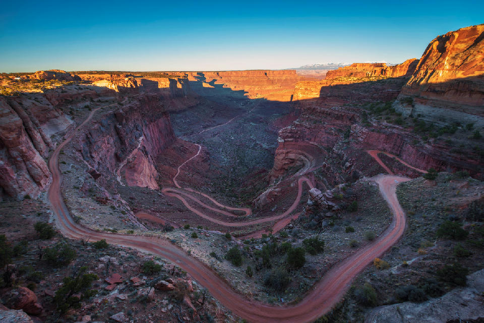
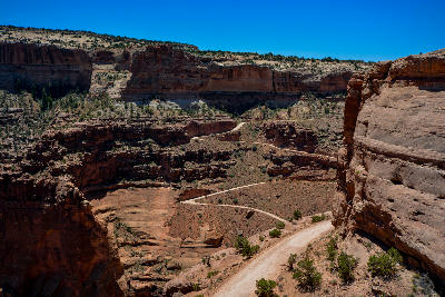
Shafer Canyon Overlook showing Shafer Trail descending through tight switchbacks and layered canyon walls, Canyonlands National Park, Utah
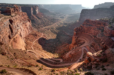
Shafer Canyon Overlook is a rim-edge viewpoint within Canyonlands, overlooking a steep canyon wall cut by a series of descending switchbacks forming the Shafer Trail. The road traces a defined path through layered rock, creating a visible route from the plateau into the canyon below. The composition resolves through the switchback pattern as it descends across the canyon face.
38.45353, -109.82121
Gallery

Quick Facts
Access
Roadside / Step-out
0–5 min
Elevation Gain
5 m
Best Light
Low-angle light defines the canyon wall and switchbacks, casting shadows that separate the road from surrounding rock layers.
Why This Light
Season
Weather-Dependent
Dry conditions provide clear visibility of the switchback route and stable access to the overlook. Rain can reduce visibility and affect road conditions within the canyon.
Crowds
Often Busy
Restrictions
Access requires entry to Canyonlands National Park; the overlook is directly accessible from a roadside parking area.