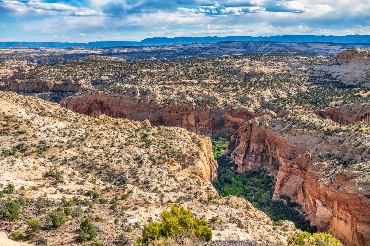
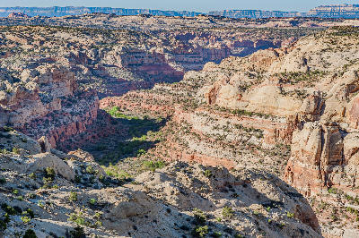
Vast sandstone canyons of Grand Staircase–Escalante National Monument, Utah, USA.
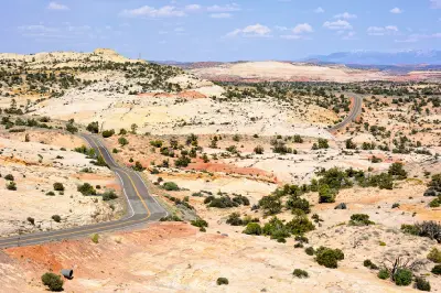
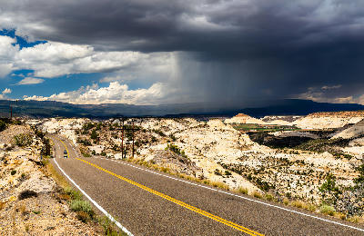
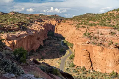
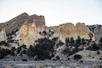
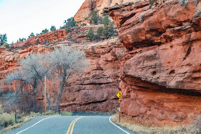
Grand Staircase–Escalante is a vast desert landscape in southern Utah defined by layered sandstone plateaus, deeply incised canyons, broad badlands and exposed rock formations. The region extends across a sequence of cliffs and terraces between the high plateaus of southern Utah and the lower desert surrounding the Escalante River. The terrain transitions between elevated mesas, stepped cliffs, open slickrock and narrow canyon systems. Rivers and seasonal streams have cut deeply into the sandstone, creating slot canyons, waterfalls and isolated formations across the desert interior. Seasonal rainfall and changing atmospheric conditions influence water flow, vegetation and visibility, while shifting sunlight reveals strong variations in sandstone colour, geological layering and surface texture.
Gallery
Key POIs in Grand Staircase-Escalante
Nearby Places
View all on mapAlstrom Point
landmark — 43.3 km
Arizona
Wahweap Overlook
landmark — 48.8 km
Arizona
Glen Canyon Dam Overlook
water feature — 54.0 km
Arizona
Bryce Amphitheater
landmark — 54.7 km
Utah National Parks
Bryce Canyon National Park
area district — 55.0 km
Utah National Parks
Page & Colorado River
area district — 55.5 km
Arizona
Inspiration Point
landmark — 55.5 km
Utah National Parks
Navajo Loop Trail
landmark — 55.5 km
Utah National Parks
Overview
Grand Staircase–Escalante is structured around a sequence of sedimentary rock layers rising from lower desert terrain towards the high plateaus of southern Utah. Successive cliffs, terraces and mesas form the Grand Staircase, while the Escalante River and its tributaries cut extensive canyon systems through the surrounding sandstone. Across the region, broad plateaus and slickrock surfaces give way to narrow slots, deep canyon corridors and isolated erosional formations. Long Canyon and the Burr Trail reveal large-scale cliff systems, while Devil’s Garden and the slot canyons show the landscape at a more enclosed scale. The visual structure of the region is defined by layered sandstone, canyon depth and expansive desert terrain. Warm rock surfaces contrast with pale badlands and sparse vegetation, while narrow canyon shadows and distant plateau layers create strong variations in colour, texture and scale.
Key photography subjects
- Layered sandstone cliffs and stepped plateaus
- Narrow slot canyons and sculpted sandstone walls
- Burr Trail and Long Canyon desert landscapes
- Devil’s Garden and isolated rock formations
- Slickrock, badlands and exposed geological layers
- Escalante River corridors, waterfalls and desert vegetation
- Canyon shadows and low-angle desert light