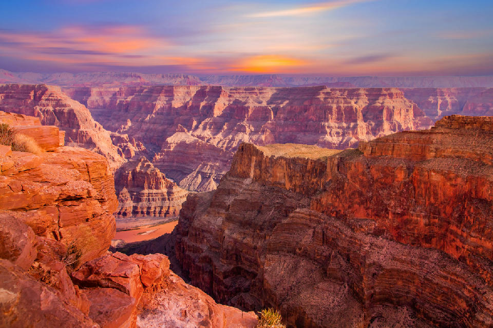
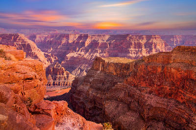
Grand Canyon (South Rim) at sunset, showing layered rock formations and the Colorado River below
Arizona is a desert and plateau landscape in the southwestern United States defined by canyon systems, sandstone formations, and elevated plateaus shaped by erosion and geological uplift. The state is structured across distinct terrain systems, where open desert basins, carved canyon networks, and rock formations create varied but interconnected landscapes. Its spatial identity is defined by contrast between horizontal expanses and deeply incised terrain. The terrain transitions between desert plains, sandstone buttes, canyon systems, and elevated plateau regions. Elevation varies across the state, with higher plateaus supporting forested terrain and lower basins forming open desert environments. Seasonal conditions influence visibility, atmospheric clarity, and surface contrast. Light plays a defining role across the landscape, shaping depth, shadow, and separation between rock formations and distant terrain.
Structured Map of Arizona
A connected view of the landscape, organised by regions, areas, and key locations.
Grand Canyon South Rim Viewpoints
landmark
Grand Canyon South Rim
area district
Lipan Point
landmark
Desert View
landmark
White Pocket
landmark
Vermilion Cliffs & Paria Plateau
area district
The Wave
landmark
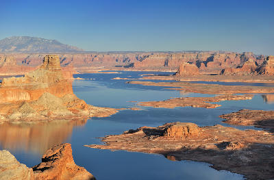
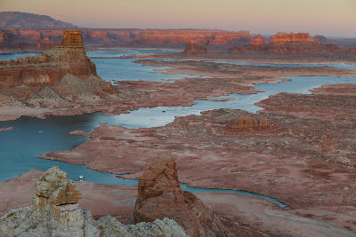
Lake Powell
water feature
Reflection Canyon
water feature
Page & Colorado River
area district
Alstrom Point
landmark
Wahweap Overlook
landmark
Glen Canyon Dam Overlook
water feature
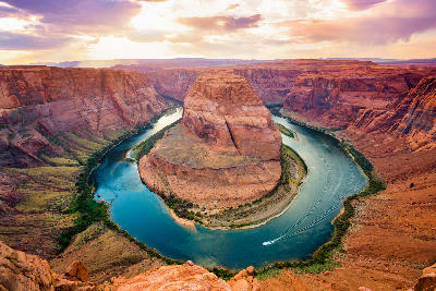
Horseshoe Bend
water feature
Lower Antelope Canyon
landmark
Upper Antelope Canyon
landmark
Antelope Canyon
area district
Canyon X
landmark
Hunts Mesa
landmark
Totem Pole
landmark
Monument Valley
area district
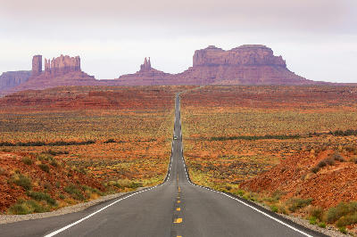
Monument Valley Navajo Tribal Park Scenic Drive
landmark
Areas in Arizona
Gallery
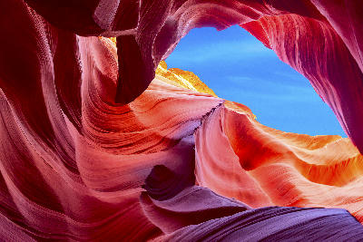

Overview
Arizona is structured around a combination of plateau landscapes and erosion-driven canyon systems. The Colorado Plateau dominates the northern portion of the state, where river systems have carved deep canyon networks into layered rock. Desert basins and sandstone formations define much of the central and southern regions, where terrain opens into broader, less confined environments. Rock structures such as buttes, mesas, and arches are distributed across the landscape, forming distinct compositional subjects. The visual structure is defined by the relationship between open terrain and carved depth. Large-scale formations and canyon systems create compositions built on scale, separation, and geological layering.
Key photography subjects
- Canyon systems carved into layered plateau terrain
- Sandstone buttes rising from open desert plains
- Horizontal rock layers extending across wide landscapes
- Isolated formations within expansive terrain
- River corridors cutting through canyon systems
- Elevated plateaus overlooking deep terrain
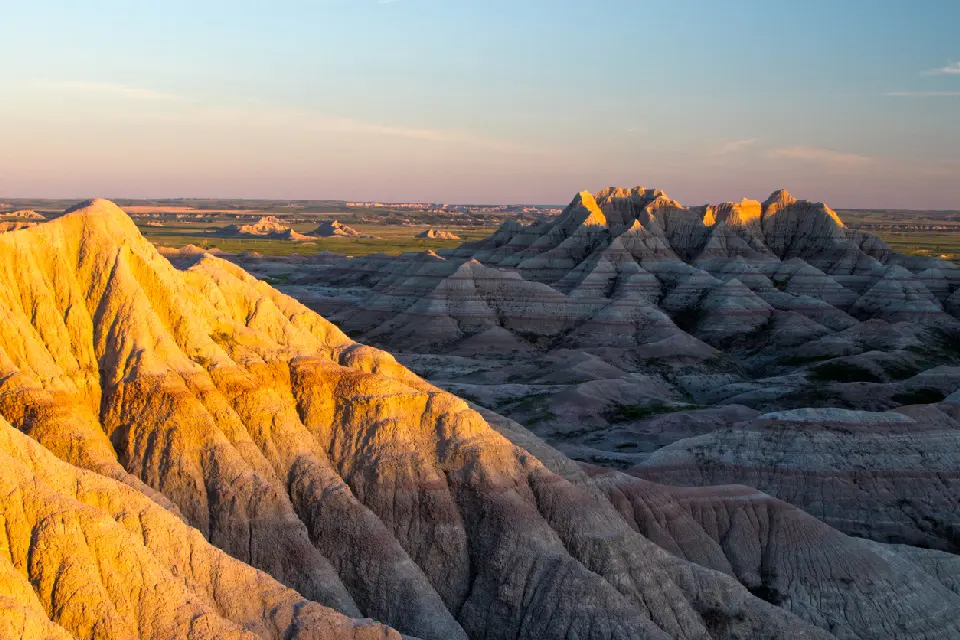
- Light defining depth across rock and desert surfaces
Workshops in Arizona
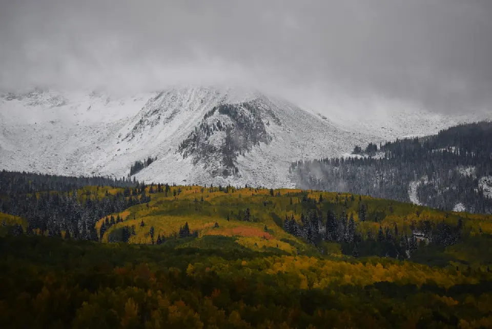
Colorado Fall Color Photography Art Retreat

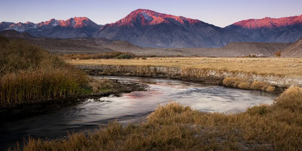
Autumn in Eastern Sierra

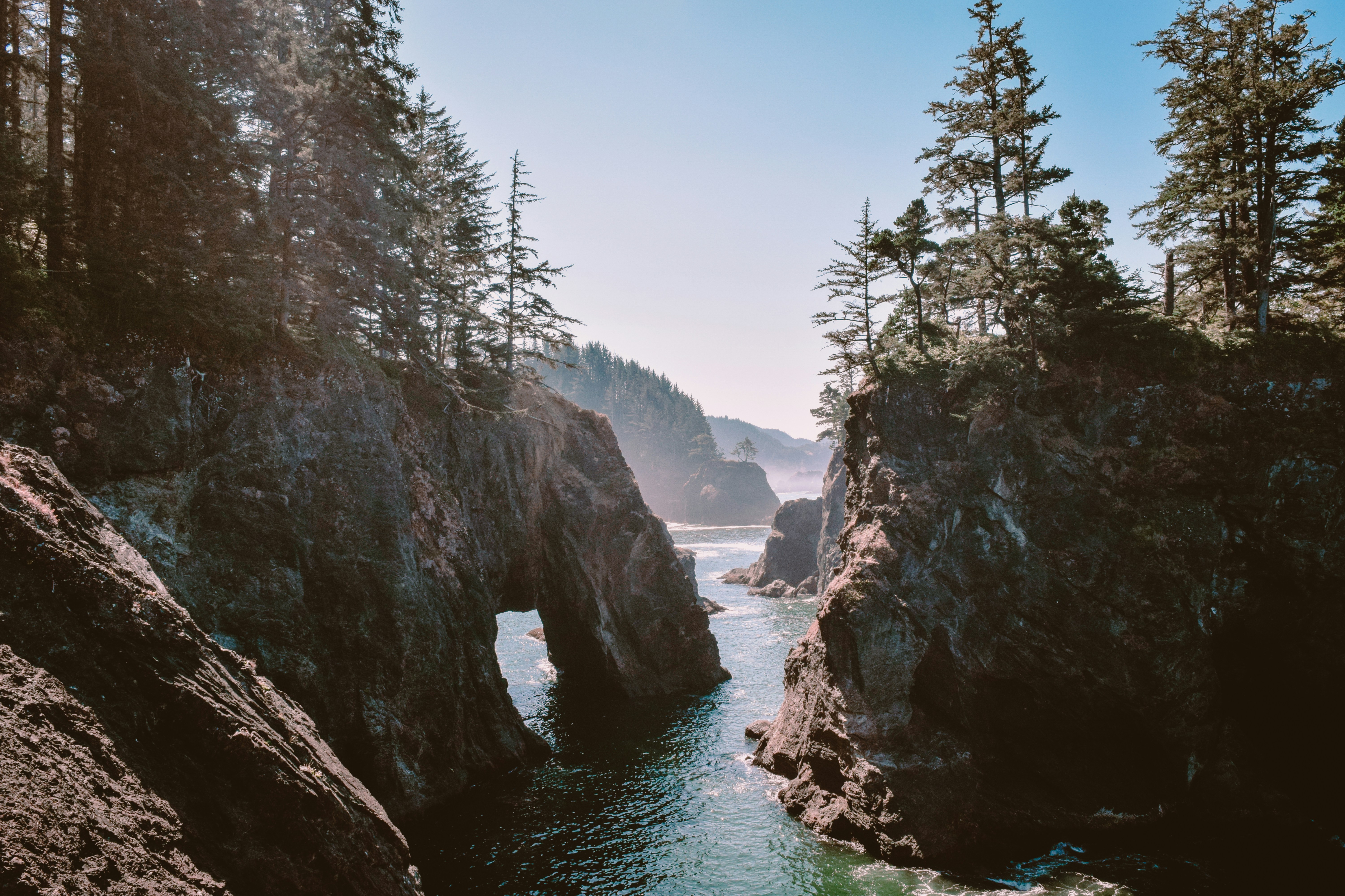
Oregon Coast Adventure Photography Workshop
Autumn in Utah Badlands