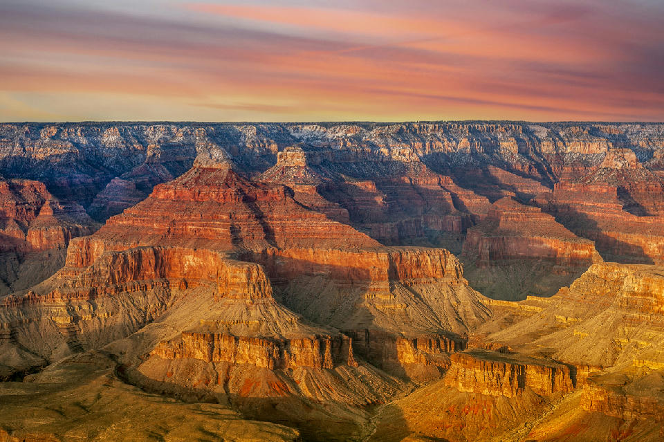
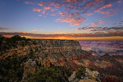
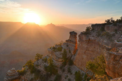
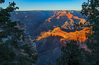
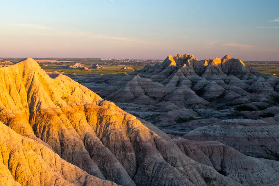
Golden hour light reveals the stepped sandstone layers and distant buttes of the Grand Canyon South Rim, one of the most accessible and expansive viewpoints into the canyon system
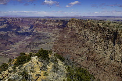
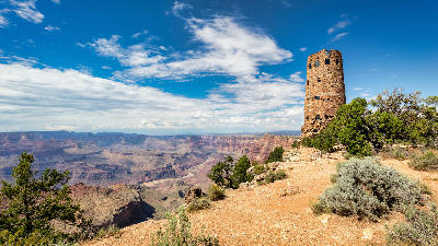
The Grand Canyon South Rim is an elevated plateau edge in northern Arizona defined by expansive canyon depth, layered rock formations, and continuous rim-level viewpoints overlooking the Colorado River system. The landscape is structured by erosion over geological time, where horizontal rock strata have been exposed and carved into a vast canyon network. Its spatial identity is defined by depth, layering, and distance rather than isolated formations. The terrain transitions between flat plateau surfaces, sheer canyon walls, descending rock layers, and river corridors far below. Elevation change is expressed vertically through the canyon system, with the rim acting as a consistent viewing plane above the landscape. Seasonal conditions influence visibility across distance, atmospheric clarity, and light interaction with rock layers. Low-angle light defines separation between foreground edges and distant canyon walls, while haze influences depth perception across the landscape.
Gallery
Key POIs in Grand Canyon South Rim
Nearby Places
View all on mapWhite Pocket
landmark — 101.6 km
Arizona
The Wave
landmark — 104.6 km
Arizona
Vermilion Cliffs & Paria Plateau
area district — 104.6 km
Arizona
Horseshoe Bend
water feature — 105.8 km
Arizona
Canyon X
landmark — 107.4 km
Arizona
Antelope Canyon
area district — 108.0 km
Arizona
Upper Antelope Canyon
landmark — 110.9 km
Arizona
Glen Canyon Dam Overlook
water feature — 111.5 km
Arizona
Overview
The South Rim is structured as a continuous edge along the canyon system, where viewpoints are positioned above deeply incised terrain. The Colorado River and its tributaries have carved through the plateau, exposing horizontal rock layers that step downward into the canyon. Unlike subject-based landscapes, the South Rim operates across scale. There is no single focal point — compositions extend across multiple layers of terrain, often spanning large distances within a single frame. The visual structure is defined by horizontal layering and vertical drop. Foreground rim edges frame the composition, while successive canyon walls recede into the distance, creating depth through repetition and atmospheric separation.
Key photography subjects
- Layered canyon walls receding into distance
- Rim-edge foregrounds dropping into deep canyon space
- Horizontal rock strata defining stepped terrain
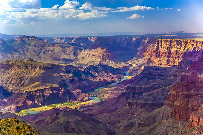
- River corridors far below canyon structure
- Repeating canyon forms across large-scale landscapes
- Atmospheric haze separating distant layers
- Low-angle light revealing depth across canyon walls
Workshops in Grand Canyon South Rim
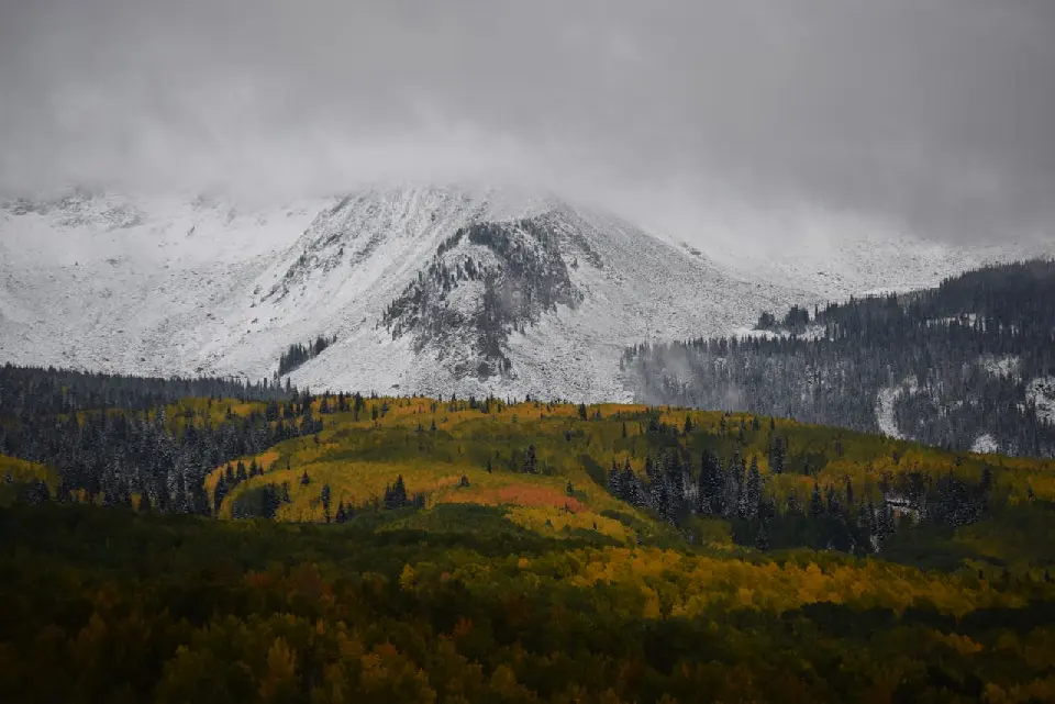
Colorado Fall Color Photography Art Retreat

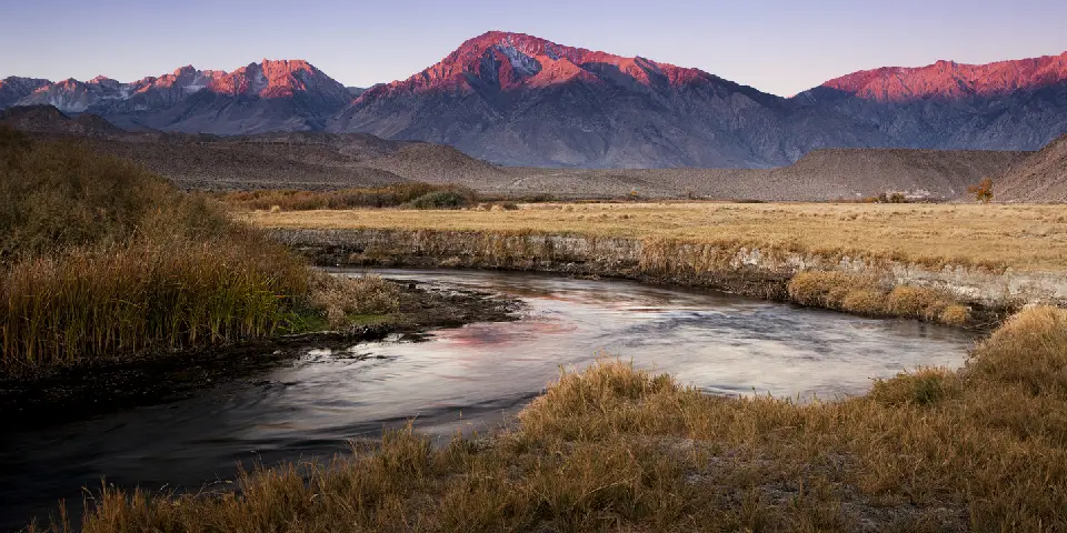
Autumn in Eastern Sierra

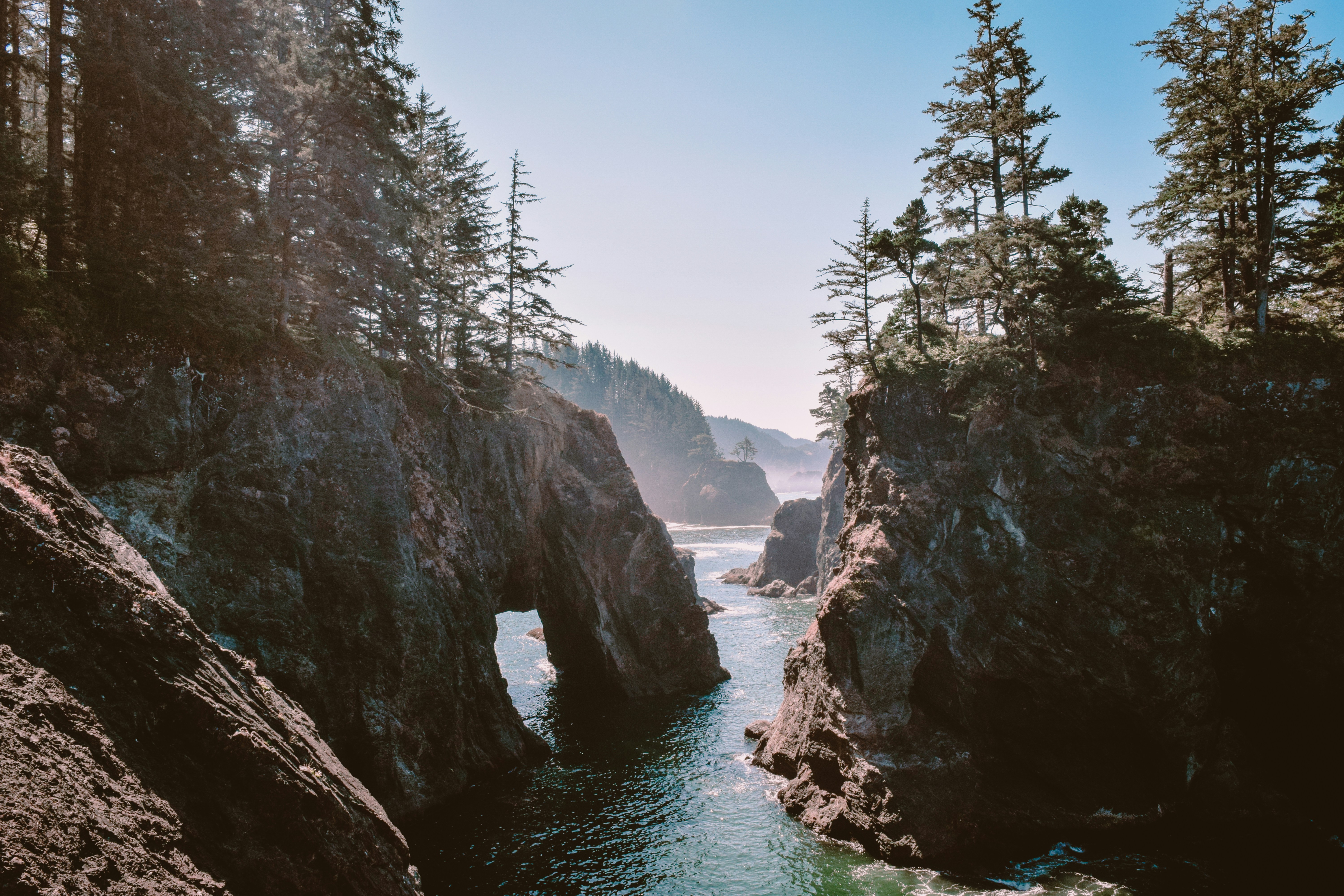
Oregon Coast Adventure Photography Workshop
Autumn in Utah Badlands