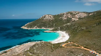
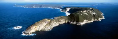
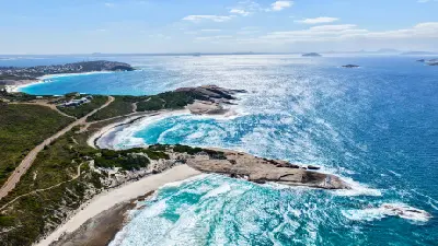
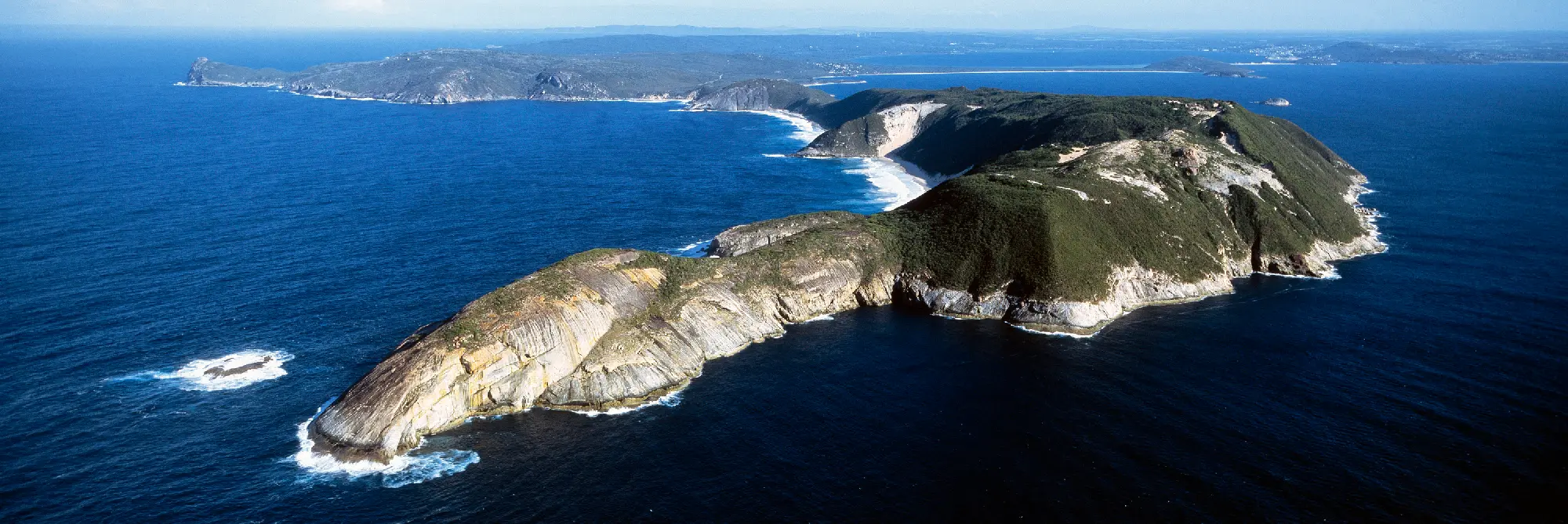
Aerial view of Bald Head, rugged coastal headlands and beaches surrounded by the Southern Ocean near Albany, Western Australia.

    Bald Head stretches into the Southern Ocean near Albany, its rugged granite headlands, sweeping beaches and wild coastline capturing the scale of Southwest Australia.

    Southwest Australia

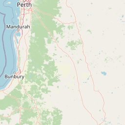
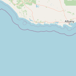
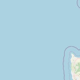
    Southwest Australia forms a diverse landscape in the southern corner of Western Australia, defined by rugged ocean coastlines, granite headlands, tall forests and sheltered agricultural valleys. The region extends from the Margaret River coast through the forests around Pemberton and Walpole to Albany, Denmark and the granite coastline farther east.

    The terrain transitions between limestone and granite coasts, rolling farmland, river valleys and extensive karri forest. Rocky headlands and exposed beaches face the Southern and Indian oceans, while inland forests, wetlands and agricultural landscapes create a contrasting greener environment.

    Seasonal rainfall influences forest growth, river systems and coastal vegetation, while changing weather and ocean conditions contribute to shifts in colour, texture and atmospheric clarity throughout the year.

    Geographic discovery

    Explore Southwest Australia by Area

    Choose a part of Southwest Australia to discover its landscapes, photographic character, and locations.

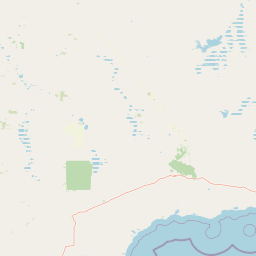
    Open interactive Explore

    Explore Areas in Southwest Australia

    Open in Explore
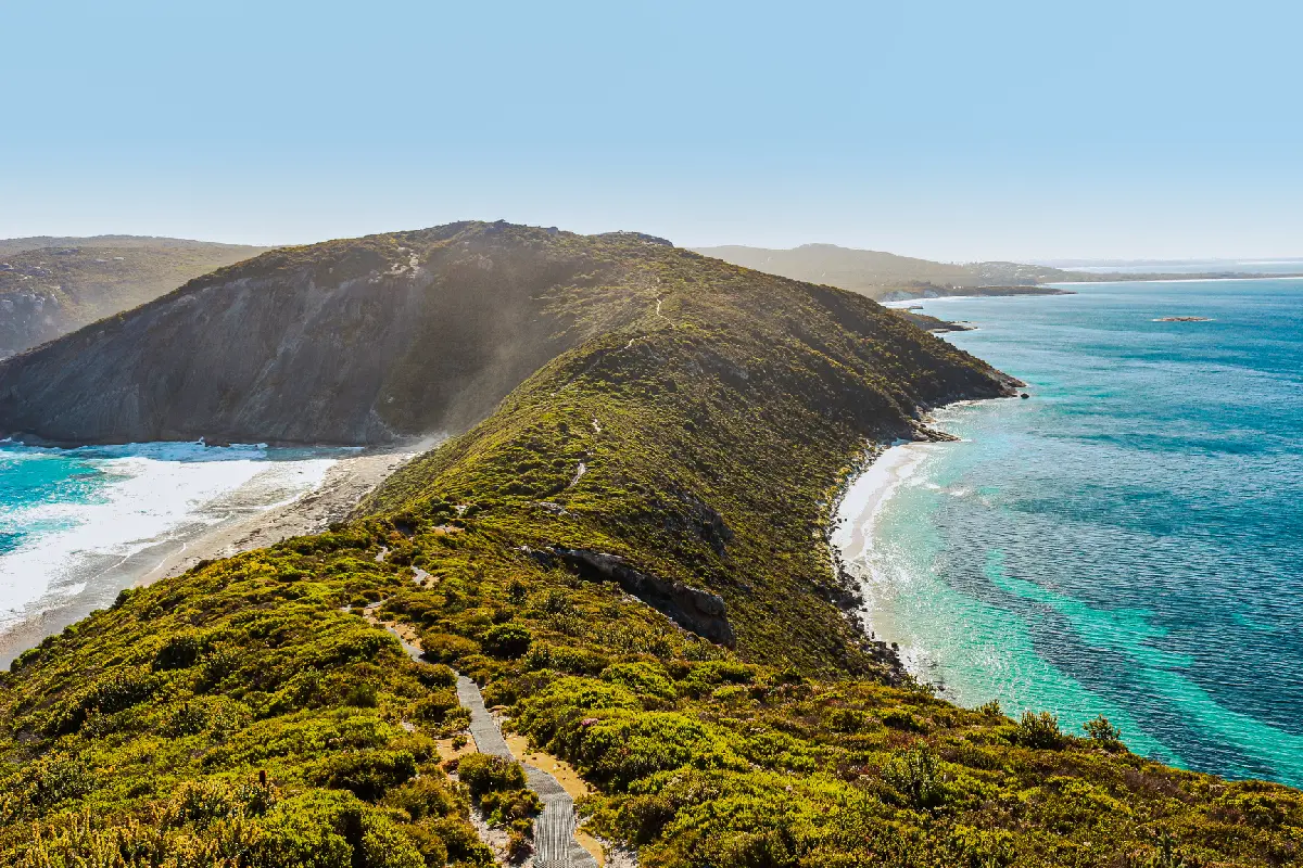
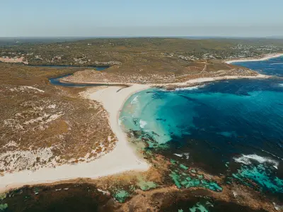
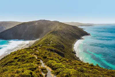
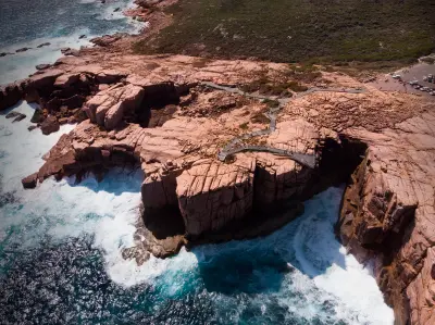
    Bald Head walking trail crossing a coastal ridge between turquoise bays near Albany, Western Australia.

    Denmark & Albany

    The Denmark and Albany coastline is structured around ancient granite formations extending into the Southern Ocean as headlands, islands and offshore rocks. Between these formations, erosion and sediment deposition have created sheltered coves and pale beaches, producing a coastline that alternates between protected water and exposed ocean terrain. Around Denmark, Greens Pool and Elephant Rocks combine clear shallow water with massive rounded granite formations. Farther east, Albany's coastline becomes more rugged around Torndirrup National Park, where The Gap and Natural Bridge reveal fractured coastal rock shaped by persistent Southern Ocean swell. The visual structure of the region is defined by the contrast between granite, white sand and intensely coloured coastal water. Sheltered bays provide clean compositions of rock and turquoise water, while exposed headlands introduce cliffs, breaking surf, offshore formations and rapidly changing Southern Ocean weather.

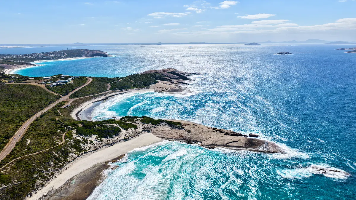
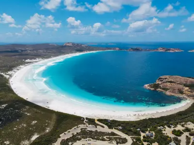
    Great Ocean Drive winds between white-sand coves and granite headlands along the Esperance coastline, with the islands of the Recherche Archipelago scattered across the Southern Ocean.

    Esperance & Cape Le Grand

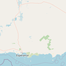
    The Esperance and Cape Le Grand coastline is structured around ancient granite formations separated by broad beaches, sheltered bays and open stretches of Southern Ocean. Around Esperance, long arcs of pale sand follow a relatively accessible coast, while farther east Cape Le Grand introduces larger granite massifs and more strongly enclosed bays. Within Cape Le Grand National Park, Frenchman Peak rises prominently above the surrounding coastal plain, while Lucky Bay and Hellfire Bay sit between granite headlands and rocky slopes. Offshore, the Recherche Archipelago extends the same geological landscape into the ocean as a scattered system of islands and exposed rock formations. The visual structure of the region is defined by the contrast between white sand, turquoise water and weathered granite. Elevated viewpoints reveal sweeping coastal curves and offshore islands, while beaches and headlands provide simpler compositions shaped by clear water, exposed rock and rapidly changing Southern Ocean light.

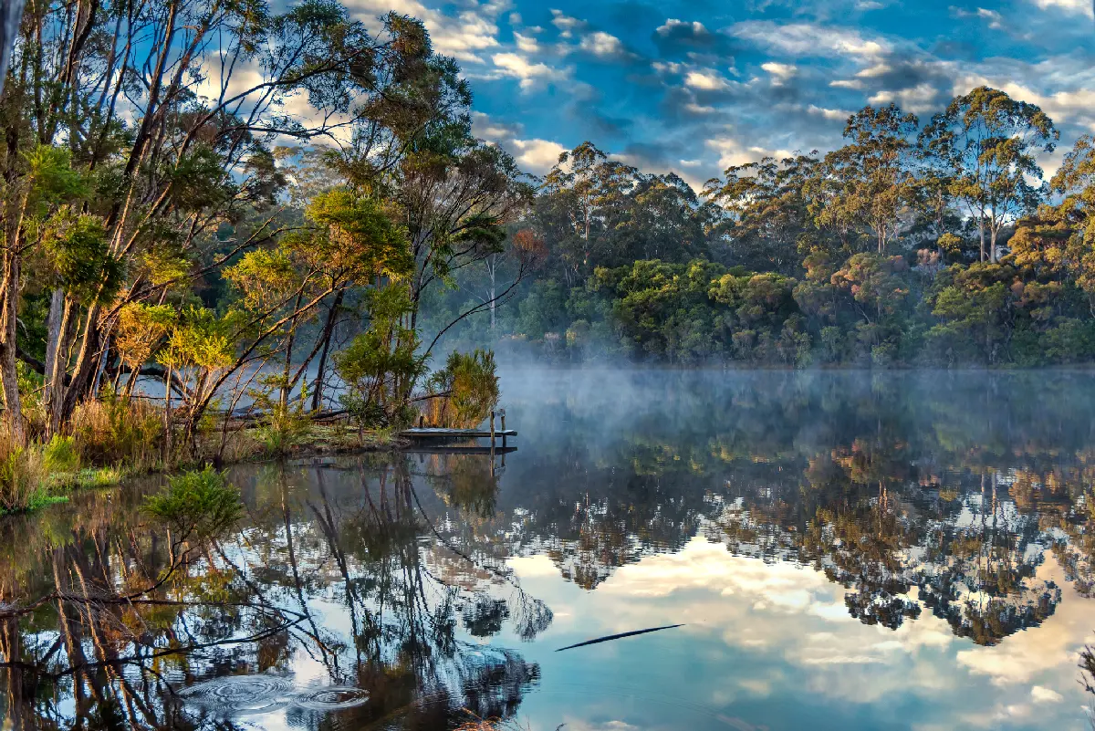
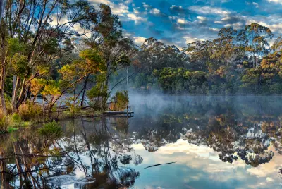
    Mist over a forest-fringed lake near Pemberton in the Karri Forests of Western Australia.

    Karri Forests

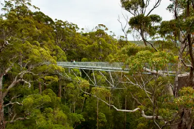
    The Karri Forests are structured around the high-rainfall landscapes of Pemberton, Northcliffe and Walpole, where karri trees form some of Australia's tallest forests. Dense stands occupy valleys and uplands, while rivers, wetlands and smaller forest systems create natural corridors through the wooded landscape. Around Pemberton, Warren National Park combines mature karri forest with the Warren River, while Beedelup Falls introduces cascades and wet forest vegetation. Farther south, the Valley of the Giants and surrounding Walpole forests contain ancient red tingle trees distinguished by enormous trunks and buttressed forms. The visual structure of the region is defined by vertical scale, layered vegetation and enclosed forest environments. Tall trunks create repeating patterns through the canopy, while winding roads, waterways, mist and filtered light introduce depth and changing atmospheric conditions.

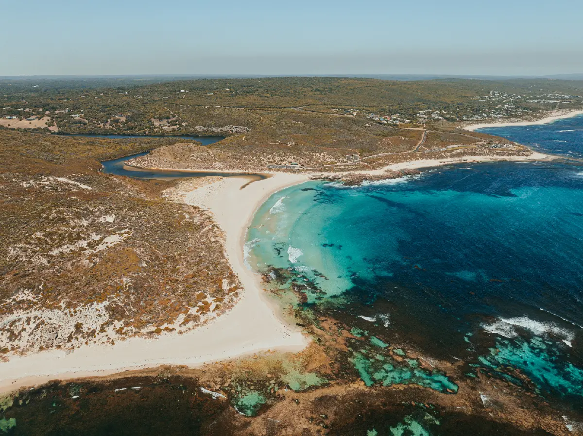
    Aerial view of white beaches, rocky reefs and turquoise water along the Margaret River coast, Western Australia.

    Margaret River & Cape Coast

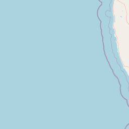
    Margaret River and the Cape Coast are structured around the Leeuwin-Naturaliste ridge and the coastline extending between Cape Naturaliste and Cape Leeuwin. Exposed headlands, surf beaches and rocky formations line the Indian Ocean, while Busselton and Geographe Bay provide a more sheltered coastal environment to the north. Inland, limestone cave systems including Lake Cave and Mammoth Cave lie beneath forested terrain, while vineyards and agricultural landscapes occupy the surrounding countryside. Boranup Karri Forest introduces tall native forest close to the coast, creating a strong transition between marine and inland environments. The visual structure of the region is defined by the relationship between ocean, forest and agricultural land. Sugarloaf Rock, Canal Rocks and exposed headlands provide strong coastal forms, while caves, karri forest and vineyard landscapes broaden the photographic character inland.

    Photographic journey

    Southwest Australia Photography Route

    Southwest Australia Route · 25 stops

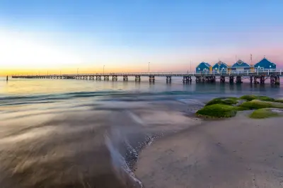
    Busselton Jetty extending across calm water at sunset, with its blue buildings and a pastel sky over Geographe Bay.01

    Busselton Jetty

    Busselton Jetty is a historic timber jetty extending approximately 1.8 km into the sheltered waters of Geographe Bay in southwest Western Australia. The long structure carries a narrow-gauge tourist train and terminates near an underwater observatory, with open water and coastline visible along its length. Repeating pylons, strong leading lines and the jetty's scale provide opportunities for architectural, coastal and long-exposure photography.

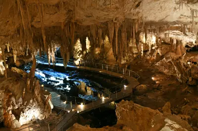
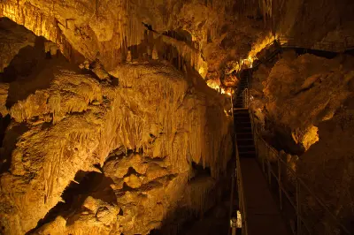
    Stalactites and limestone formations surrounding an illuminated walkway inside Mammoth Cave near Margaret River, Western Australia.06

    Mammoth Cave

    Mammoth Cave is a large limestone cave within the Leeuwin-Naturaliste cave system south of Margaret River. A self-guided route descends through substantial chambers containing stalactites, stalagmites and other limestone formations before emerging into the surrounding karri forest. The scale of the chambers, intricate formations and contrast between illuminated rock and darkness provide opportunities for geological, detail and low-light photography.

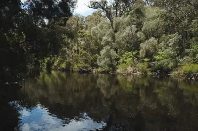
    Warren River reflecting dense forest along its banks in Warren National Park, Western Australia.11

    Warren National Park

    Warren National Park protects a dense karri forest south of Pemberton, centred on the Warren River as it winds through a deeply forested valley. Tall karri trees rise above an understorey of ferns and shrubs, with walking trails and viewpoints providing access to the river and surrounding forest. Towering trunks, layered vegetation and the enclosed river corridor provide opportunities for forest, landscape and detail photography.

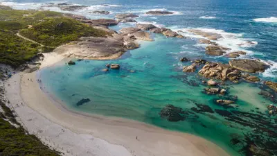
    Aerial shot looking down at the white sandy shoreline, emerald waters, and scattered rock formations of Greens Pool.15

    Greens Pool

    Greens Pool is a sheltered coastal swimming pool on the southern edge of William Bay National Park, near Denmark in Western Australia. Large granite boulders surround the white-sand beach and reduce the Southern Ocean swell reaching the pool. The combination of rounded granite, shallow turquoise-green water, white sand and open coastal surroundings provides varied compositions from the beach, rocks and elevated access areas.

    Aerial view of Little Beach, turquoise water, white sand, granite hills and beach access at Two Peoples Bay near Albany, Western Australia.20

    Little Beach

    Little Beach is a sheltered white-sand beach within Two Peoples Bay Nature Reserve east of Albany, enclosed by granite headlands and rounded boulders. A short path descends from the visitor area to pale sand and clear turquoise water, with granite formations extending into the bay at either end. The compact shoreline, coloured water and sculpted granite provide opportunities for coastal, abstract and long-exposure photography.

    Aerial view of Lucky Bay’s white-sand beach, turquoise water and granite headlands in Cape Le Grand National Park, Western Australia.25

    Lucky Bay

    Lucky Bay is a broad white-sand beach within Cape Le Grand National Park near Esperance, bordered by granite headlands and clear turquoise water. The sweeping bay is known for its exceptionally pale sand and western grey kangaroos that are frequently seen along the beach and surrounding vegetation. White shoreline, intensely coloured water, granite terrain and wildlife provide opportunities for coastal, aerial and wildlife photography.

    Explore the Full Southwest Australia Route25 stops across Southwest Australia

    Overview

    Southwest Australia is structured around a broad transition between forested interior landscapes and an extensive southern and western coastline. Margaret River combines agricultural country with limestone headlands and surf beaches, while the southern forests contain some of Australia's tallest karri trees and dense temperate vegetation.

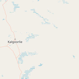
    Farther south, the coastline around Denmark and Albany is characterised by granite formations, sheltered bays and exposed Southern Ocean headlands. East towards Esperance, pale beaches, turquoise water and granite peaks create a more open coastal landscape adjoining increasingly dry inland terrain.

    The visual structure of the region is defined by the contrast between forest, farmland and ocean. Tall karri forests and rolling agricultural landscapes provide enclosed and layered compositions inland, while granite headlands, beaches and exposed coastal formations create broader landscapes along the southern coast.
    Key Photography Subjects

    • Margaret River coastline and limestone headlands
    • Karri forests and towering native trees
    • Denmark and Albany granite coastlines
    • Southern Ocean cliffs and exposed headlands
    • Esperance beaches and turquoise coastal water
    • Agricultural valleys, vineyards and rolling farmland
    • Forest light, coastal weather and changing seasonal colour

    Gallery

    Workshops in Southwest Australia

    No upcoming workshops scheduled for Southwest Australia at this time.

    Check back soon or explore other destinations.