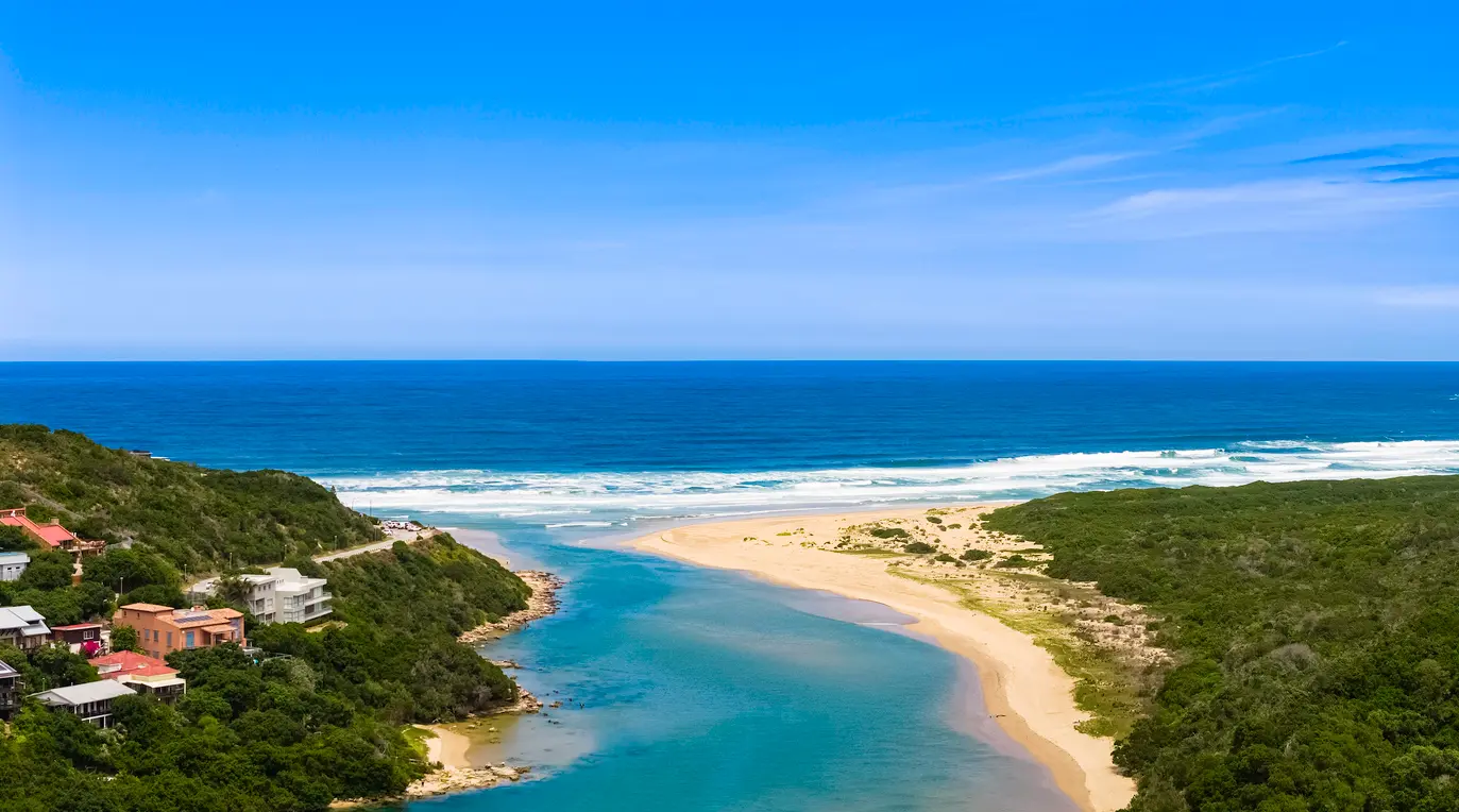
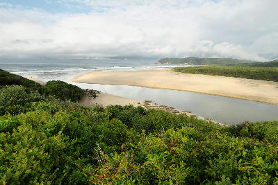
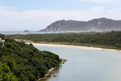
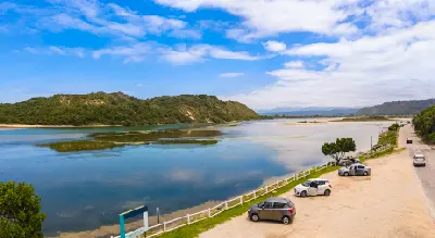
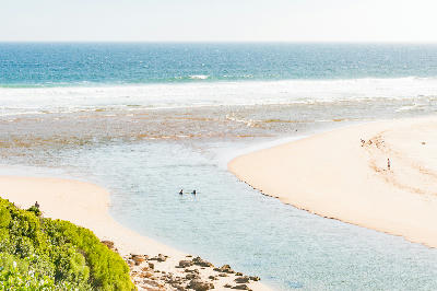
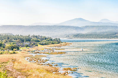
The Swartvlei Mouth connects the Swartvlei Estuary to the Indian Ocean, creating a striking landscape of blue water channels, sandbanks and coastal dunes near Sedgefield.
Swartvlei Estuary is the dynamic coastal outlet of the Swartvlei lake system near Sedgefield, where shifting channels, sandbanks, dunes, and tidal waters create one of the Garden Route's most distinctive estuarine landscapes. The combination of calm estuary water, broad sandy margins, and coastal scenery provides a diverse range of photographic opportunities throughout the year.
-34.02056, 22.77506
Gallery
Quick Facts
Access
Roadside / Step-out
0–5 min
Elevation Gain
5 m
Best Light
Low-angle light enhances sandbank patterns, reflective water surfaces, and the contrast between dunes, estuary channels, and surrounding vegetation.
Why This Light
Season
Weather-Dependent
Summer typically brings calmer water conditions and clearer reflections across the estuary. Winter often introduces changing water levels, stronger weather systems, and more atmospheric coastal conditions.
Crowds
Usually Quiet
Restrictions
Water levels, channel positions, and sandbank formations can vary naturally throughout the year.