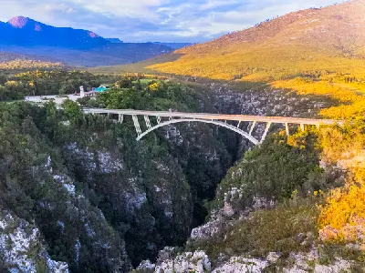
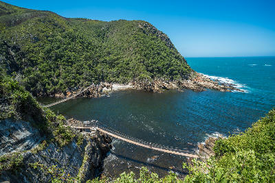
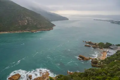
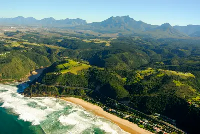
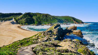
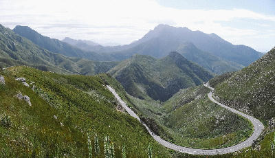
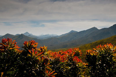
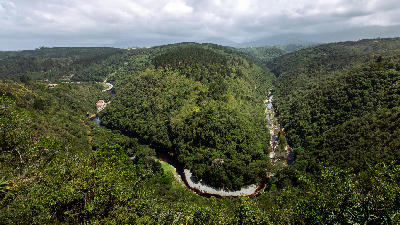
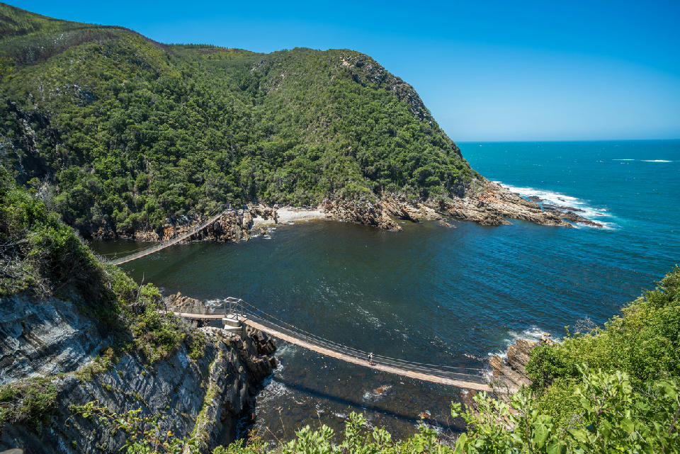
Suspension bridges crossing Storms River Mouth beneath forested cliffs and rugged coastline in Tsitsikamma National Park, Garden Route, South Africa.

    Storms River Mouth combines indigenous forest, dramatic cliffs and suspension bridges where the river meets the Indian Ocean in Tsitsikamma National Park.

    Garden Route

    The Garden Route is South Africa’s most celebrated coastal landscape region, where forests, mountains, lagoons, rivers, beaches, and dramatic ocean scenery combine along one of the country's most scenic stretches of coastline.

    Stretching between Mossel Bay and Storms River, the region brings together an extraordinary variety of landscapes within a relatively compact area. Ancient indigenous forests meet rugged cliffs, sheltered estuaries open onto wide beaches, and mountain ranges rise directly behind the coast to create constantly changing scenery along the route.

    While many visitors experience the Garden Route as a road trip, it is far more than a single driving route. The region contains a collection of distinct landscapes, each with its own photographic character, from coastal wilderness and marine environments to forests, lagoons, mountains, and river systems.

    Geographic discovery

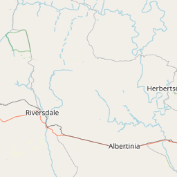
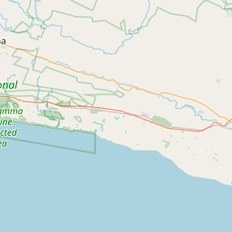
    Explore Garden Route by Area

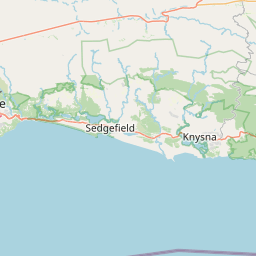
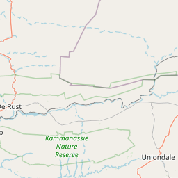
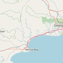
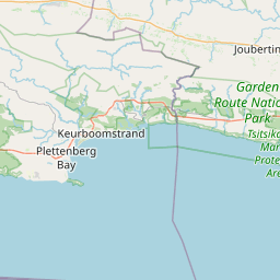
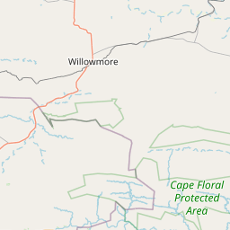
    Choose a part of the Garden Route to discover its landscapes, photographic character, and locations.

    Open interactive Explore

    Explore Areas in Garden Route

    Open in Explore
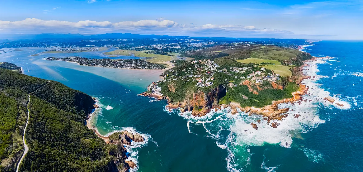
    Aerial view of Knysna Heads showing the rocky headlands, ocean entrance and expansive Knysna Lagoon beyond on South Africa’s Garden Route.

    Knysna & Lagoon Forests

    The Knysna region occupies a unique position within the Garden Route where freshwater river systems, indigenous forests, estuarine environments, and coastal marine processes converge. The landscape is structured around the Knysna Lagoon, a large tidal estuary extending inland from the Indian Ocean through a narrow rocky entrance known as the Knysna Heads. Surrounding the lagoon are extensive indigenous forests that form part of the larger Garden Route forest ecosystem. Forested hills, rocky headlands, sheltered bays, tidal channels, and estuarine islands create an exceptionally varied landscape with strong visual contrasts between water, woodland, and coastline. Photographically, the region works through layering, atmosphere, and elevation. Elevated viewpoints reveal complex relationships between lagoon, forest, estuary, and ocean, while shoreline locations provide opportunities for reflections, changing tides, mist, and dramatic coastal weather. The interaction between water and forest is a defining visual characteristic throughout the region.

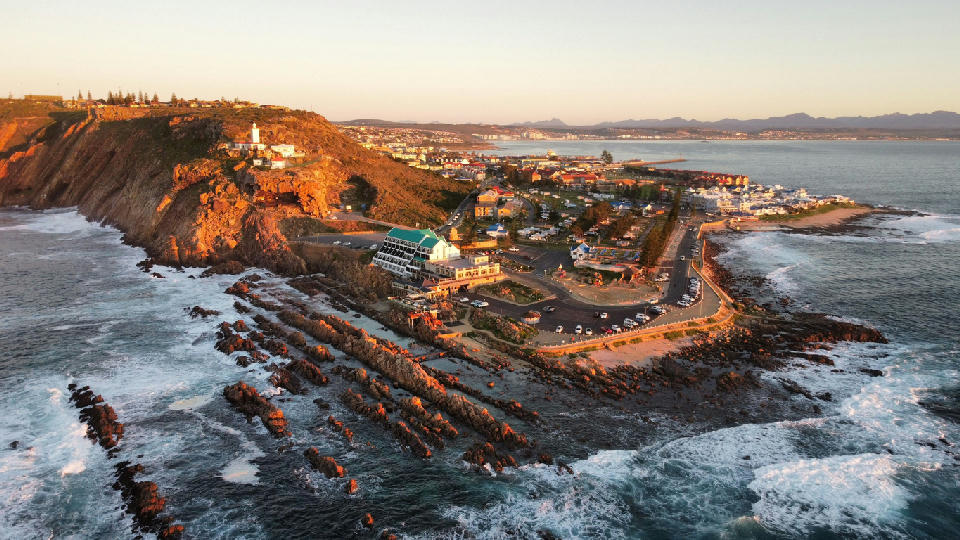
    Aerial view of Mossel Bay coastline and St. Blaize Lighthouse at sunset on the Garden Route, South Africa

    Mossel Bay & Pinnacle Point

    Mossel Bay occupies a prominent position where the Southern Cape coastline begins its transition into the landscapes of the Garden Route. Rocky headlands, elevated coastal ridges, sandy bays, and exposed ocean viewpoints create a landscape characterised by openness, scale, and constant interaction with the sea. Photographically, the area is defined by coastal drama. Clifftop viewpoints provide expansive views across the Indian Ocean, while rocky shorelines, tidal zones, beaches, and harbour environments create opportunities for a wide variety of coastal compositions. Pinnacle Point adds another dimension, combining spectacular ocean-facing cliffs with one of the most important archaeological landscapes in southern Africa. The region experiences constantly changing conditions throughout the year. Passing weather systems, sea mist, dramatic cloud formations, and changing ocean conditions continually reshape the appearance of the coastline. Early morning and late afternoon light are particularly rewarding, bringing warmth and texture to the cliffs, headlands, and surrounding bays.

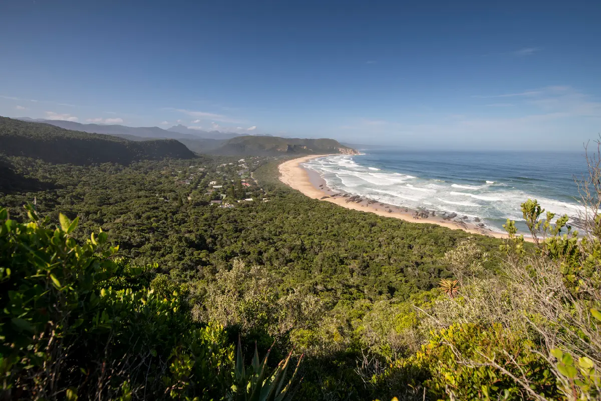
    Panoramic view of Nature's Valley beach, coastal forest and Indian Ocean on the Garden Route in South Africa.

    Nature's Valley & Bloukrans

    The landscape is formed by a network of forested valleys, mountain slopes, river gorges, and estuarine environments extending between Nature's Valley and the Bloukrans River. Dense indigenous forest dominates much of the terrain, while steep escarpments and deeply eroded valleys create a rugged wilderness character throughout the region. Major river systems play a defining role in shaping the landscape. The Groot River forms a broad estuarine environment near the coast, while the Bloukrans River cuts through a dramatic gorge system beneath the Tsitsikamma Mountains. Together these waterways create natural corridors linking mountain landscapes with coastal ecosystems. Photographically, the area works through depth, atmosphere, and layering. Forested valleys create strong visual structure across wider scenes, while rivers, gorges, and elevated viewpoints provide focal points within the landscape. Light plays a major role, with mist, filtered forest light, and changing weather conditions shaping colour, texture, and mood throughout the year.

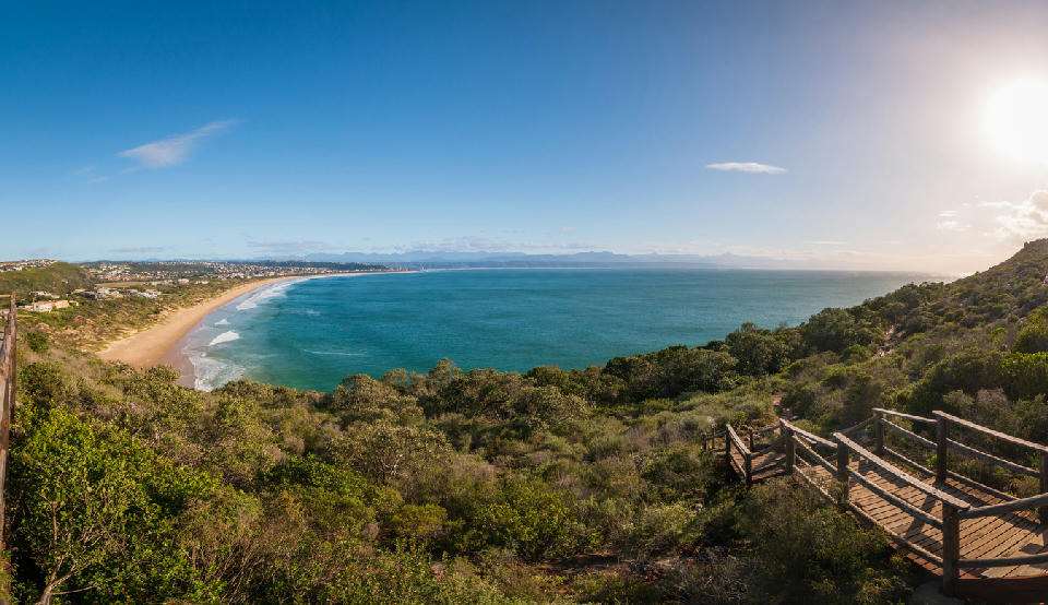
    Panoramic view of Plettenberg Bay from Robberg Peninsula overlooking Solar Beach and the Garden Route coastline in South Africa.

    Plettenberg Bay & Robberg

    The Plettenberg Bay region occupies one of the most scenic sections of South Africa's southern coastline. The landscape is structured around broad sandy bays, elevated coastal ridges, rocky shoreline formations, estuarine systems, and the prominent Robberg Peninsula that extends dramatically into the Indian Ocean. The region contains an exceptional variety of coastal environments. Long sandy beaches provide sweeping shoreline vistas, while cliffs and rocky headlands create elevated viewpoints overlooking the ocean. Offshore marine habitats support dolphins, whales, seals, and seabirds, making the coastline one of the most ecologically significant marine environments along the Garden Route. Photographically, the area works through scale, movement, and contrast. Beaches provide strong leading lines and open compositions, while cliffs, headlands, and peninsula viewpoints introduce structure and elevation. Ocean conditions, changing weather systems, and low-angle coastal light continually reshape the appearance of the landscape.

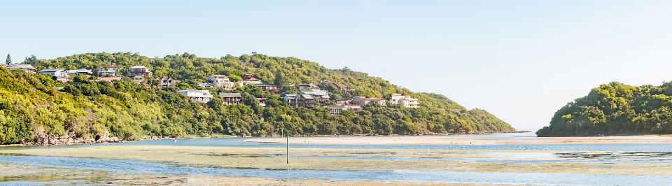
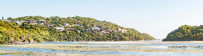
    Swartvlei Estuary and lagoon channels near Sedgefield on the Garden Route, South Africa

    Sedgefield & Coastal Lakes

    The Sedgefield region occupies a transition zone between the freshwater landscapes of Wilderness and the lagoon systems of Knysna. The landscape is formed by a network of estuaries, lakes, wetlands, dune fields, and coastal waterways that extend through the Goukamma and Swartvlei systems. Water dominates nearly every aspect of the scenery. Estuarine channels wind through reed beds, lake systems expand across low-lying basins, and coastal dunes create natural barriers between inland water bodies and the Indian Ocean. These interacting landscape elements generate a remarkable diversity of habitats and visual environments within a relatively compact area. Photographically, the region excels through layering, atmosphere, and reflection. Calm water surfaces create foreground interest, while reed beds, sandbanks, tidal channels, and distant coastal hills add depth and structure. Morning mist, changing tides, storm systems, and seasonal vegetation ensure that conditions remain dynamic throughout the year.

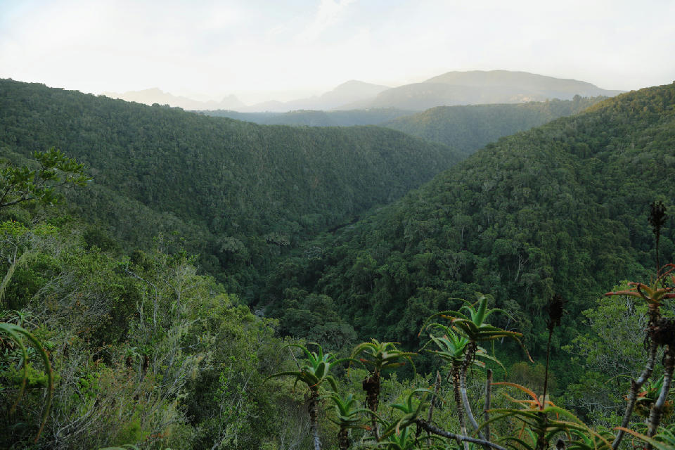
    Panoramic view across the forested valleys of Tsitsikamma, where dense indigenous woodland stretches between mountain ridges in South Africa's Garden Route.

    Tsitsikamma & Storms River

    The landscape is formed by a combination of indigenous forest, steep river valleys, mountain slopes, and rugged coastline extending across the eastern Garden Route. Dense forest covers much of the terrain while rivers carve deep gorges through the mountains before reaching the Indian Ocean. Major natural systems converge throughout the region. The Storms River cuts through a dramatic canyon before entering the sea, while elevated ridgelines, coastal cliffs, and forested slopes create strong visual structure across the landscape. Together these environments create one of the most intact coastal wilderness systems in South Africa. Photographically, the area works through contrast, scale, and atmosphere. Forest, rivers, coastline, and mountains provide diverse subjects within a relatively compact landscape, while mist, changing weather, and filtered forest light create mood and depth throughout the year. Elevated viewpoints, suspension bridges, river gorges, and rocky coastline provide strong focal points within wider compositions.

    Aerial panorama of Wilderness showing sandy beaches, estuary, forested hills and the Outeniqua Mountains on South Africa's Garden Route.

    Wilderness & Lakes

    The Wilderness region occupies a unique position between the Outeniqua Mountains and the Indian Ocean, where rivers, estuaries, lakes, wetlands, forests, and coastal dunes combine to form an intricate network of interconnected landscapes. The area includes some of the most important freshwater systems along South Africa's southern coastline. Photographically, the region offers exceptional variety. Calm waterways provide reflections and leading lines, while wetlands and reed beds introduce texture and seasonal variation throughout the landscape. Forested slopes create depth behind rivers and lakes, and elevated viewpoints reveal the complex relationship between mountains, water, and coastline that defines the region. Weather and atmosphere are fundamental to the character of Wilderness. Morning mist often settles over rivers and lakes, changing weather systems move rapidly across the mountains, and calm conditions create mirror-like reflections on the water. These constantly changing conditions ensure the landscape rarely appears the same twice.

    Photographic journey

    Garden Route Photography Route

    Garden Route · 41 stops

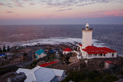
    Cape St. Blaize Lighthouse overlooking the Indian Ocean at sunset in Mossel Bay, South Africa01

    Cape St Blaize Lighthouse

    Cape St Blaize Lighthouse stands on a prominent coastal headland overlooking Mossel Bay and the Indian Ocean. The historic lighthouse combines maritime heritage with dramatic cliff-top scenery and panoramic views across one of South Africa's most important coastal landscapes.

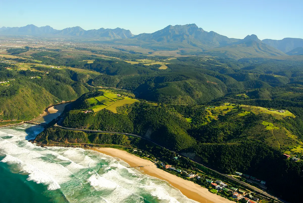
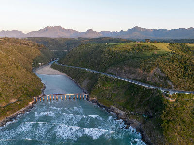
    Aerial view of the Kaaimans River Mouth and historic railway bridge near Wilderness, where the river meets the Indian Ocean along South Africa's Garden Route.09

    Kaaimans River Mouth

    Kaaimans River Mouth is the point where the Kaaimans River meets the Indian Ocean along the Garden Route east of Wilderness. The river mouth is characterised by a narrow estuary, rocky headlands, coastal cliffs, and one of South Africa's most recognisable railway bridges. The combination of river, ocean, and dramatic coastal topography creates a distinctive landscape within the Wilderness region.

    Swartvlei Estuary and lagoon channels near Sedgefield on the Garden Route, South Africa17

    Sedgefield & Coastal Lakes

    The Sedgefield region occupies a transition zone between the freshwater landscapes of Wilderness and the lagoon systems of Knysna. The landscape is formed by a network of estuaries, lakes, wetlands, dune fields, and coastal waterways that extend through the Goukamma and Swartvlei systems. Water dominates nearly every aspect of the scenery. Estuarine channels wind through reed beds, lake systems expand across low-lying basins, and coastal dunes create natural barriers between inland water bodies and the Indian Ocean. These interacting landscape elements generate a remarkable diversity of habitats and visual environments within a relatively compact area. Photographically, the region excels through layering, atmosphere, and reflection. Calm water surfaces create foreground interest, while reed beds, sandbanks, tidal channels, and distant coastal hills add depth and structure. Morning mist, changing tides, storm systems, and seasonal vegetation ensure that conditions remain dynamic throughout the year.

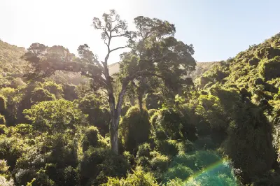
    Giant yellowwood tree towering above dense indigenous forest in the Knysna Forests near Nature's Valley on South Africa's Garden Route.25

    Knysna Forests

    Knysna Forests form part of the largest remaining indigenous forest complex in South Africa, extending across the southern Cape interior beyond the Knysna coastline. Ancient yellowwood trees, dense forest canopies, and deeply shaded valleys define the character of this landscape. The forests create a distinct contrast to the nearby lagoon and coastal environments that dominate the wider region.

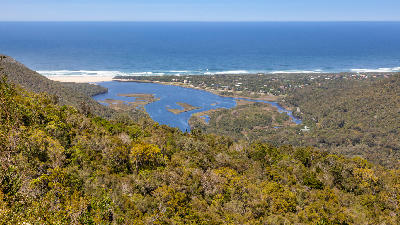
    Aerial view of Groot River Estuary and Nature's Valley on South Africa's Garden Route.33

    Groot River Estuary

    The Groot River Estuary is one of the defining landscape features of Nature's Valley, where the Groot River widens into an extensive estuarine system before reaching the Indian Ocean. Surrounded by indigenous forest, wetlands, dunes, and coastal hills, the estuary forms a diverse photographic landscape that combines freshwater, coastal, and wilderness environments within a single location.

    Drone view of the Storms River Bridge crossing the deep Storms River Gorge in the Tsitsikamma region of South Africa.41

    Storms River Bridge

    Storms River Bridge is a dramatic road bridge spanning the deep gorge of the Storms River along the Garden Route. Constructed high above the river, the bridge crosses a steep canyon surrounded by indigenous forest and rugged cliffs. Its elevated position provides one of the most recognisable viewpoints in the Tsitsikamma region and highlights the dramatic topography of the landscape.

    Explore the Full Garden Route41 stops across the Garden Route

    Overview

    The Garden Route occupies a unique position along South Africa's southern coastline, where the Indian Ocean meets a landscape of forests, mountains, wetlands, rivers, and coastal plains. The interaction between ocean, climate, and topography has created one of the most diverse and visually varied regions in the country.

    Photographically, the Garden Route offers exceptional diversity. Coastal cliffs, rocky shorelines, estuaries, forests, mountain passes, lakes, beaches, and marine environments all occur within a relatively short distance of one another. The region is particularly well known for landscapes where water and mountains interact, creating layered compositions that combine ocean, forest, and elevated terrain within a single scene.

    Light and weather are defining elements throughout the year. Coastal mist, passing storms, dramatic cloud formations, and changing ocean conditions constantly reshape the appearance of the landscape. Sunrise and sunset often produce exceptional conditions along the coast, while forests and mountain valleys offer opportunities throughout the day.
    Key Photography Subjects

    • Rugged coastline, cliffs, and ocean viewpoints
    • Indigenous forests and wilderness landscapes
    • Lagoons, estuaries, and river systems
    • Long sandy beaches and coastal scenery
    • Mountain ranges rising behind the coastline
    • Coastal storms, mist, and changing weather conditions
    • Wildlife and marine environments
    • Light and atmosphere across forest and ocean landscapes

    Gallery

    Workshops in Garden Route

    No upcoming workshops scheduled for Garden Route at this time.

    Check back soon or explore other destinations.