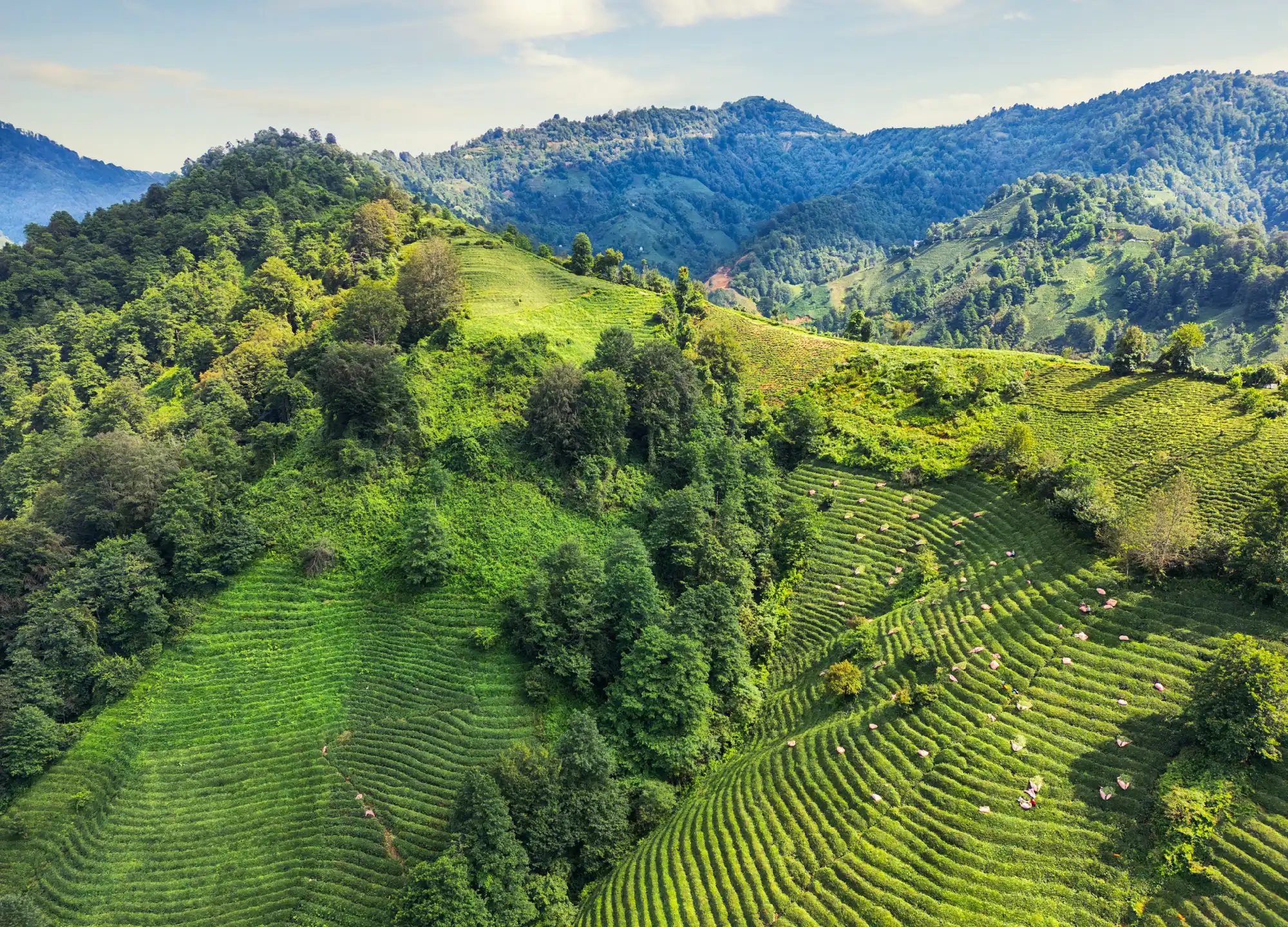
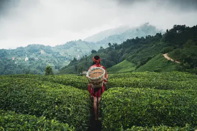
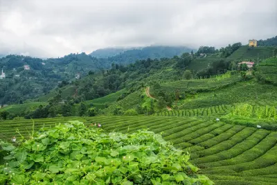
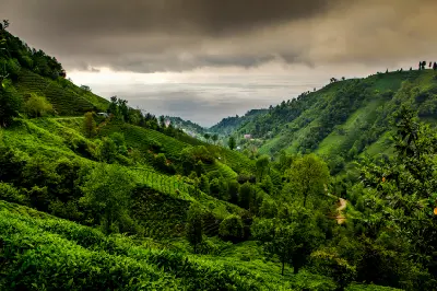
Tea fields sweep across the steep green mountain slopes of Rize Province in Turkey’s Black Sea region.
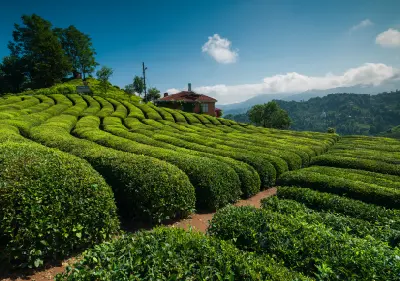
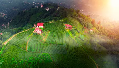
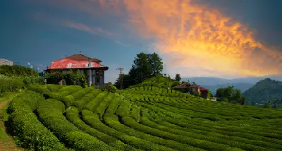
Rize and its surrounding tea country form one of Turkey’s most distinctive cultivated landscapes, where intensely green plantations cover the steep foothills rising from the eastern Black Sea. Tea fields, forested valleys, rivers, villages, and distant mountain ridges create a densely layered landscape shaped by both agriculture and the region’s exceptionally humid climate. Tea cultivation spreads across hillsides around Rize and into the valleys extending towards the Kaçkar Mountains. Small settlements, farmhouses, narrow roads, and patches of native forest are woven between the plantations, while places such as Çeçeva display the geometric patterns created by tea bushes planted across steep and irregular terrain. Abundant rainfall and frequent cloud give the region its characteristic saturated greenery. Mist regularly moves through the valleys and across the surrounding ridges, while changing seasons, harvesting cycles, and shifting light continually alter the colour and texture of the cultivated hillsides.
Gallery
Key POIs in Rize & Tea Country
Nearby Places
View all on mapPalovit Waterfall
water feature — 23.7 km
Black Sea Mountains
Pokut Plateau
landmark — 25.7 km
Black Sea Mountains
Ayder Plateau
landmark — 31.9 km
Black Sea Mountains
Kaçkar Mountains
area district — 42.0 km
Black Sea Mountains
Uzungöl Lake
landmark — 58.8 km
Black Sea Mountains
Sümela Monastery
landmark — 98.2 km
Black Sea Mountains
Trabzon Highlands
area district — 103.5 km
Black Sea Mountains
Hamsiköy
landmark — 112.1 km
Black Sea Mountains
Overview
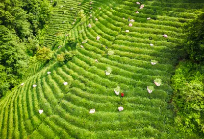
The landscape around Rize is shaped by the exceptionally wet climate of Turkey’s eastern Black Sea coast, where mountains rise rapidly behind a narrow coastal plain. Warm, humid conditions and abundant rainfall provide an ideal environment for tea cultivation, which has transformed large areas of the lower mountain slopes into a distinctive patchwork of plantations, villages, forest, and deeply incised river valleys. Tea fields follow the contours of the terrain rather than forming broad level plantations. Rows of closely planted bushes curve around hillsides, climb steep slopes, and surround scattered houses and rural roads. Beyond the cultivated zone, dense forests and increasingly rugged valleys lead towards the higher Kaçkar Mountains, creating a strong transition from agricultural landscape to mountain wilderness. Photographically, the region is defined by pattern, colour, atmosphere, and the relationship between people and cultivated land. Repeating rows of tea bushes create strong graphic compositions, particularly from elevated viewpoints, while harvesting activity adds a human and documentary element. Mist, rain, low cloud, and intermittent sunlight frequently transform the valleys, softening distant ridges and producing layers of green that are among the defining visual characteristics of the eastern Black Sea.
Key photography subjects
- Tea plantations covering steep green hillsides
- Geometric tea rows and cultivated landscape patterns
- Tea harvesting and traditional agricultural activity
- Rural villages, farmhouses, and winding hillside roads
- Mist-filled valleys and layered Black Sea mountain ridges
- Rivers, waterfalls, forests, and humid subtropical vegetation
- Seasonal greenery, changing weather, and atmospheric light
Workshops in Rize & Tea Country
No upcoming workshops scheduled for Rize & Tea Country at this time.
Check back soon or explore other destinations.