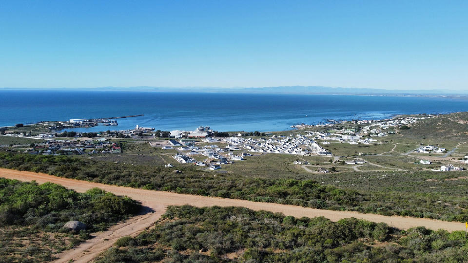
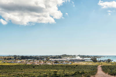
An elevated view across St Helena Bay reveals the harbour, whitewashed coastal neighbourhoods and the calm Atlantic waters that define one of the West Coast's largest fishing centres.
St Helena Bay is one of South Africa's largest natural bays, known for its fishing industry, sheltered waters, coastal settlements, and expansive ocean views. The bay forms the heart of the central West Coast and combines working harbour activity with broad coastal landscapes and distinctive West Coast scenery.
-32.75833, 18.02778
Gallery
Quick Facts
Access
Roadside / Step-out
0–5 min
Elevation Gain
10 m
Best Light
Public access is available from multiple viewpoints, roads, and coastal areas throughout the bay.
Why This Light
Season
Weather-Dependent
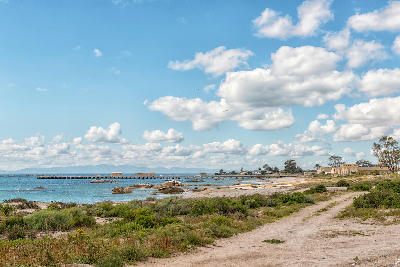
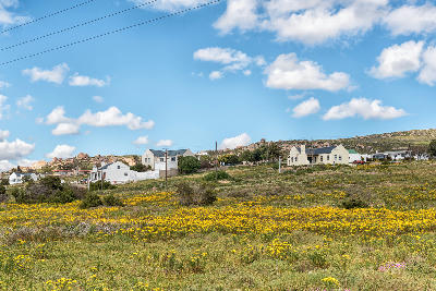
Conditions vary throughout the year, with summer bringing calmer seas and clearer visibility, while winter often produces changing weather, dramatic cloud formations, and more atmospheric coastal scenes.
Crowds
Usually Quiet
Restrictions
Public access is available from multiple viewpoints, roads, and coastal areas throughout the bay.