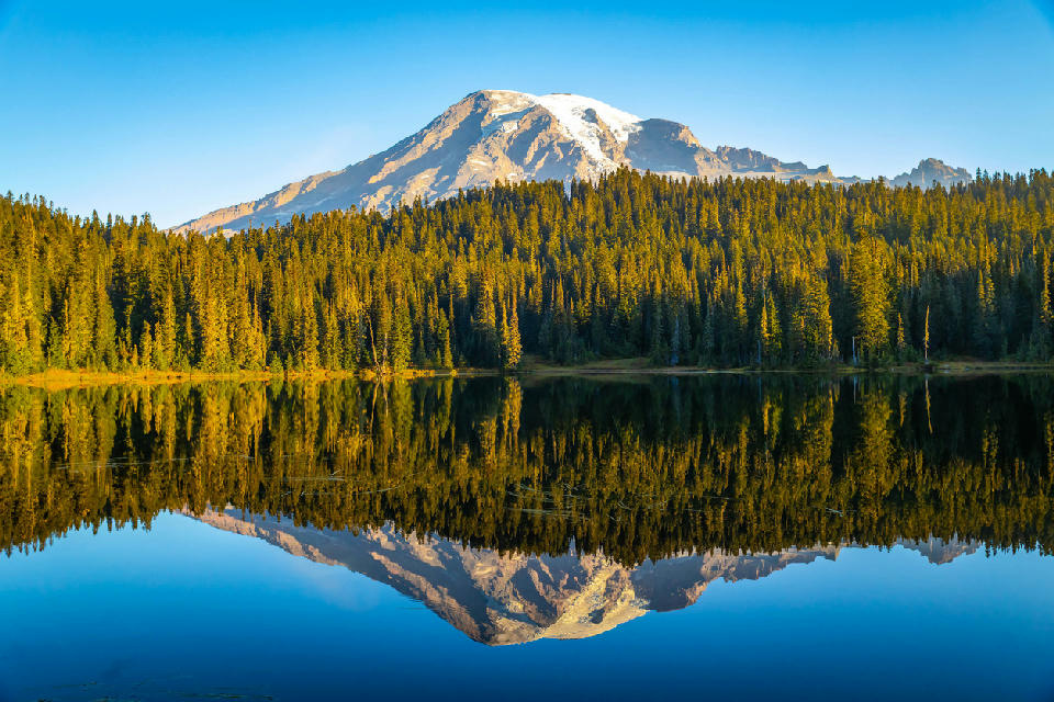
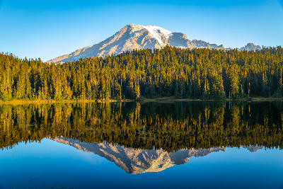
Mount Rainier reflects symmetrically in the still waters of Reflection Lakes, with forested shoreline forming a clean midground beneath the snow-covered volcanic peak.
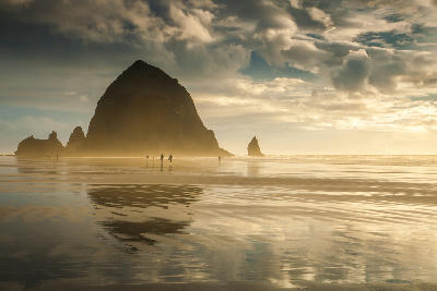
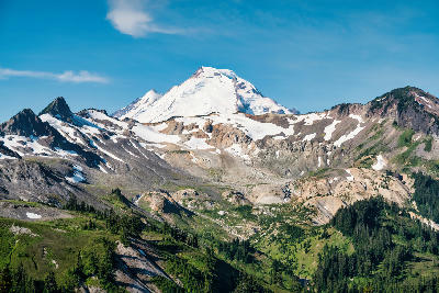
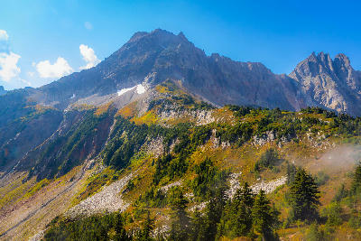
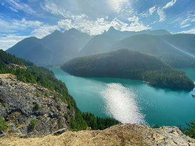
The Pacific Northwest is a coastal and mountain region in the northwestern United States defined by temperate rainforests, volcanic peaks, rugged coastline, and glacially shaped terrain. The landscape is structured by the interaction between ocean systems, mountain ranges, and dense forest environments, creating a continuous transition from coastline to alpine terrain. Its spatial identity is defined by moisture, vertical layering, and environmental density. The terrain transitions between rocky coastlines, forested lowlands, river systems, and high volcanic mountains. Elevation increases inland from sea level to alpine environments, while vegetation remains dense across much of the region due to high precipitation. Seasonal conditions influence visibility, water flow, and atmospheric presence. Fog, mist, and cloud cover play a central role in shaping contrast, softening distant features while emphasising foreground texture and depth.
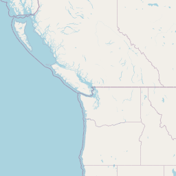
Structured Map of Pacific Northwest
A connected view of the landscape, organised by regions, areas, and key locations.





Harris Beach State Park
landmark
Lone Ranch Beach
beach
Natural Bridges
beach
Samuel Boardman Corridor
area district
Secret Beach
beach
Cape Sebastian
landmark
Cape Blanco Lighthouse
landmark
Bandon Beach
beach
Coquille Lighthouse
landmark
Shore Acres State Park
beach
Oregon Coast
area district
Thor’s Well
water feature
Yaquina Head Lighthouse
landmark
Neskowin Ghost Forest
beach
Hug Point
beach
Cannon Beach
beach
Crown Point
landmark
Latourell Falls
water feature
Bridal Veil Falls
water feature
Columbia River Gorge
area district
Wahkeena Falls
water feature
Multnomah Falls
water feature
Ponytail Falls
water feature
Horsetail Falls
water feature
Mount St. Helens
landmark
Johnston Ridge Observatory
landmark
Reflection Lakes
water feature
Paradise
landmark
Mount Rainier
landmark
Tipsoo Lake
water feature
Sunrise
landmark
Washington Cascades
area district
Mount Baker
landmark
Artist Point
landmark
Mount Shuksan
landmark
Ross Lake
water feature
Diablo Lake
water feature
Cascade Pass
landmark
North Cascades
area district
Maple Pass Loop
landmark
Washington Pass
landmark
Blue Lake
water feature
Areas in Pacific Northwest
Gallery
Overview
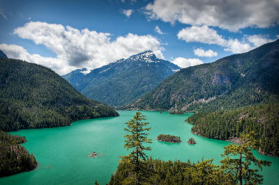
The Pacific Northwest is structured as a sequence of connected landscape systems extending from the Pacific Ocean to inland mountain ranges. Coastal environments transition into dense forests, which rise into volcanic peaks and glaciated terrain. Unlike desert or canyon systems, this region operates through environmental layering. Vegetation, moisture, and terrain combine to create scenes where elements overlap rather than remain isolated. The visual structure is defined by vertical and atmospheric layering. Foreground forests, midground ridgelines, and background peaks are often partially obscured by atmospheric conditions, producing compositions built on depth, softness, and tonal variation.
Key photography subjects
- Rugged coastlines with sea stacks and open ocean exposure
- Dense forests layered with mist and filtered light
- Volcanic peaks rising above forested terrain
- River systems cutting through wooded landscapes
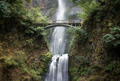
- Waterfalls descending through forest environments
- Atmospheric fog creating layered depth across terrain
- Light filtering through forest canopy and mist
Workshops in Pacific Northwest
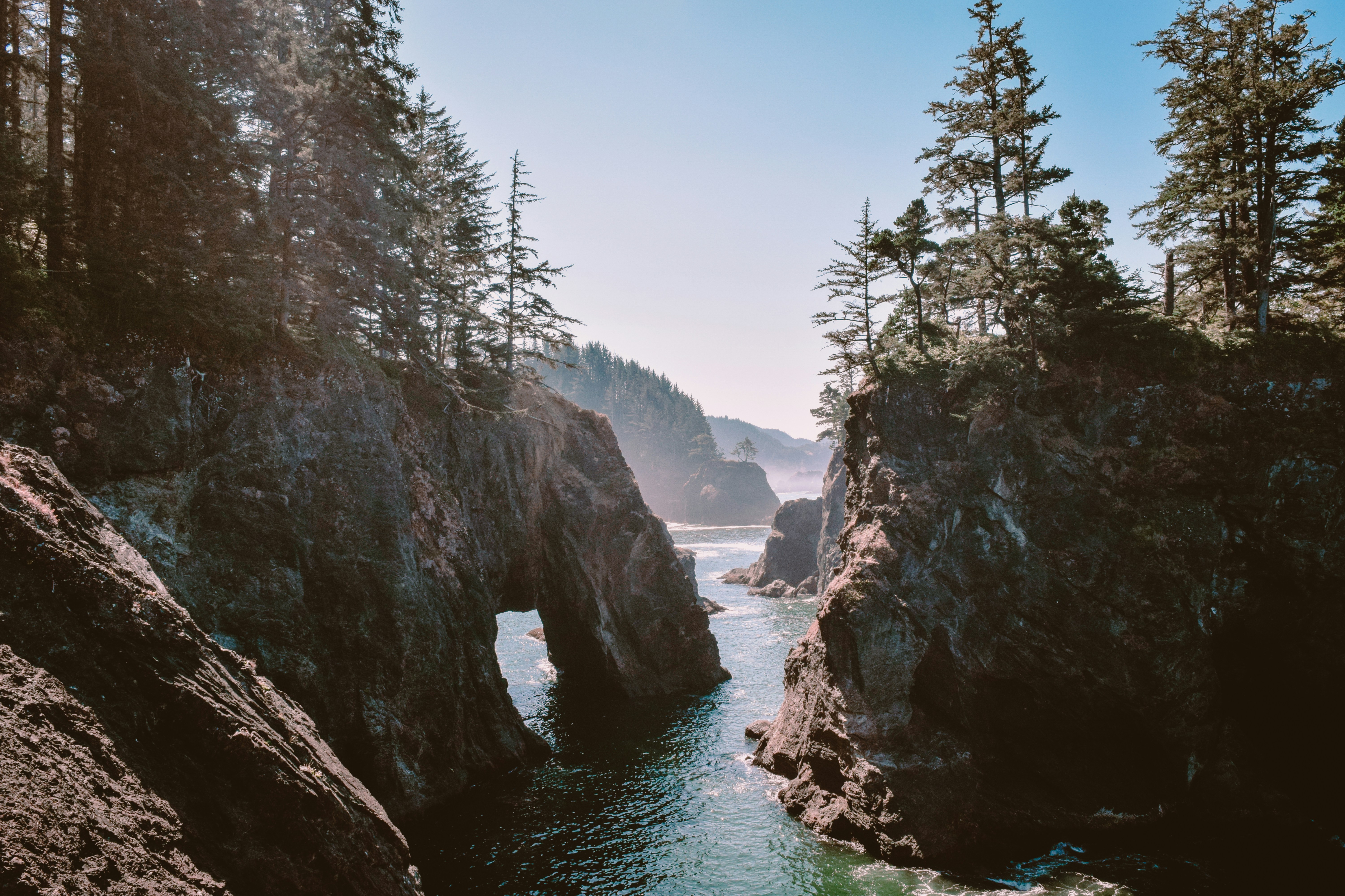
Oregon Coast Adventure Photography Workshop
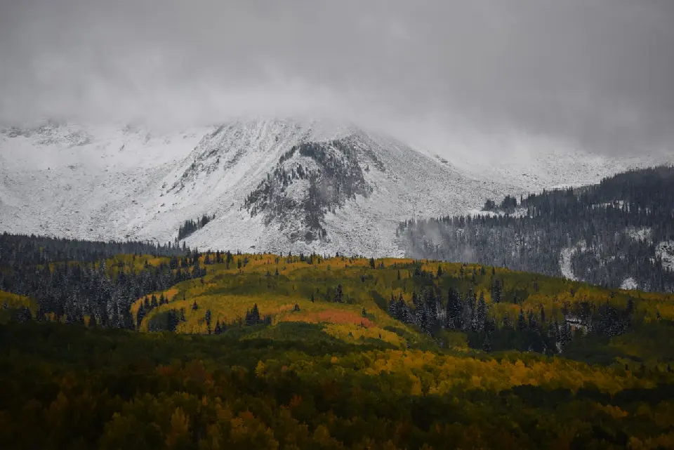
Colorado Fall Color Photography Art Retreat

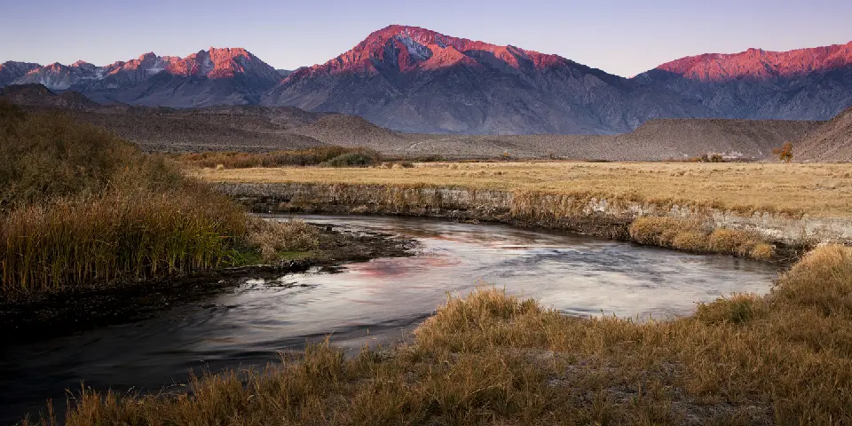
Autumn in Eastern Sierra

Autumn in Utah Badlands