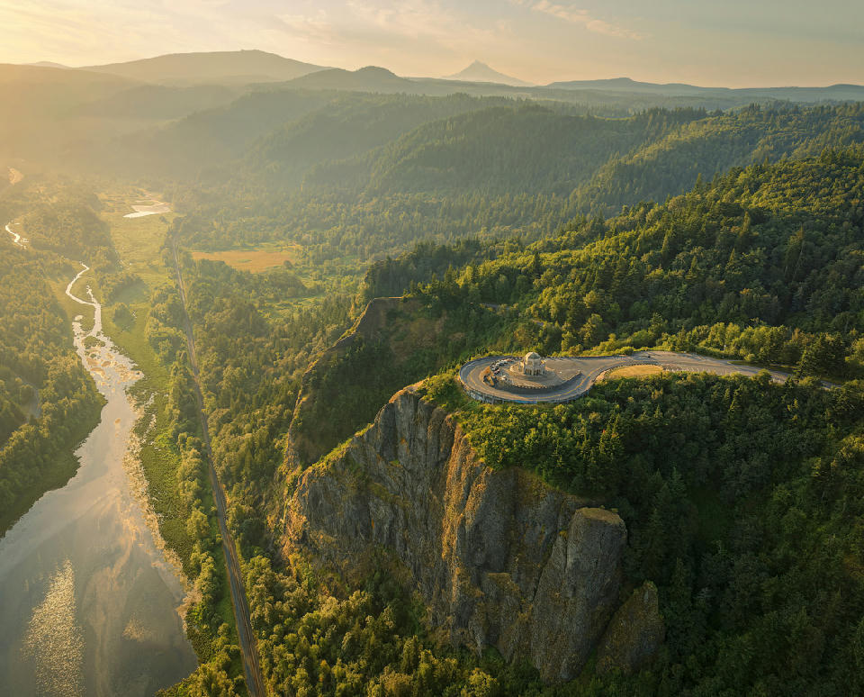
Vista House Crown Point aerial view, Columbia River Gorge, Oregon USA
The Columbia River Gorge is a river-carved canyon landscape in the Pacific Northwest defined by steep basalt cliffs, a wide river corridor, and dense forested slopes shaped by volcanic activity and erosion. The gorge forms a natural boundary between Oregon and Washington, where the Columbia River cuts through the Cascade Range, creating a long, continuous canyon system. Its spatial identity is defined by directional flow and confinement along a linear corridor. The terrain transitions between riverbanks, vertical cliff faces, forested slopes, and elevated viewpoints above the canyon. Elevation rises from the river level toward surrounding ridgelines, while the river itself forms a continuous central axis through the landscape. Seasonal conditions influence water flow, vegetation density, and atmospheric clarity. Moisture, cloud movement, and changing light conditions shape contrast across cliffs, forests, and river surfaces.
Gallery
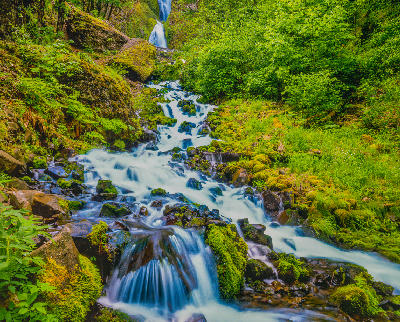
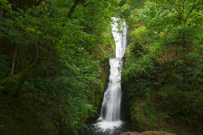
Key POIs in Columbia River Gorge
Nearby Places
View all on mapOverview
The Columbia River Gorge is structured as a linear canyon system following the path of the river as it cuts through mountainous terrain. The river acts as the defining feature, with cliffs and slopes forming continuous boundaries along its length. Unlike isolated or radial landscapes, this region operates through direction. Movement and composition follow the river corridor, where viewpoints align along the canyon and reveal variations in terrain, waterfalls, and forest density. The visual structure is defined by flow and alignment. The river creates a strong compositional line, while cliffs, waterfalls, and forest layers build depth and variation along the corridor.
Key photography subjects
- River corridor forming a continuous central axis
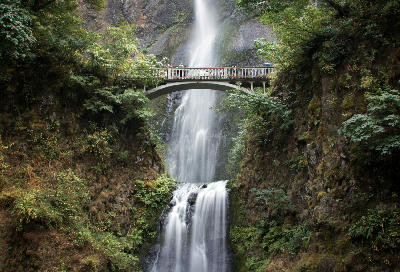
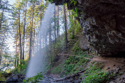
- Waterfalls descending from forested cliff faces
- Basalt cliffs rising above river-level terrain
- Forest layers covering steep canyon slopes
- Elevated viewpoints overlooking river alignment
- Mist and moisture shaping atmospheric depth
- Light interacting with water, forest, and rock surfaces
Workshops in Columbia River Gorge
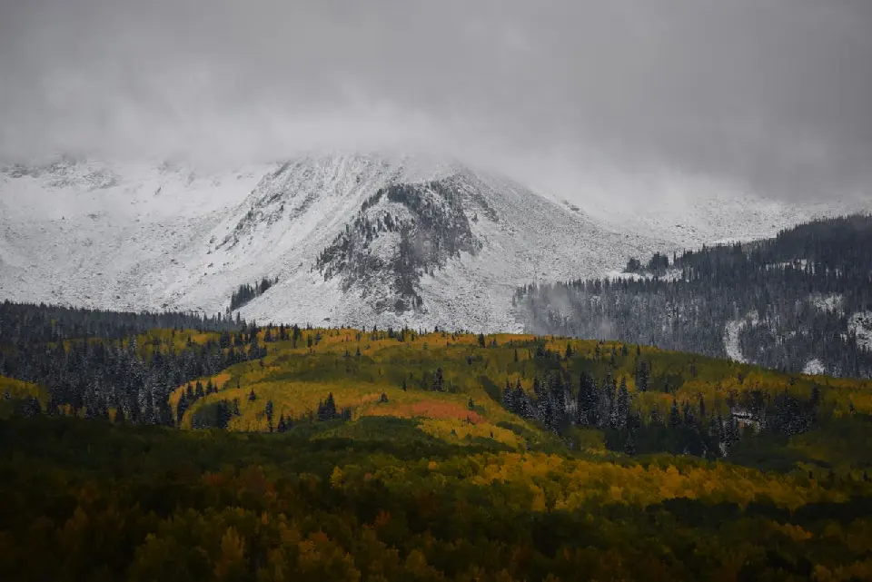
Colorado Fall Color Photography Art Retreat
Autumn in Eastern Sierra

Oregon Coast Adventure Photography Workshop
Autumn in Utah Badlands