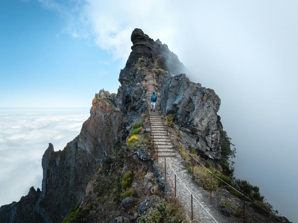
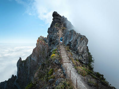
Hiker ascending the stone steps along a narrow ridgeline at Pico do Arieiro, one of the highest peaks in the Madeira archipelago, rising above clouds and volcanic rock formations.
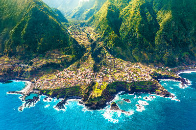
Madeira is a volcanic island in the North Atlantic Ocean situated southwest of mainland Portugal. The island is characterised by steep mountain ridges, deeply incised valleys, and dramatic coastal cliffs rising directly from the sea. Its landscape reflects volcanic origins combined with long-term erosion and vegetation growth across elevated terrain. The terrain transitions between high central mountains, terraced hillsides, narrow valleys, and rugged shoreline cliffs. Elevation rises sharply from coastal settlements toward interior peaks, while extensive vegetation covers much of the island’s slopes. Seasonal variation influences vegetation density, cloud formation, and atmospheric clarity, contributing to changes in surface texture and light conditions throughout the year.
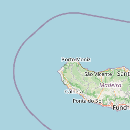
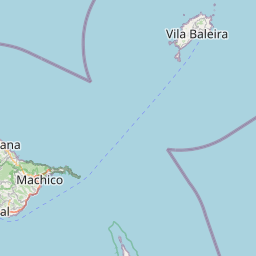
Structured Map of Madeira
A connected view of the landscape, organised by regions, areas, and key locations.









Queimadas
town city
Levada do Caldeirão Verde
landmark
Pico Ruivo
landmark
Vereda do Areeiro
landmark
Pico Do Areeiro
landmark
Miradouro da Eira do Serrado
landmark
Risco Waterfall
water feature
25 Fontes
water feature
Rabaçal
park reserve
Laurissilva Forest
park reserve
Fanal Forest
landmark
Seixal Beach
beach
Miradouro Do Véu Da Noiva
landmark
Sao Vicente
town city
São Cristóvão
landmark
Santana
town city
Ponta De São Lourenço
area district
Camara De Lobos
town city
Cabo Girão
landmark
Paul Do Mar
landmark
Farol da Ponta do Pargo
landmark
Porto Moniz
town city
Ilhéus da Ribeira da Janela
water feature
Areas in Madeira
Cities & Towns in Madeira
Gallery
Overview
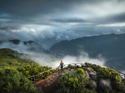
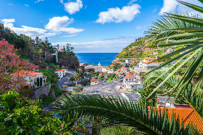
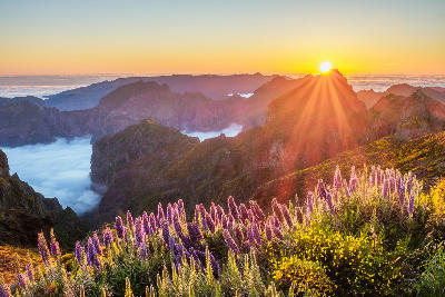
Madeira’s terrain is structured around a mountainous central spine formed by volcanic uplift. From this elevated ridge system, deep valleys descend toward the coastline, creating a landscape of steep slopes and confined drainage corridors. The island’s coastal margins include rocky cliffs and small bays, while interior terrain supports forested mountains and cultivated terraces. Agricultural activity and settlements are concentrated along lower slopes and coastal areas where flatter land occurs. The visual structure of the island is defined by strong elevation contrasts between central peaks, descending valleys, and surrounding ocean horizons, producing layered compositions across mountain ridges and coastal cliffs.
Key photography subjects
- Steep volcanic mountain ridges and peaks
- Deep valleys descending toward the coast
- High sea cliffs facing the Atlantic Ocean
- Terraced hillsides and cultivated slopes
- Forested mountain landscapes and ridgelines
- Coastal settlements along narrow shorelines
- Seasonal cloud formations and maritime light
Workshops in Madeira
No upcoming workshops scheduled for Madeira at this time.
Check back soon or explore other destinations.