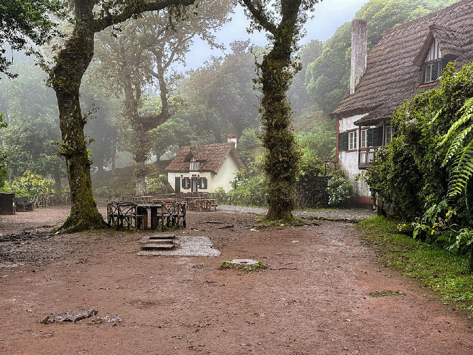
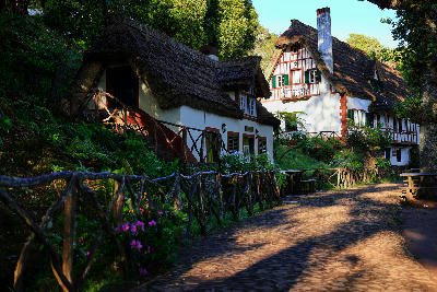
Misty clearing at Queimadas Forest Park, marking the start of the Levada do Caldeirão Verde route amid laurel forest and traditional thatched houses.
Queimadas is a forested area on Madeira’s north side where laurel woodland, narrow valleys, and levada paths converge around a small clearing and trailhead. The setting is defined by dense vegetation, shaded ravines, and enclosed woodland rather than open views.
Gallery
Nearby Places
View all on mapOverview
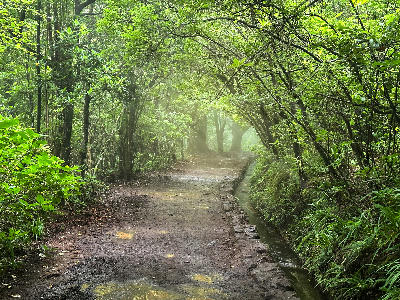
The area sits within the Laurissilva zone above Santana, where steep terrain and persistent moisture support thick laurel forest and deep-cut watercourses. Paths and levadas thread through shaded slopes and narrow valleys, with limited sightlines and a strong sense of enclosure created by overlapping trees and terrain. Visually, Queimadas functions as a transitional landscape rather than a single subject. Interest resolves into specific locations along trails and ravines—waterfalls, forest corridors, and clearings—while the area as a whole is characterised by subdued light, layered vegetation, and close-range compositions shaped by depth and repetition.
Key photography subjects
- Dense laurel forest enclosing narrow paths and ravines
- Levada channels cutting horizontal lines through steep terrain
- Moss-covered trunks and branches forming vertical rhythm
- Shaded clearings framed by overlapping woodland
- Watercourses and small cascades within enclosed valleys
Workshops in Queimadas
No upcoming workshops found in this area.
Browse all workshops →