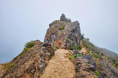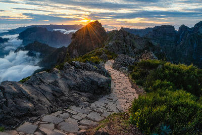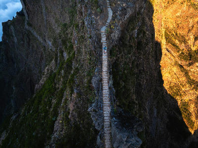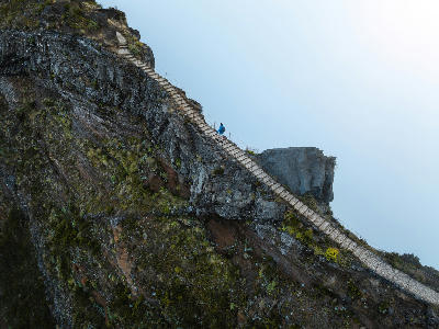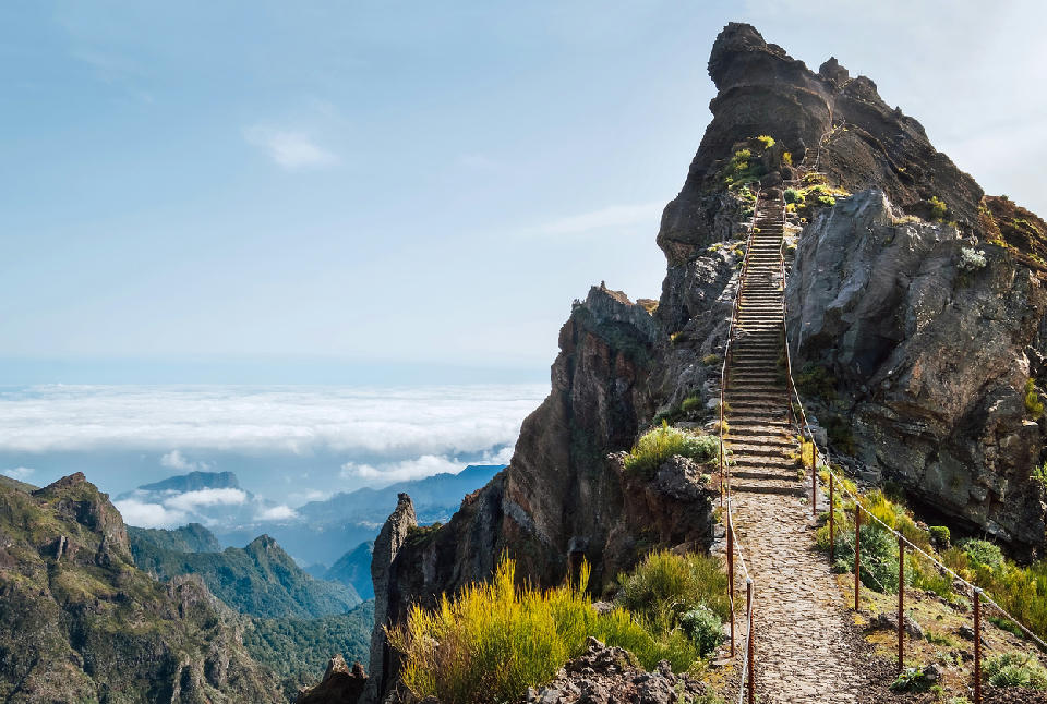
Stone steps climbing a narrow volcanic ridge along the Pico do Arieiro–Pico Ruivo route near Pico do Arieiro, with steep mountain slopes and distant cloud layers below.

    A steep section of the Pico do Arieiro–Pico Ruivo trail ascends exposed ridgelines in Madeira’s central mountains, where stone steps and safety cables trace one of the island’s most dramatic high-altitude routes.

    ← Back to Madeira

    Pico Ruivo

    Landmark

    Pico Ruivo is Madeira’s highest mountain peak, defined by exposed ridgelines, deep surrounding valleys, and abrupt elevation changes. The summit sits within a rugged volcanic landscape where narrow crests and steep drops dominate the scene.

    32.76038, -16.94376

    Gallery
    Quick Facts

    Access

    Walk

    Elevation Gain

    1862 m

    Best Light

    Morning
    Overcast

    Crowds

    Variable

    Restrictions

    Drone Often Restricted

    There is no road access to the summit. The shortest approach is from Achada do Teixeira, with longer ridge routes connecting from surrounding peaks. Weather conditions can change rapidly, affecting visibility and safety.

    Photography Notes

    The summit is photographed from several closely spaced viewpoints rather than a single fixed position. Strong compositions emphasise ridge direction and vertical drop, using foreground rock or path edges to lead the eye into layered mountain distance. Cloud movement is visually defining, often transforming the scene within minutes; clear conditions emphasise scale, while mist simplifies forms and isolates ridges.

    Nearby Places

    View all on map