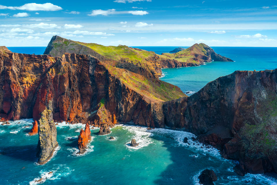
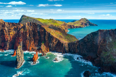
Layered volcanic cliffs and sea stacks at Ponta de São Lourenço, where the exposed eastern peninsula of Madeira meets the Atlantic, revealing stark rock formations and turquoise coastal waters.
Ponta de São Lourenço forms the easternmost tip of Madeira, a narrow volcanic peninsula projecting into the Atlantic. Exposed, dry, and largely treeless, it contrasts sharply with the island’s greener interior. The landscape feels raw and open, shaped by wind, erosion, and uninterrupted ocean exposure on both sides.
Gallery
Nearby Places
View all on mapOverview
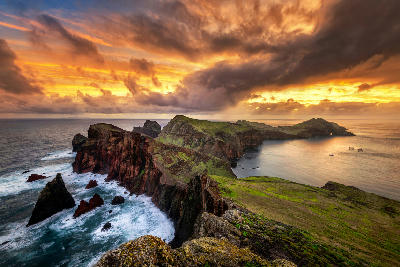
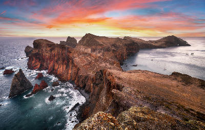
The peninsula is built from layered volcanic rock, with sharp ridgelines, eroded cliffs, and rust-toned stone dropping steeply into the sea. Its arid character results from persistent wind and low rainfall, giving the terrain a stripped, almost sculptural quality where geology dominates over vegetation. Long sightlines and minimal visual obstruction define the area. The terrain undulates along a narrow spine, with repeated rises and falls that reveal alternating views toward the Atlantic and the Desertas Islands. Light changes quickly here, and the exposed setting amplifies shifts in cloud, wind, and sea state throughout the day.
Key photography subjects
- Eroded volcanic ridges and layered rock formations
- Narrow headlands with ocean exposure on both sides
- Cliff faces and sea stacks shaped by wind and erosion
- Repeating ridge lines and leading paths along the peninsula spine
- Colour contrast between rust-coloured rock, deep blue water, and pale sky
Workshops in Ponta De São Lourenço
No upcoming workshops found in this area.
Browse all workshops →