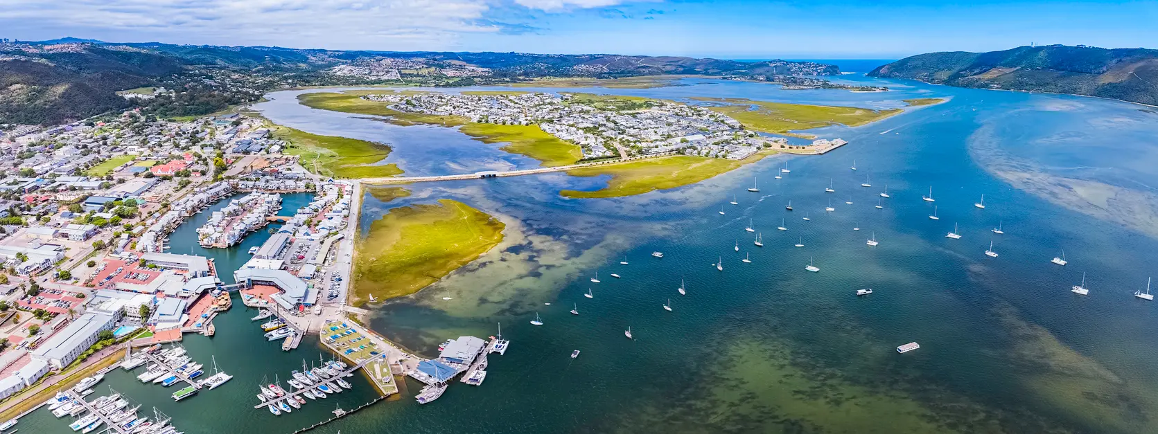
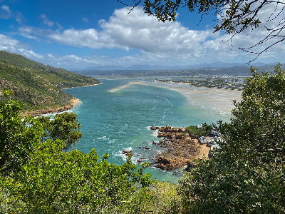
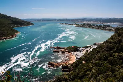
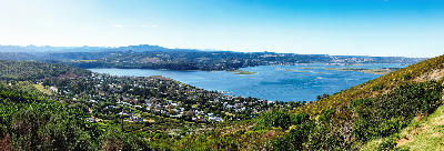
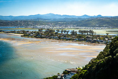
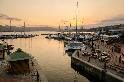
The Knysna Lagoon stretches across a vast estuary of channels, tidal flats and islands before narrowing at the famous Knysna Heads and reaching the Indian Ocean.
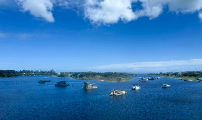
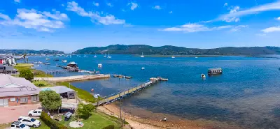
Knysna Lagoon is a large estuarine water body forming the centrepiece of the Knysna region on South Africa's Garden Route. Surrounded by forests, headlands, islands, and waterfront areas, the lagoon creates one of the country's most distinctive coastal landscapes. Its sheltered waters and interconnected channels define the character of the wider Knysna area.
-34.04711, 23.01344
Gallery
Quick Facts
Access
Roadside / Step-out
0–5 min
Elevation Gain
0 m
Best Light
Soft light reduces contrast beneath the canopy and reveals detail within the forest interior.
Why This Light
Season
Seasonally Distinct
Summer brings lush vegetation and dense green forest conditions throughout the canopy. Winter introduces softer light and increased atmospheric conditions beneath the forest cover.
Crowds
Busy Midday