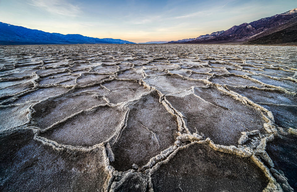
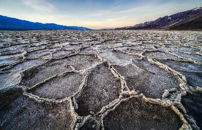
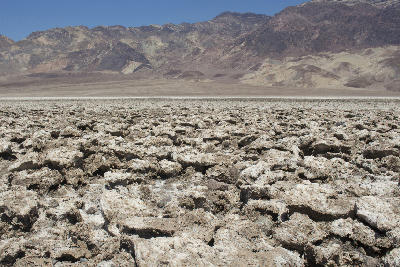
Cracked salt polygon formations across Badwater Basin at dawn, Death Valley National Park, California, USA, with the Panamint Mountains on the horizon.
Death Valley National Park is a desert landscape in eastern California defined by extreme elevation variation, expansive basins, and exposed geological formations shaped by erosion and tectonic activity. The region contains the lowest point in North America, where large salt flats and valley floors sit far below surrounding mountain ranges. Its spatial identity is defined by contrast between low basin terrain and elevated ridgelines. The terrain transitions between salt flats, sand dunes, alluvial fans, badlands, and surrounding mountain systems. Elevation varies dramatically across short distances, with valley floors rising sharply into rugged terrain along basin edges. Seasonal conditions influence temperature, visibility, and surface appearance. Light interacts strongly with exposed terrain, emphasising texture, colour variation, and contrast across desert surfaces.
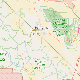
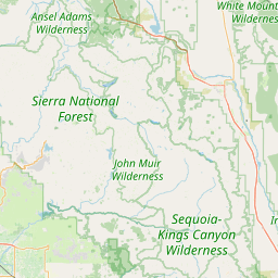
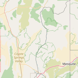
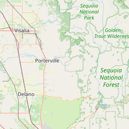
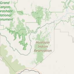
Structured Map of Death Valley National Park
A connected view of the landscape, organised by regions, areas, and key locations.
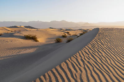
Mesquite Flat Sand Dunes
landmark
Mesquite Flat Dunes
area district
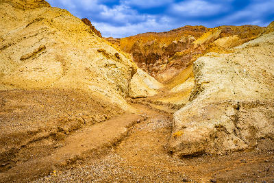
Golden Canyon
landmark
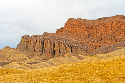
Red Cathedral
landmark
Furnace Creek & Zabriskie Point
area district
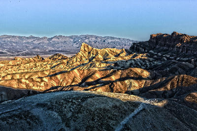
Zabriskie Point
landmark
Gower Gulch
landmark
Artist’s Drive
landmark
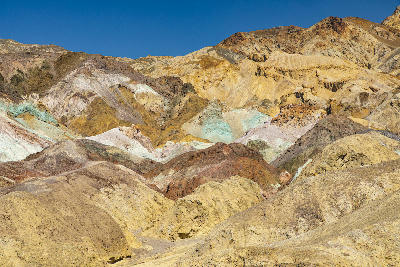
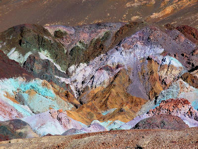
Artist’s Palette & Black Mountains
area district
Artist’s Palette
landmark
Devil’s Golf Course
landmark
Death Valley Salt Flats (Badwater Basin)
area district
Badwater Basin
landmark
Dante’s View
landmark
Panamint Range & Western Overlooks
area district
Father Crowley Overlook
landmark
Areas in Death Valley National Park
Gallery
Overview
Death Valley is structured as a series of basins and mountain ranges where geological processes have created distinct landforms across the landscape. The valley floor forms a broad central feature, while surrounding terrain introduces variation through dunes, badlands, and rock formations. Unlike more uniform desert environments, this region operates through diversity of surface types. Each area presents a different compositional approach, from large-scale open basins to detailed surface patterns. The visual structure is defined by contrast and variation. Flat expanses, textured surfaces, and elevated viewpoints combine to create compositions that shift between minimalism and complex detail.
Key photography subjects
- Salt flats extending across open desert basins
- Sand dunes forming sculpted surface patterns
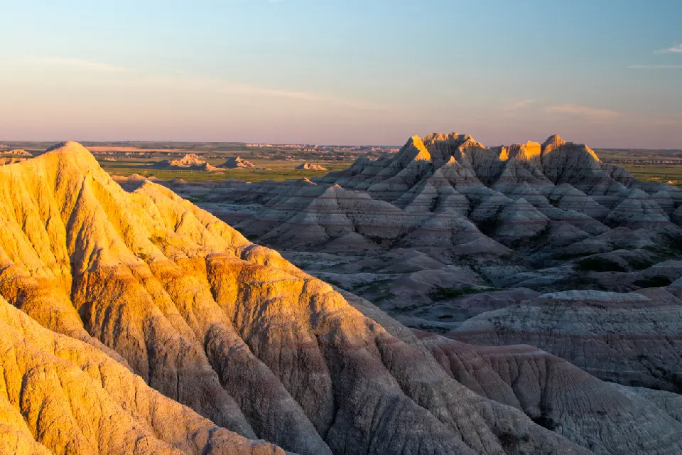
- Badlands with layered and eroded terrain
- Alluvial fans spreading from mountain edges
- Mountain ranges rising from valley floor
- Abstract textures across desert surfaces
- Light defining contrast across exposed terrain
Workshops in Death Valley National Park
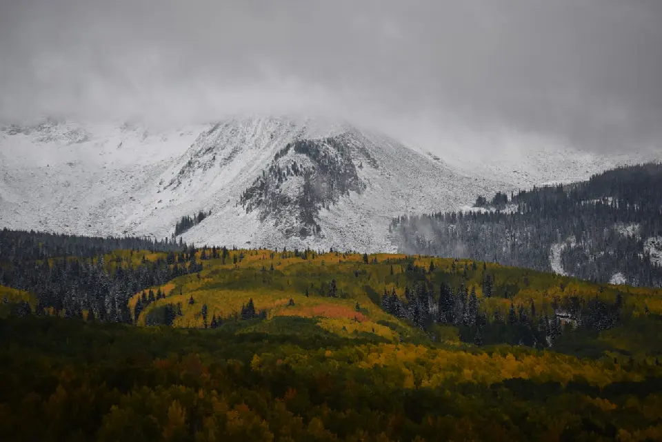
Colorado Fall Color Photography Art Retreat

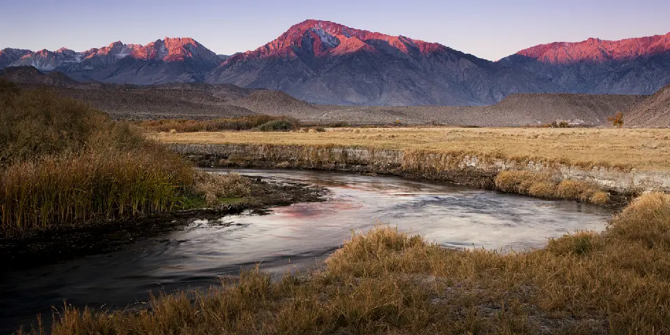
Autumn in Eastern Sierra

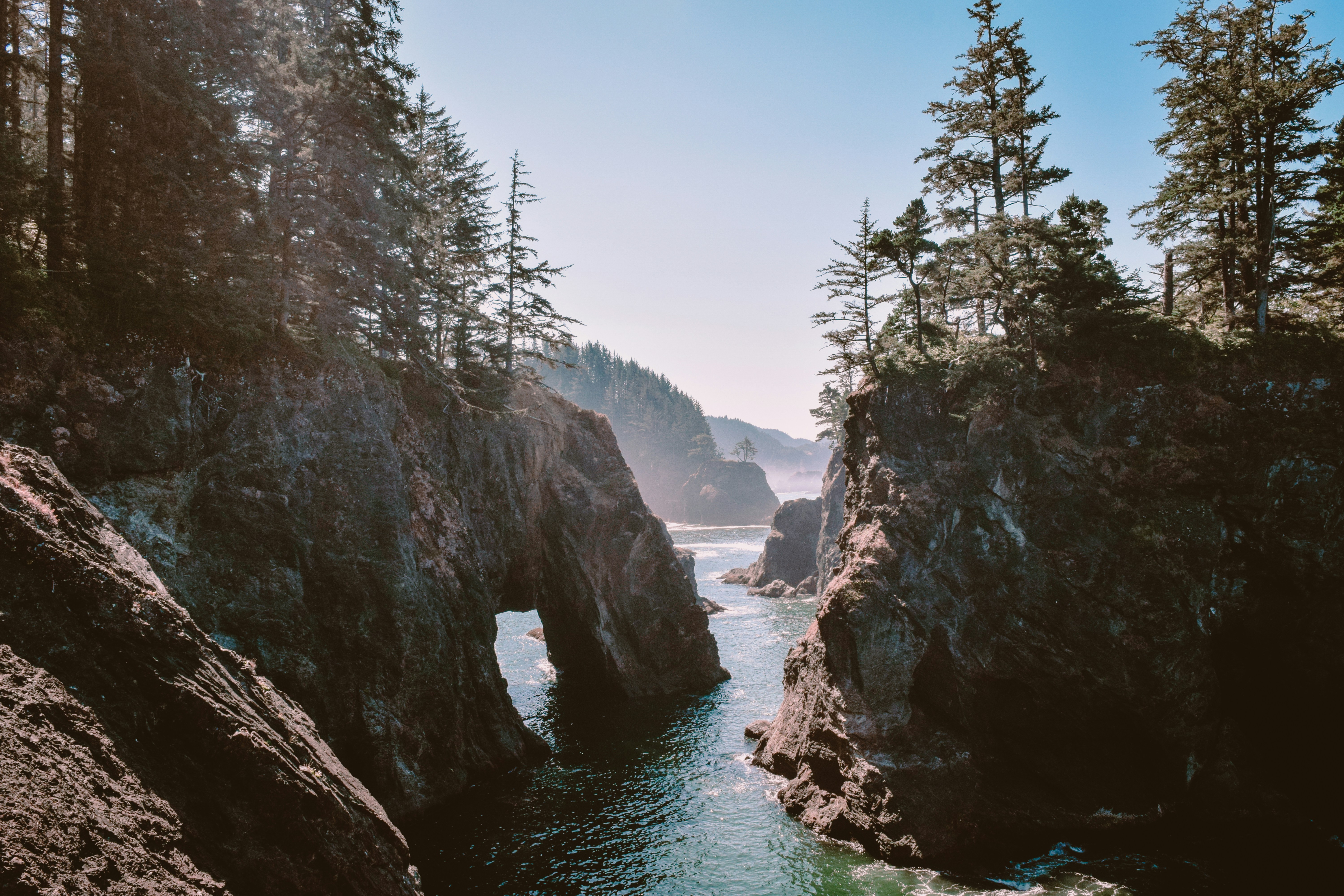
Oregon Coast Adventure Photography Workshop
Autumn in Utah Badlands