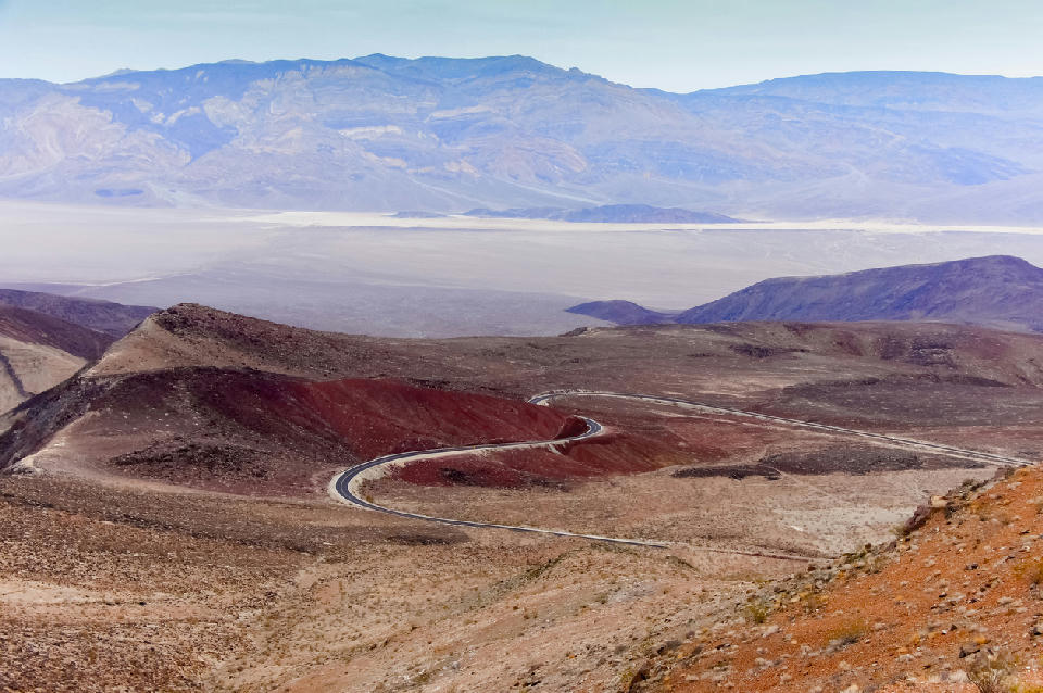
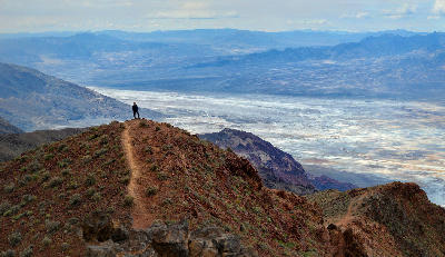
Curving road descending from Father Crowley Overlook across red volcanic hills toward Panamint Valley in Death Valley National Park, California.
Panamint Range and surrounding western overlooks form an elevated landscape along the edge of Death Valley National Park. The area is defined by high viewpoints looking across the valley toward distant desert terrain and mountain ranges.
Gallery
Key POIs in Panamint Range & Western Overlooks
Nearby Places
View all on mapDeath Valley Salt Flats (Badwater Basin)
area district — 30.8 km
Devil’s Golf Course
landmark — 31.8 km
Artist’s Palette & Black Mountains
area district — 35.6 km
Badwater Basin
landmark — 35.7 km
Artist’s Drive
landmark — 36.5 km
Artist’s Palette
landmark — 37.2 km
Gower Gulch
landmark — 37.5 km
Golden Canyon
landmark — 38.0 km
Overview
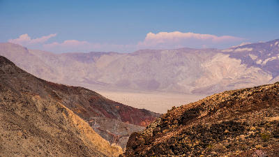
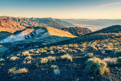
The area is formed by elevated ridgelines and viewpoints along the western side of Death Valley, where the terrain rises sharply above the valley floor. These positions provide wide, unobstructed views across large distances, with layered terrain extending toward the eastern mountain ranges. Photographically, the region works through scale, depth, and compression. Overlooks allow compositions that capture the full width of the valley, with multiple layers of terrain receding into the distance. Light plays a major role, with low-angle light and atmospheric conditions shaping contrast, colour, and separation across the landscape.
Key photography subjects
- Elevated viewpoints overlooking Death Valley
- Layered desert terrain receding into the distance
- Wide-scale compositions across the valley basin
- Atmospheric depth between multiple mountain ranges
- Light shaping contrast and colour across large scenes