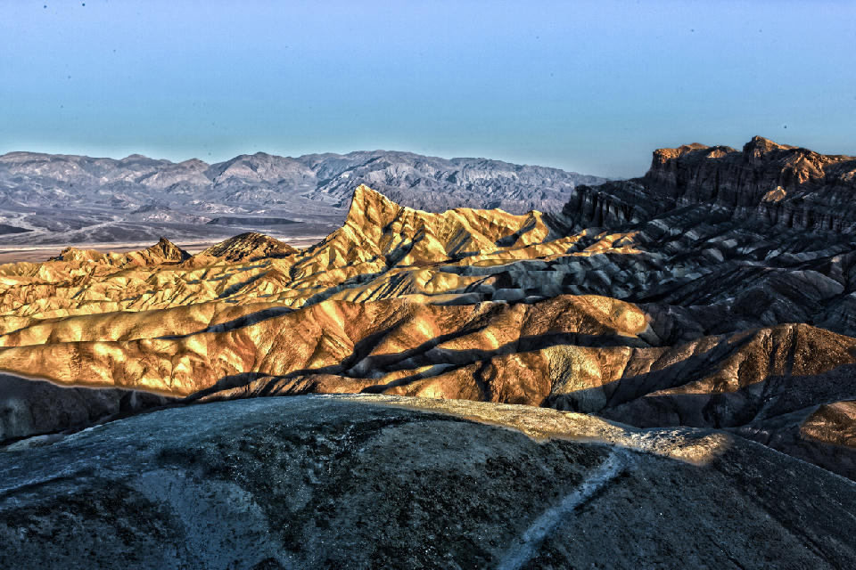
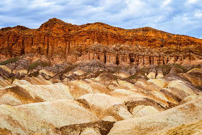
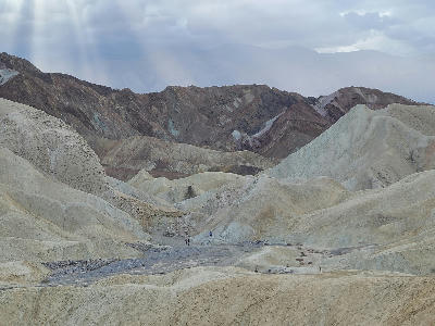
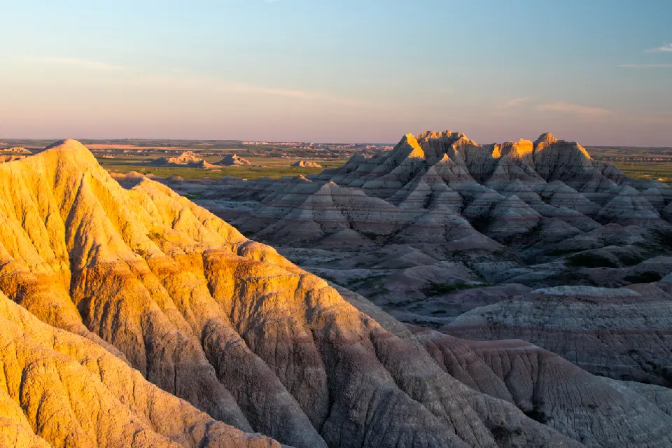
Golden light illuminating the layered badlands ridges at Zabriskie Point in Death Valley National Park, California, with deep erosion patterns creating dramatic texture and depth.
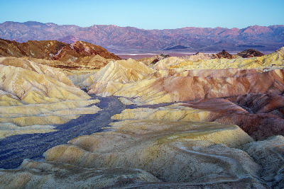
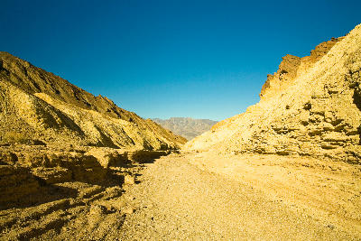
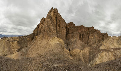
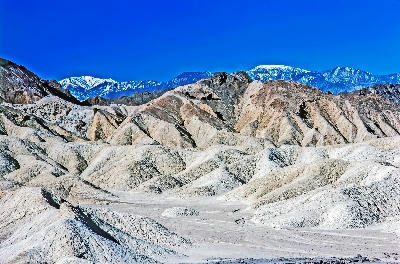
Furnace Creek and Zabriskie Point is a desert landscape in Death Valley defined by eroded ridgelines, badlands formations, and layered sedimentary terrain shaped by water and wind erosion. The area sits near the central basin, where soft rock has been carved into intricate patterns of ridges, gullies, and slopes. Its spatial identity is defined by texture and erosion-driven form. The terrain transitions between rolling badlands, sharp ridgelines, and shallow valleys. Elevation changes are moderate, with variation expressed through tightly spaced ridges and depressions rather than large-scale relief. Seasonal conditions influence colour, contrast, and surface clarity. Light interacts strongly with the ridged terrain, emphasising patterns, lines, and tonal variation across the landscape.
Gallery
Key POIs in Furnace Creek & Zabriskie Point
Nearby Places
View all on mapArtist’s Drive
landmark — 5.5 km
Death Valley National Park
Artist’s Palette
landmark — 6.3 km
Death Valley National Park
Artist’s Palette & Black Mountains
area district — 9.5 km
Death Valley National Park
Devil’s Golf Course
landmark — 15.0 km
Death Valley National Park
Death Valley Salt Flats (Badwater Basin)
area district — 18.9 km
Death Valley National Park
Badwater Basin
landmark — 21.4 km
Death Valley National Park
Dante’s View
landmark — 23.4 km
Death Valley National Park
Mesquite Flat Dunes
area district — 33.3 km
Death Valley National Park
Overview
This sub-region is structured as an eroded badlands system where continuous ridges and valleys create a complex surface across the terrain. Unlike flat desert basins, the landscape here is highly textured, with repeating forms extending in multiple directions. Zabriskie Point provides elevated access to this system, revealing the full structure of the eroded terrain. Furnace Creek acts as the central anchor, connecting the basin floor to surrounding formations. The visual structure is defined by pattern and direction. Ridges form leading lines through the composition, while layered terrain creates depth across relatively short distances.
Key photography subjects
- Eroded ridgelines forming repeating patterns
- Badlands terrain with layered sedimentary structure
- Leading lines created by ridges and gullies
- Rolling terrain with tightly spaced elevation changes
- Tonal variation across eroded surfaces
- Elevated viewpoints revealing full terrain structure
- Light defining texture across ridged landscape
Workshops in Furnace Creek & Zabriskie Point
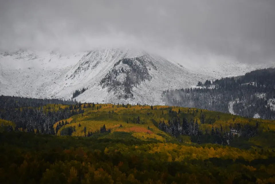
Colorado Fall Color Photography Art Retreat

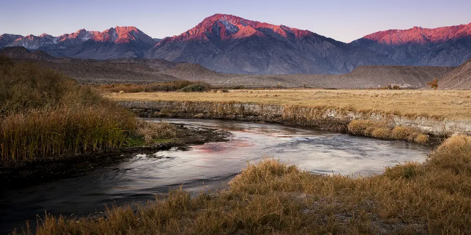
Autumn in Eastern Sierra

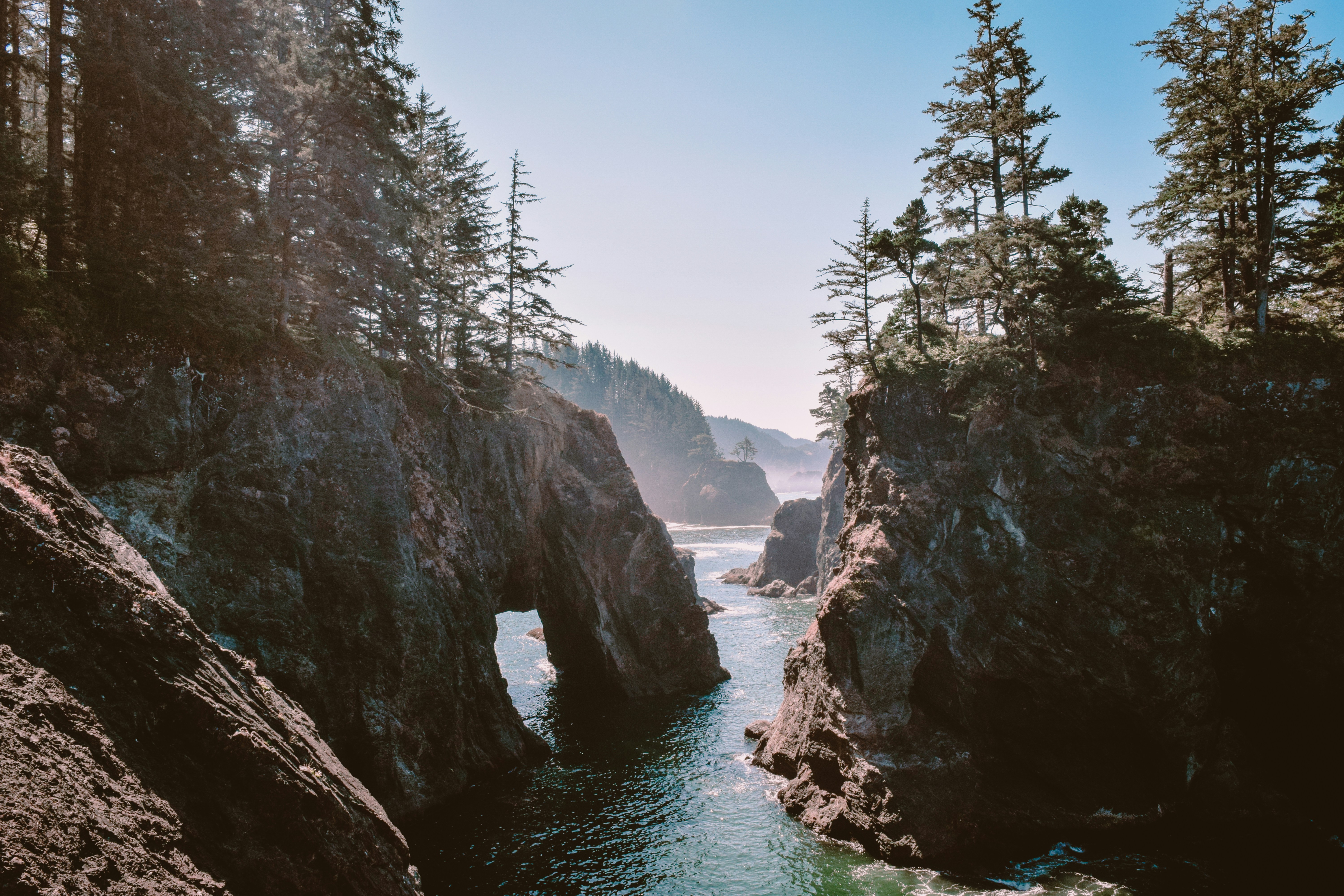
Oregon Coast Adventure Photography Workshop
Autumn in Utah Badlands