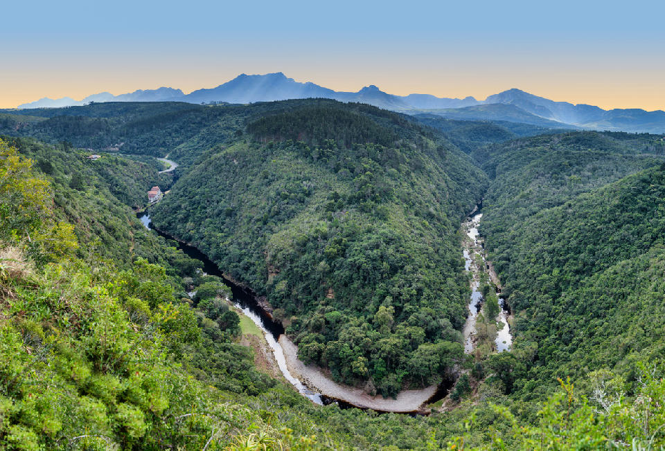
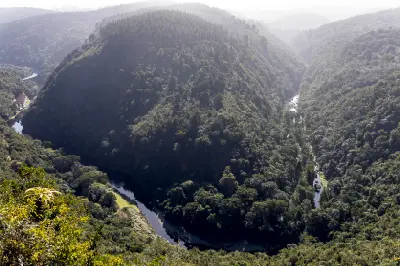
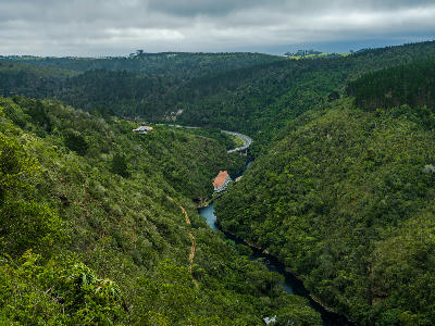
Viewed from Hoekwil above Wilderness, the Map of Africa is a naturally formed river meander whose distinctive shape resembles the African continent, framed by indigenous forest and the Outeniqua Mountains.
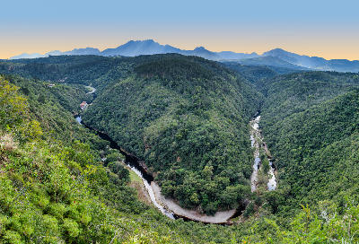
Map of Africa is an elevated viewpoint overlooking a distinctive meander of the Kaaimans River near Wilderness on the Garden Route. From the viewpoint, the winding river forms a shape that closely resembles the outline of the African continent, creating one of the region's most recognisable landscape scenes. The site combines river, forest, and mountain elements within a compact panoramic view.
-33.99303, 22.56081
Gallery
Quick Facts
Access
Roadside / Step-out
0–5 min
Elevation Gain
10 m
Best Light
Low-angle light enhances the shape of the river meander and creates stronger separation between the valley, forest, and surrounding hills.
Why This Light
Season
Year-Round Stable
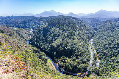
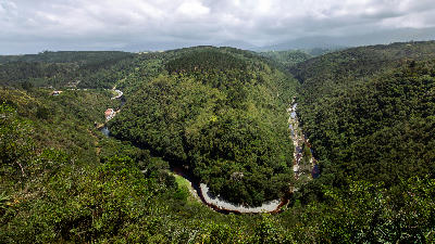
Summer brings greener vegetation and clearer views across the river valley and surrounding hillsides. Winter often introduces softer atmospheric conditions, changing weather patterns, and additional landscape depth across the valley.
Crowds
Busy Sunrise/Sunset