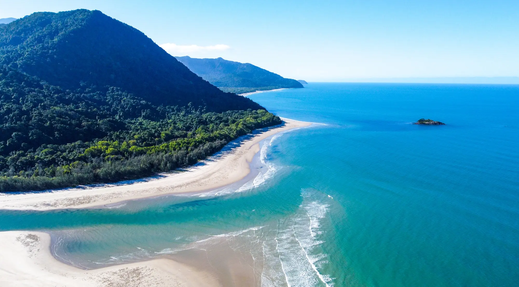
The rainforest meets the reef in Cape Tribulation, Queensland, Australia.
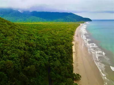
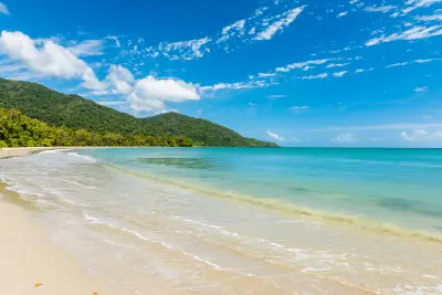
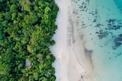
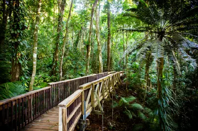
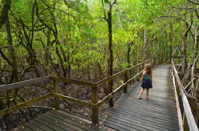
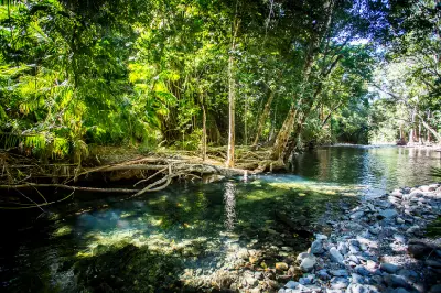
Cape Tribulation is a coastal headland in the Cape Tribulation section of Daintree National Park, where the Daintree rainforest reaches the Coral Sea north of the Daintree River. The area includes rainforest-covered slopes, sandy beaches, rocky headlands and nearby forest tracks, with Mount Sorrow and other ranges forming the inland backdrop. The combination of rainforest, beaches, coastal relief and elevated viewpoints provides varied opportunities for landscape and coastal photography.
-16.08329, 145.46273
Gallery
Quick Facts
Access
Short Walk
5–15 min
Elevation Gain
10 m
Best Light
Low-angle light defines the coastal slopes and beach, while overcast conditions reduce contrast in the rainforest and reflections can work on calm water.
Why This Light
Season
Seasonally Distinct
Summer brings wetter rainforest conditions, stronger cloud development and seasonal movement of pied imperial-pigeons through the rainforest around Cape Tribulation. Winter brings generally drier conditions and the possibility of humpback whales passing offshore, with coastal visibility and rainforest appearance varying with weather.
Crowds
Busy Midday
Restrictions
Cape Tribulation is accessible by conventional vehicle via the Daintree River ferry and Cape Tribulation Road, with the principal photographic locations reached by short walks. The main visitor area does not require 4WD access, but the Bloomfield Track north of Cape Tribulation does and can become impassable following heavy rains. The Daintree ferry is a practical access dependency and its operation can be affected by river, tidal and weather conditions. Current ferry and road status should therefore be checked before travel.