





01
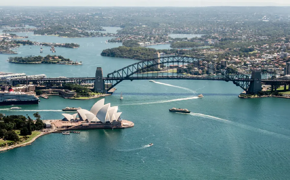
Sydney Opera House and Harbour Bridge viewed across Sydney Harbour, Australia.
Sydney, Blue Mountains & NSW Coast
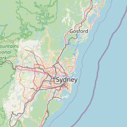
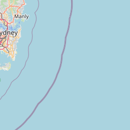
Sydney, Blue Mountains & NSW Coast is a landscape system where sandstone ranges, drowned river valleys, Pacific headlands, beaches, and one of Australia's largest harbour cities meet along the central New South Wales coast. Sydney Harbour forms the urban centre, while the Blue Mountains rise sharply inland and the Pacific coastline extends through beaches, cliffs, bays, and coastal reserves.
The terrain transitions from deeply indented harbour shores and sandstone headlands to open ocean beaches, coastal cliffs, forested plateaus, and the dissected valleys of the Great Dividing Range. Around the Blue Mountains, resistant sandstone escarpments overlook immense eucalyptus-covered valleys, while along the coast wave erosion has exposed cliffs, rock platforms, sea pools, and isolated headlands.
Weather and light vary strongly between these environments. Harbour reflections, coastal sunrise, backlit surf, sandstone warmed by low-angle light, eucalyptus haze, valley mist, and approaching weather systems create distinctly different conditions across a relatively compact geographic region.
Geographic discovery
Explore Sydney, Blue Mountains & NSW Coast by Area
Choose a part of Sydney, Blue Mountains & NSW Coast to discover its landscapes, photographic character, and locations.
Explore Areas in Sydney, Blue Mountains & NSW Coast
Blue Mountains
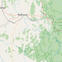
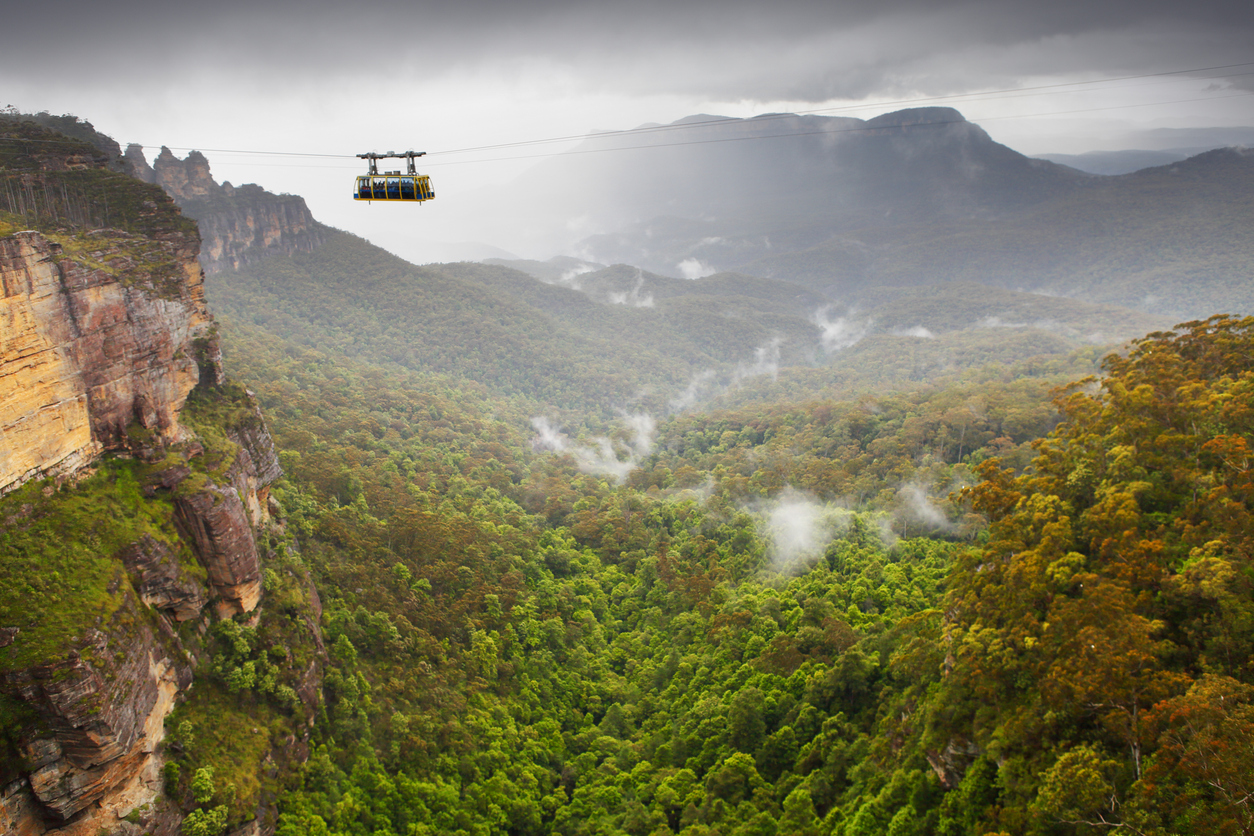
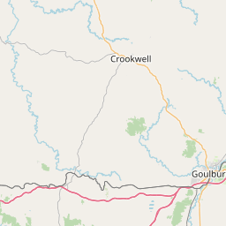
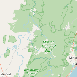
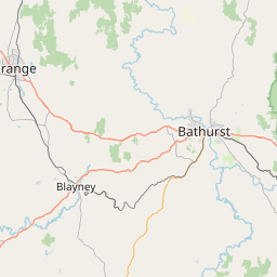
The Blue Mountains are formed from horizontally layered sandstone plateaus dissected over millions of years by rivers and erosion. Rather than conventional mountain peaks, much of the landscape consists of elevated tablelands separated by immense valleys, with resistant sandstone producing sheer cliffs, isolated rock formations and narrow canyon systems. Around Katoomba and Blackheath, major escarpments provide extensive views across Jamison, Grose and adjoining valleys. Landmarks such as the Three Sisters rise from the cliff margins, while Wentworth Falls drops from the plateau into the valley below and the Grand Canyon reveals a more enclosed landscape of sandstone walls and temperate vegetation. The visual structure of the region is defined by repeated layers of cliff, forest and distant ridge. Atmospheric haze separates successive landforms into progressively softer tones, while mist, low cloud and directional light can rapidly transform the scale and depth of the landscape.
Jervis Bay
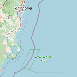
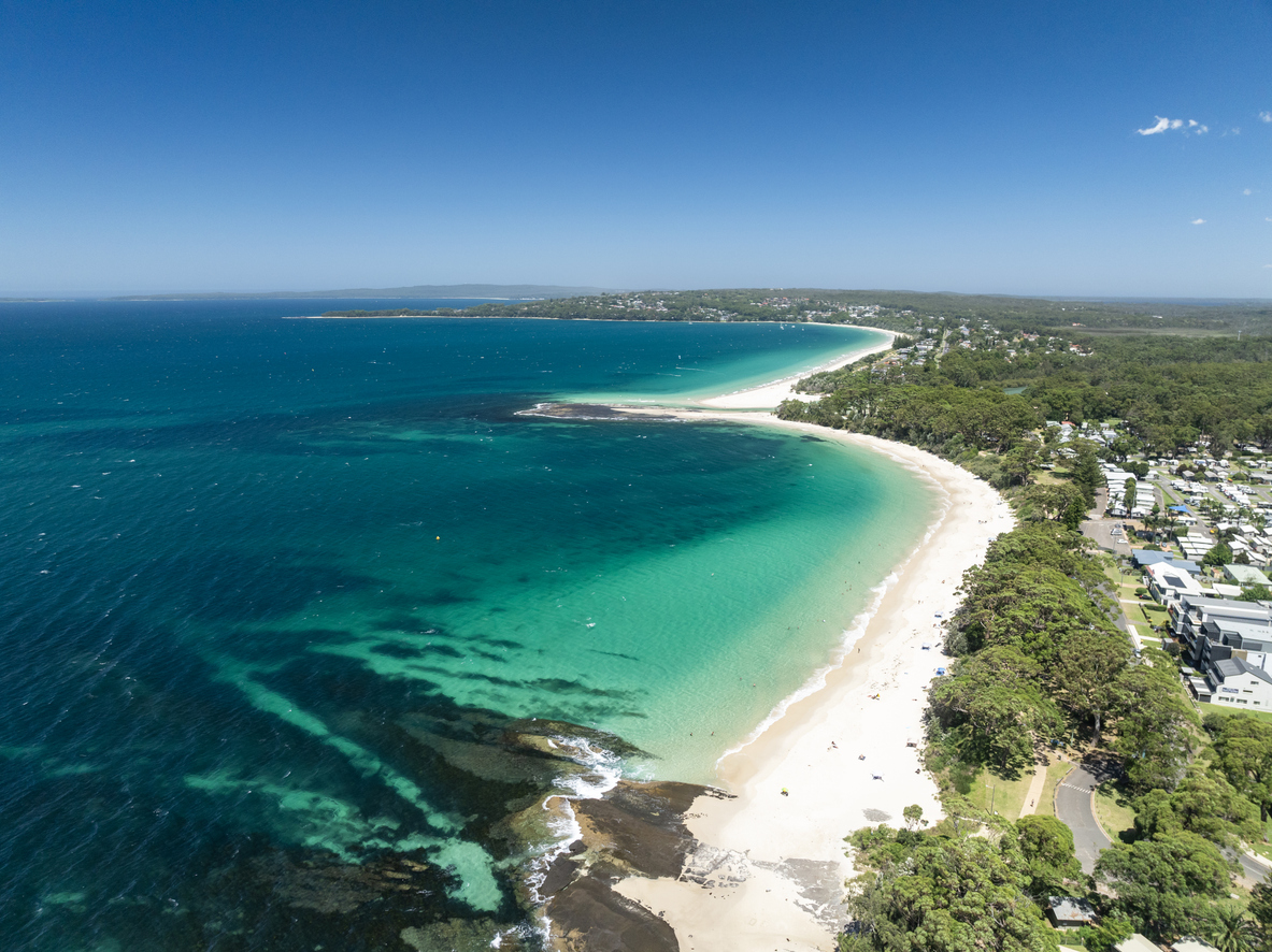
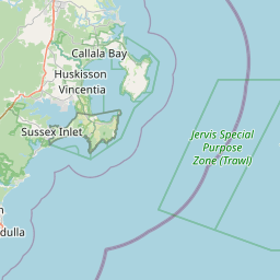
Jervis Bay is structured around a broad natural harbour enclosed by the Beecroft Peninsula to the north and Bherwerre Peninsula to the south. White quartz-rich beaches line much of the protected shoreline, while sandstone cliffs and rocky platforms become increasingly prominent around the bay's entrances and exposed coastal margins. The southern shoreline around Booderee National Park combines beaches such as Murrays Beach and Green Patch with forest, tidal creeks and rocky coastal formations. Across the bay, Point Perpendicular provides a contrasting landscape of elevated cliffs and expansive views over both the sheltered water and the open Pacific. The visual structure of the region is defined by the contrast between bright sand, clear water, dark coastal vegetation and weathered sandstone, producing compositions that range from minimalist beaches and sheltered coves to elevated headlands and monumental sea cliffs.
Kiama & Illawarra Coast
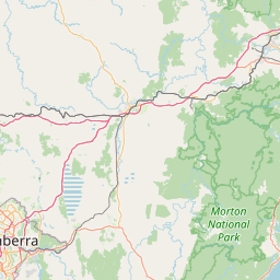
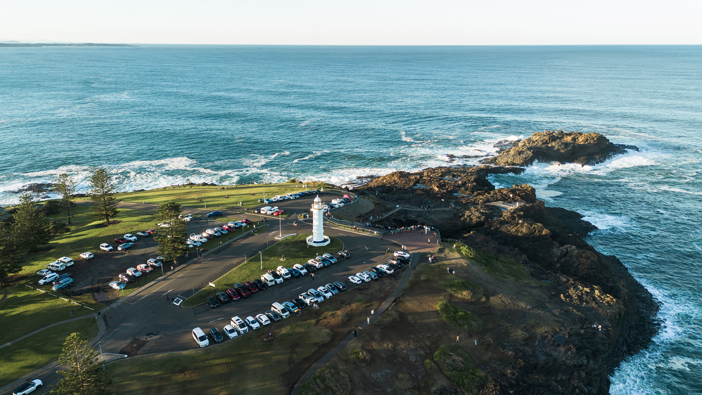
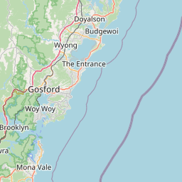
The Kiama coastline is strongly influenced by ancient volcanic geology, particularly around Bombo Headland and the rocky shores surrounding Kiama. Dark basalt columns, eroded rock platforms and exposed headlands create a distinctive coastal landscape, while the Kiama Blowhole demonstrates the continuing interaction between waves and fractured volcanic rock. North of Kiama, the Illawarra Escarpment becomes increasingly important to the landscape. The steep forested ridge runs close to the Pacific, enclosing a narrow coastal plain and supporting rainforest around Minnamurra. Roads and viewpoints along this transition reveal the close relationship between mountain, forest and ocean. The visual structure of the region is defined by contrasts between dark volcanic rock, white surf, green escarpment vegetation and open ocean. Elevated coastal viewpoints, exposed rock platforms and enclosed rainforest therefore produce markedly different photographic environments within a relatively compact area.
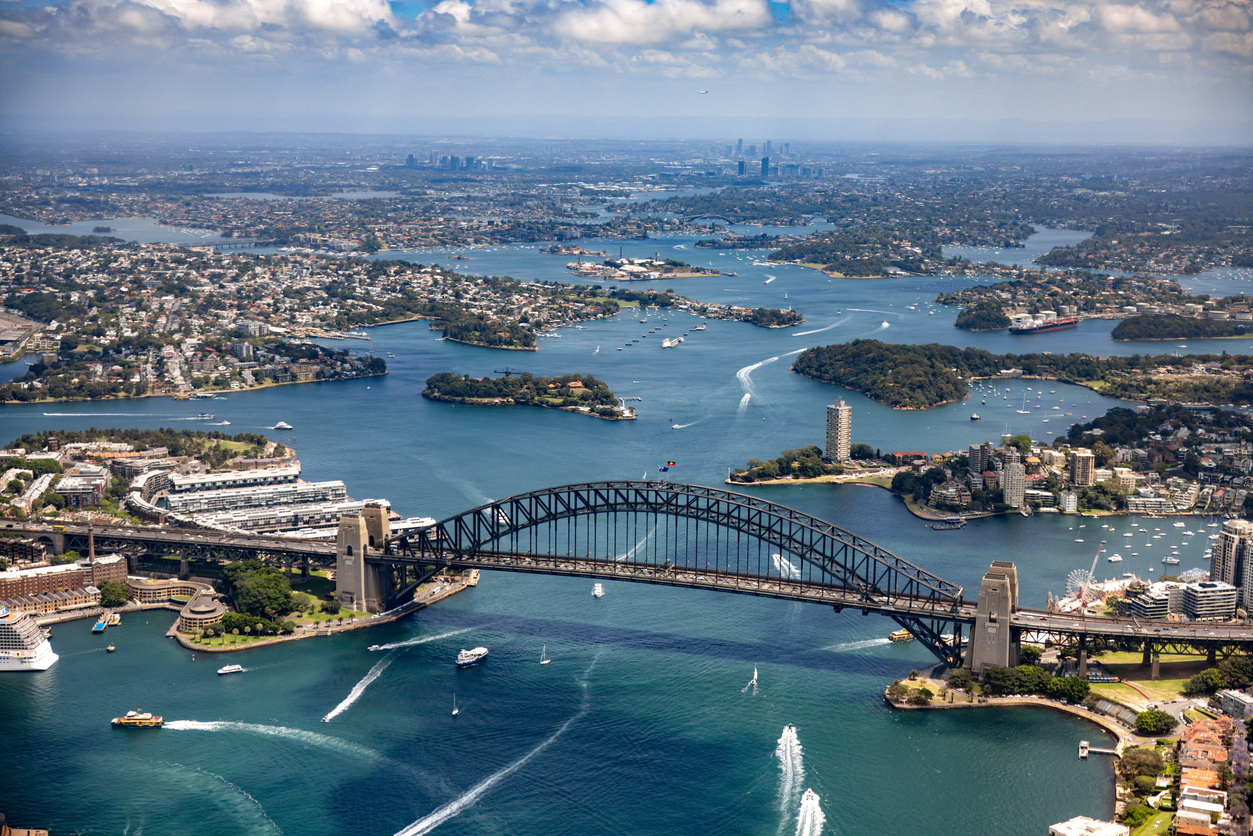
Sydney Harbour
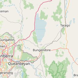
Sydney Harbour occupies the flooded lower reaches of the Parramatta River system, creating an intricate landscape of bays, coves, islands and sandstone peninsulas before opening into the Pacific Ocean. Its irregular shoreline produces numerous elevated and waterside viewpoints, while remnant bushland survives on several headlands alongside dense urban development. Around Circular Quay, the Sydney Opera House and Harbour Bridge create the harbour's most recognisable architectural concentration. Across the water, Kirribilli and Blues Point provide opposing perspectives, while Bradleys Head and other outer headlands place the city skyline and major landmarks within a broader natural harbour setting. The visual structure of the harbour is defined by the interaction of water, sandstone topography and architecture. Changing viewing angles continually alter the overlap between bridges, buildings, islands and headlands, while reflections, boat movement and directional light add variation across otherwise familiar compositions.
Photographic journey
Sydney, Blue Mountains & NSW Coast Photography Route
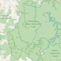
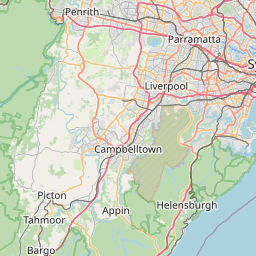
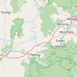
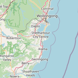
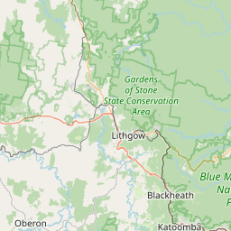
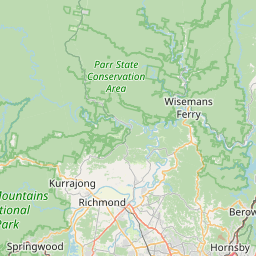
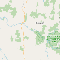
Sydney, Blue Mountains & NSW Coast Route · 30 stops
09
Kiama Blowhole
14
Sea Cliff Bridge
16
Sydney Opera House
21
Sydney Harbour Bridge
26
Three Sisters

Overview
Sydney, Blue Mountains & NSW Coast is structured around the interaction between the sandstone geology of the Sydney Basin and the Pacific Ocean. Rivers have cut deeply into the plateau and flooded valleys form Sydney's intricate harbour system, while marine erosion has shaped the eastern edge into beaches, cliffs, rocky platforms, and headlands. Inland, the same broad geological system rises towards the Blue Mountains.
Each part of the region produces a different landscape scale. Sydney combines harbour water, sandstone shoreline, architecture, bridges, and dense urban form, while the Pacific coast opens into long beaches, ocean cliffs, surf, and rocky foregrounds. The Blue Mountains shift the emphasis towards immense valleys, vertical escarpments, waterfalls, forested ridges, and layered horizons extending across the Greater Blue Mountains wilderness.
The visual structure of the region is defined by repeated relationships between sandstone, water, forest, and elevation. Harbour viewpoints compress architecture and shoreline into layered compositions, coastal positions work through surf and geological foregrounds, and elevated mountain lookouts reveal successive escarpments and valleys. Sunrise, mist, eucalyptus haze, reflections, storm cloud, and warm sandstone light provide strong seasonal and atmospheric variation.
Key Photography Subjects
- Sydney Harbour, sandstone shores, skyline, and harbour architecture
- Sydney Opera House, Harbour Bridge, and waterfront compositions
- Pacific beaches, surf, ocean pools, and rocky headlands
- Coastal cliffs, sandstone platforms, bays, and sea stacks
- Blue Mountains escarpments and eucalyptus-covered valleys
- Waterfalls, sandstone formations, forest, and layered mountain ridges
- Sunrise, harbour reflections, valley mist, haze, and changing coastal light
Gallery
Workshops in Sydney, Blue Mountains & NSW Coast
No upcoming workshops scheduled for Sydney, Blue Mountains & NSW Coast at this time.
Check back soon or explore other destinations.