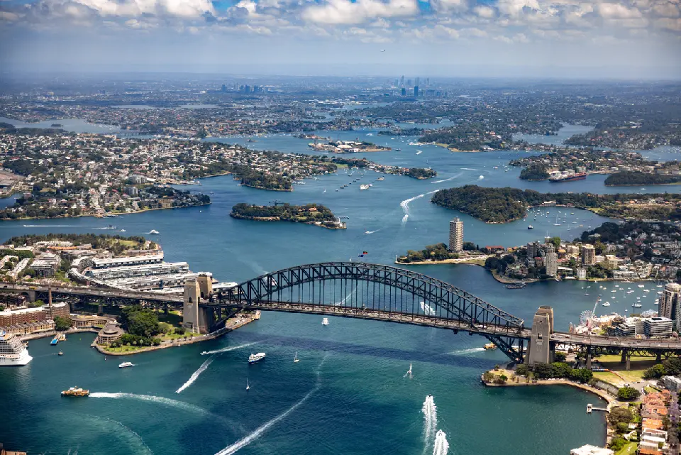
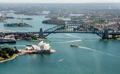
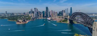
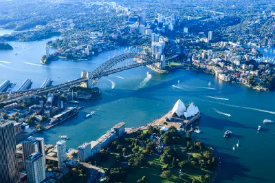
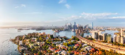
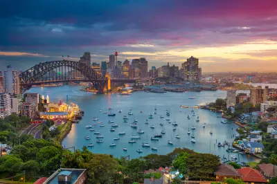
Aerial view over Sydney Harbour and Harbour Bridge, Australia.
Sydney Harbour is a vast drowned-river estuary on Australia's east coast, defined by branching waterways, sandstone headlands, sheltered coves and densely developed foreshores. The Sydney Opera House and Harbour Bridge occupy its central harbour, while islands, peninsulas and waterfront neighbourhoods extend through a complex natural harbour system. The terrain transitions between narrow channels, protected bays, rocky sandstone shores and elevated headlands. Urban development follows this irregular shoreline, creating constantly changing relationships between water, architecture, vegetation and the surrounding city. Changing tides, weather and directional light influence water colour, reflections and atmospheric clarity, while ferries and other harbour traffic introduce continuous movement throughout the day.
Gallery
Key POIs in Sydney Harbour
Nearby Places
View all on mapMrs Macquarie's Point
landmark — 0.7 km
Sydney, Blue Mountains & NSW Coast
Sea Cliff Bridge
landmark — 49.4 km
Sydney, Blue Mountains & NSW Coast
Lincoln's Rock
landmark — 79.0 km
Sydney, Blue Mountains & NSW Coast
Wentworth Falls
landmark — 79.0 km
Sydney, Blue Mountains & NSW Coast
Sublime Point
landmark — 82.1 km
Sydney, Blue Mountains & NSW Coast
Three Sisters
landmark — 84.3 km
Sydney, Blue Mountains & NSW Coast
Grand Canyon
landmark — 85.8 km
Sydney, Blue Mountains & NSW Coast
Pulpit Rock
landmark — 86.1 km
Sydney, Blue Mountains & NSW Coast
Overview
Sydney Harbour occupies the flooded lower reaches of the Parramatta River system, creating an intricate landscape of bays, coves, islands and sandstone peninsulas before opening into the Pacific Ocean. Its irregular shoreline produces numerous elevated and waterside viewpoints, while remnant bushland survives on several headlands alongside dense urban development. Around Circular Quay, the Sydney Opera House and Harbour Bridge create the harbour's most recognisable architectural concentration. Across the water, Kirribilli and Blues Point provide opposing perspectives, while Bradleys Head and other outer headlands place the city skyline and major landmarks within a broader natural harbour setting. The visual structure of the harbour is defined by the interaction of water, sandstone topography and architecture. Changing viewing angles continually alter the overlap between bridges, buildings, islands and headlands, while reflections, boat movement and directional light add variation across otherwise familiar compositions.
Key photography subjects
- Sydney Opera House and Harbour Bridge
- Harbour skyline and waterfront architecture
- Sandstone headlands, coves and harbour islands
- Kirribilli, Blues Point and opposing city viewpoints
- Ferries, yachts and working harbour activity
- Bushland headlands and natural harbour shoreline
- Sunrise, reflections and blue-hour cityscapes
Workshops in Sydney Harbour
No upcoming workshops scheduled for Sydney Harbour at this time.
Check back soon or explore other destinations.