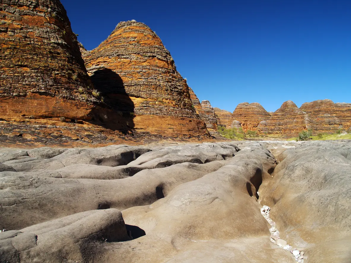
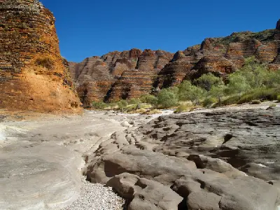
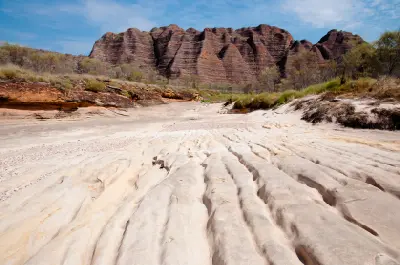
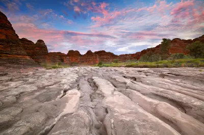
Piccaninny Creek during the dry season, Purnululu National Park, Western Australia.
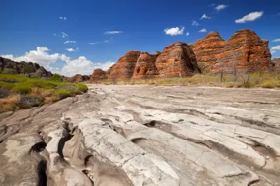
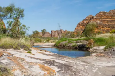
Piccaninny Creek is a broad seasonal creek system extending into the southern Bungle Bungle Range within Purnululu National Park. The route follows a sandy and rocky creek bed between striped sandstone domes before continuing deeper into the range toward increasingly enclosed valleys and gorges. Repeating domes, open creek-bed foregrounds and changing sandstone formations provide varied opportunities for landscape and geological photography.
-17.58321, 128.42051
Gallery
Quick Facts
Access
Serious Hike
3+ hours
Elevation Gain
200 m
Best Light
Low-angle light reveals the striped sandstone and repeating dome forms while creating depth across the broad creek bed and surrounding ranges.
Why This Light
Season
Seasonally Distinct
Summer brings seasonal water, greener vegetation and storm conditions across the creek system during the Kimberley wet season. Winter brings a dry creek bed, golden grasses and stronger orange and grey tones across the surrounding sandstone domes.
Crowds
Usually Quiet
Restrictions
Piccaninny Creek is reached from the southern section of Purnululu National Park, with access to the park generally requiring a high-clearance 4WD and subject to seasonal closure during the wet season. Shorter walks can explore the lower creek, while travelling deep into Piccaninny Gorge requires a substantially longer remote hike. Visitors continuing beyond the normal day-walk area should check current park requirements, route conditions and any registration or overnight-camping requirements before departure.