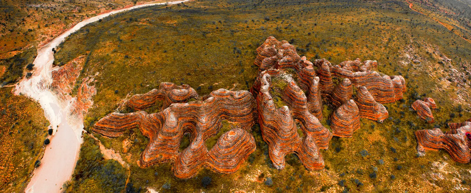
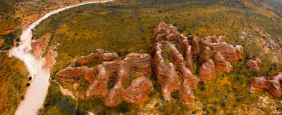
Aerial view of the Bungle Bungle Range in Purnululu National Park, Kimberley, Western Australia.
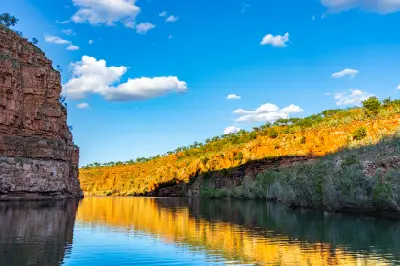
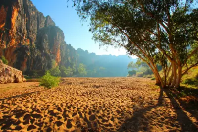
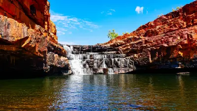
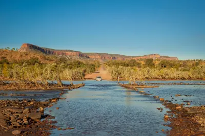
The Kimberley is a vast tropical wilderness in northern Western Australia, defined by ancient sandstone plateaus, rugged ranges, deep river gorges and an exceptionally remote coastline. The region extends from Broome and the Dampier Peninsula across the central Kimberley to Kununurra and the eastern ranges, combining tropical savanna, monumental escarpments and some of Australia's largest remaining natural river systems. The terrain transitions between dissected sandstone uplands, broad savanna plains, limestone ranges and deeply incised river valleys. Rivers and seasonal waterfalls cut through the plateau, while the northern and western coastline forms an intricate landscape of cliffs, islands, tidal inlets and mangrove-lined estuaries. Strong seasonal variation transforms the landscape, with the dry season exposing red rock, golden grasses and permanent waterholes before monsoonal rain fills rivers and waterfalls and restores intense green vegetation across the ranges and savannas.
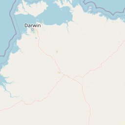
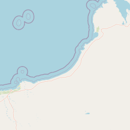
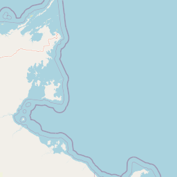
Structured Map of Kimberley
A connected view of the landscape, organised by regions, areas, and key locations.



Prince Frederick Harbour
area district
Hunter River
water feature
Mitchell Falls
water feature
Mitchell Plateau
area district
Mertens Falls
water feature
King George Falls
water feature
North Kimberley
area district
Drysdale River
water feature
Cockburn Range
landmark
Pentecost River Crossing
water feature
Chamberlain Gorge
water feature
El Questro Gorge
water feature
El Questro & East Kimberley
area district
Emma Gorge
water feature
Lake Argyle
water feature
Echidna Chasm
landmark
Bungle Bungle Range
landmark
Purnululu & Bungle Bungles
area district
Cathedral Gorge
landmark
Piccaninny Creek
landmark
Windjana Gorge
water feature
Tunnel Creek
landmark
Bell Gorge
water feature
West Kimberley
area district
Horizontal Falls
water feature
Montgomery Reef
water feature
King Cascades
water feature
Areas in Kimberley
Gallery
Overview
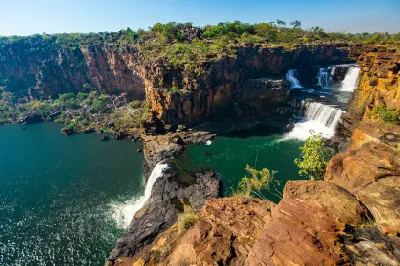
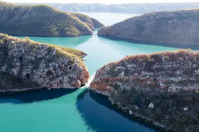
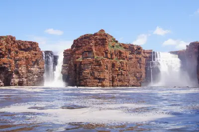
The Kimberley is structured around an ancient and extensively dissected plateau surrounded by ranges, plains and desert margins. Sandstone dominates much of the rugged interior, while ancient limestone reef systems form distinctive ranges in the west. Rivers have cut through these formations to produce immense gorges, escarpments, waterfalls and isolated rock landscapes across one of Australia's largest wilderness regions. Across the interior, tropical savanna and open woodland extend between rocky ranges and major river systems including the Fitzroy and Ord. Toward the coast, the plateau breaks into towering sandstone cliffs, deeply indented bays, tidal rivers and thousands of offshore islands, creating a markedly different landscape from the broad plains and ranges farther inland. The visual structure of the region is defined by immense scale and strong contrasts between red rock, golden savanna, dark gorges and tropical water. Seasonal waterfalls, boab-dotted plains, exposed escarpments and long river corridors create repeated focal points within otherwise expansive wilderness, while monsoonal cloud and low-angle dry-season light continually alter colour and atmospheric depth.
Key photography subjects
- Sandstone ranges, escarpments and deeply incised gorges
- Waterfalls, river systems and permanent gorge pools
- Boab trees and expansive tropical savanna landscapes
- Ancient limestone ranges and exposed geological formations
- Remote Kimberley coastline, islands and tidal waterways
- Red-earth tracks, rocky plateaus and wilderness landscapes
- Monsoonal storms, dry-season light and seasonal transformation
Workshops in Kimberley
No upcoming workshops scheduled for Kimberley at this time.
Check back soon or explore other destinations.