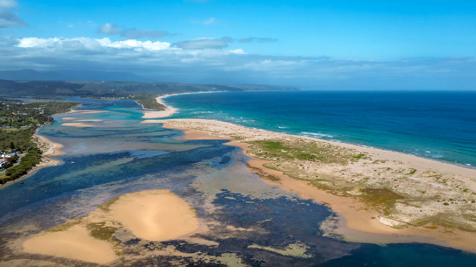
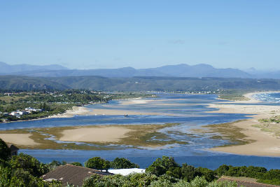
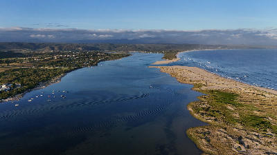
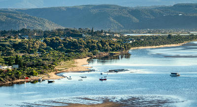
Aerial view of the Keurbooms River Mouth where shifting sandbanks, estuarine channels and the Indian Ocean meet near Plettenberg Bay on South Africa's Garden Route.
Plettenberg Bay is a coastal town situated between sweeping beaches, rocky headlands, and the Indian Ocean along South Africa's Garden Route. The settlement occupies a broad bay backed by hills and coastal vegetation, creating one of the region's most recognisable seaside settings. Its position between Robberg Peninsula and the Keurbooms River system defines the character of the surrounding coastline.
-34.03024, 23.39101
Gallery
Quick Facts
Access
Roadside / Step-out
0–5 min
Elevation Gain
0 m
Best Light
Low-angle light enhances reflective water surfaces and creates greater separation between channels, sandbanks, dunes, and ocean.
Why This Light
Season
Weather-Dependent
Summer typically brings calmer conditions, clearer water, and more defined river channels and sandbanks. Winter often introduces larger swells, changing water levels, and more dramatic weather conditions across the estuary and coastline.
Crowds
Busy Sunrise/Sunset
Restrictions